West Coves (Sant Josep) – Ibiza
Mountain Bike routes
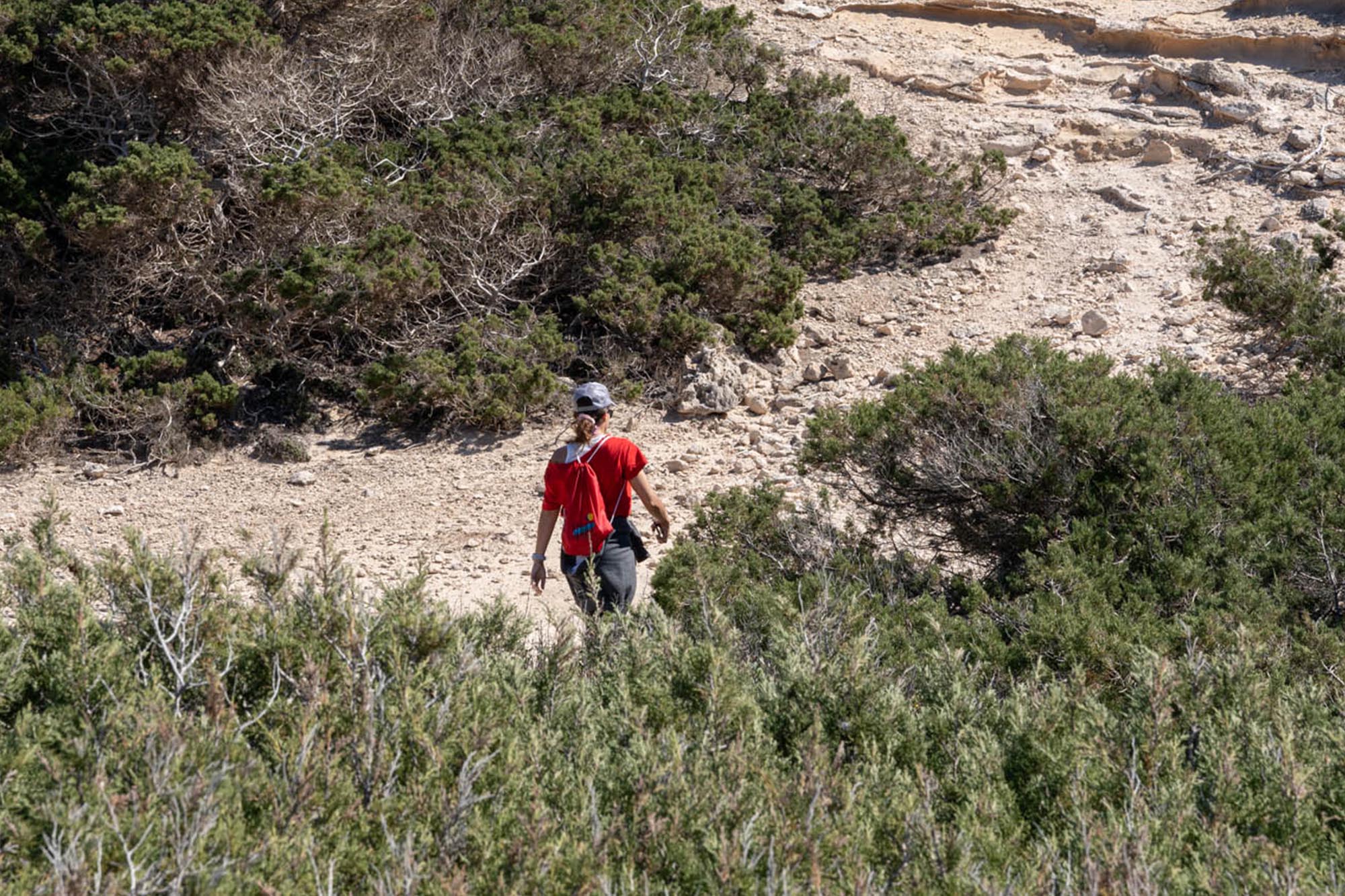
This is a mixed route between the coast and the mountains, with a high percentage of paths and lanes that can become somewhat complicated if we coincide with a day of rain or wind.
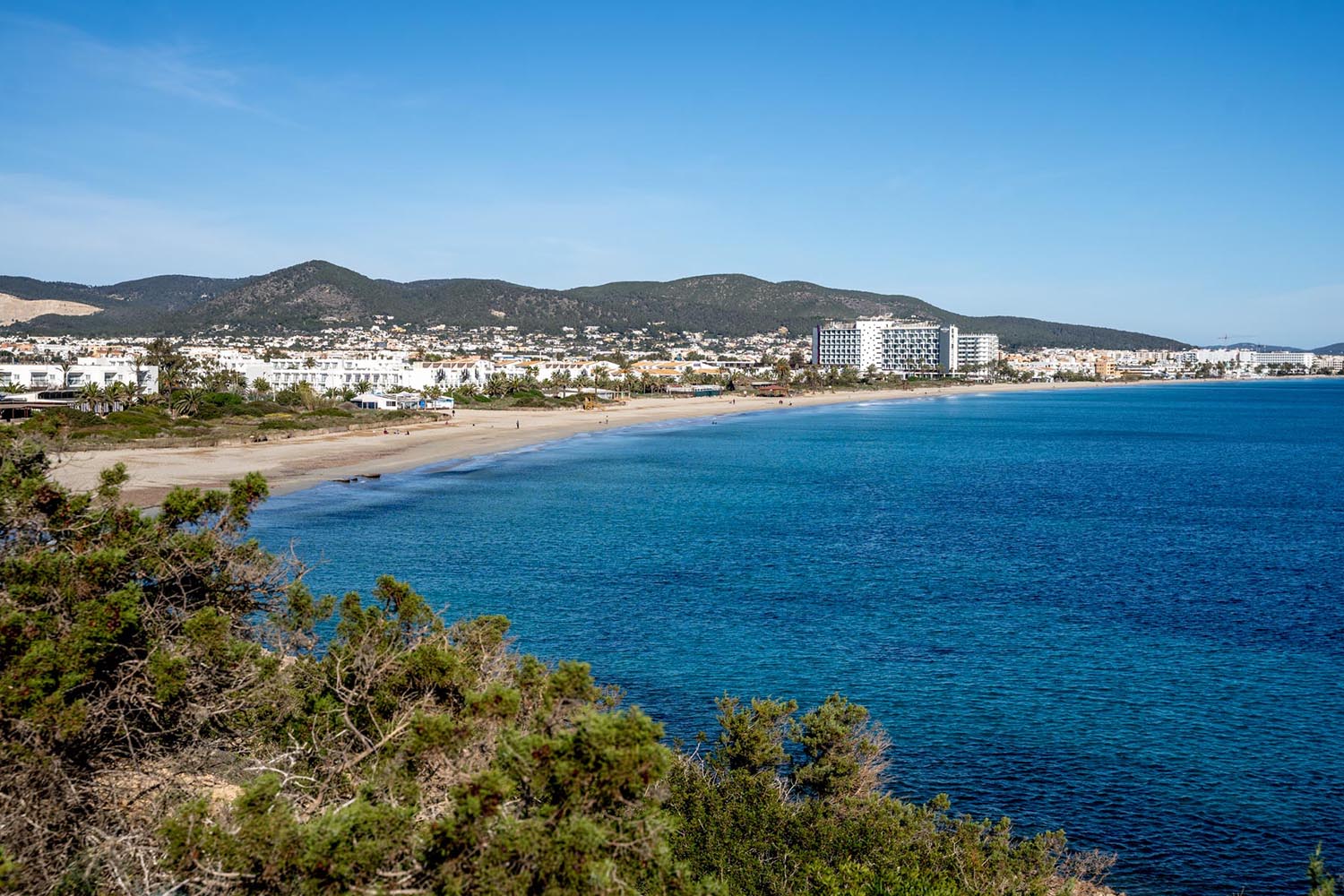
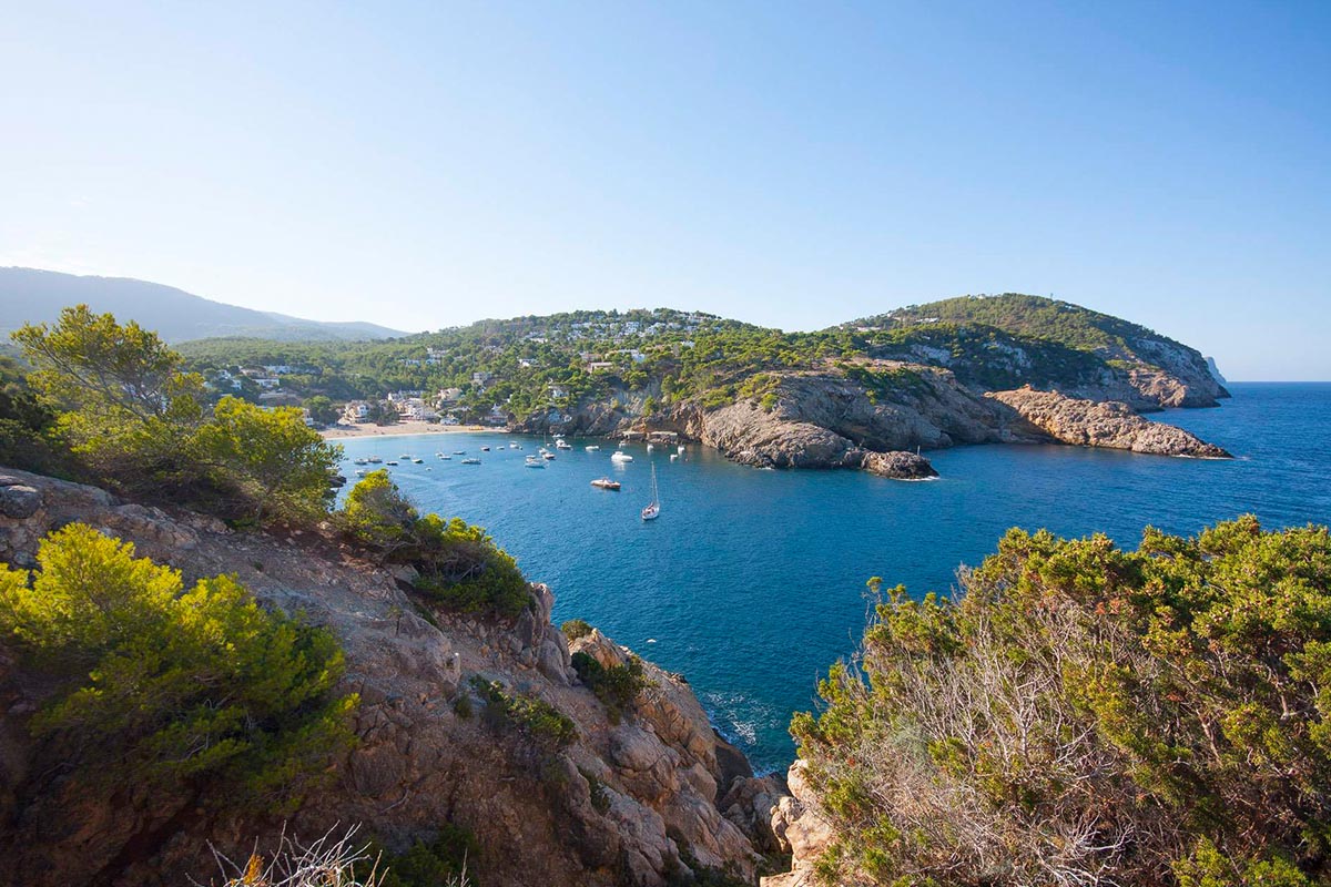
Starting from San Antonio, we leave bordering the coast along a short section until we start to climb the Sierra d’en Curtet, a beautiful mountain at an altitude of 260 metres offering unique views of San Antonio to one side and the island of Es Vedrá to the other.
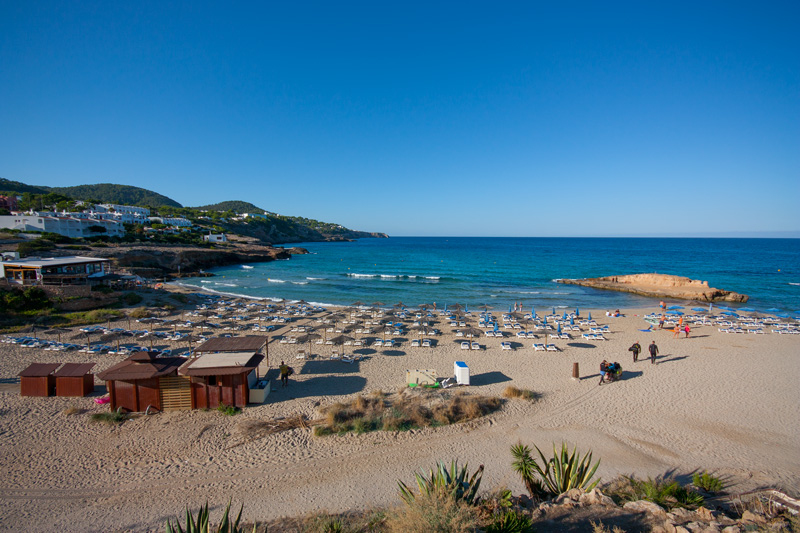
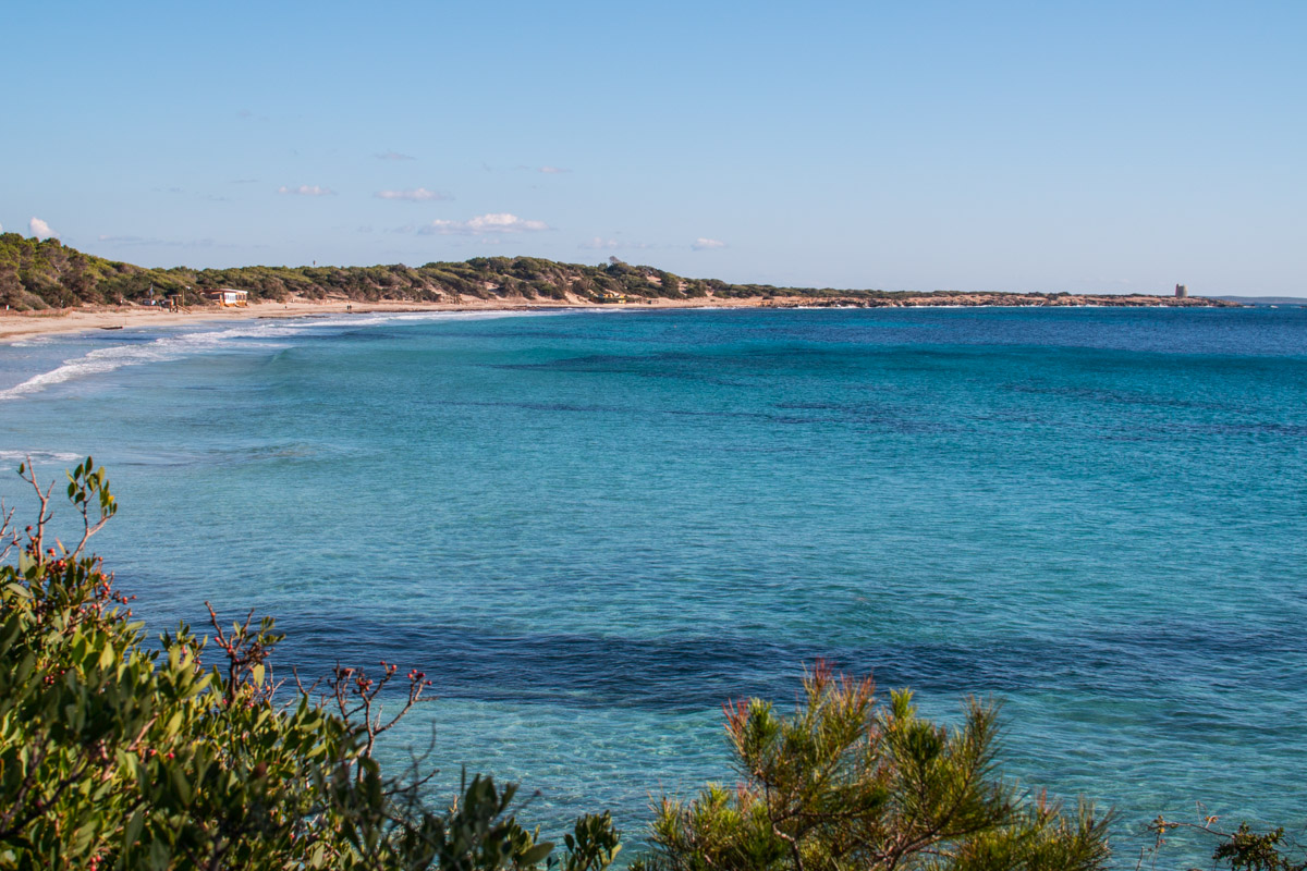
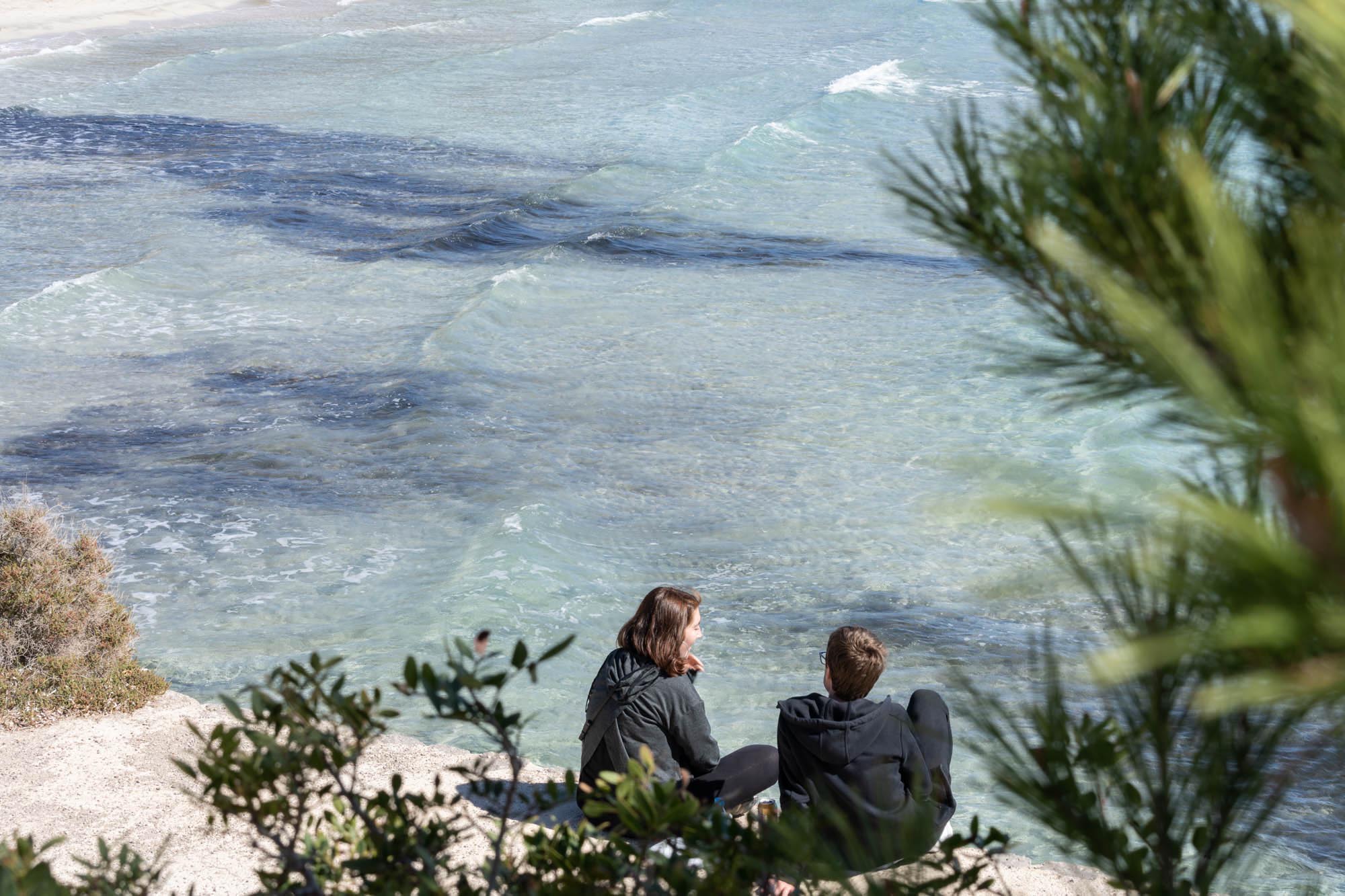
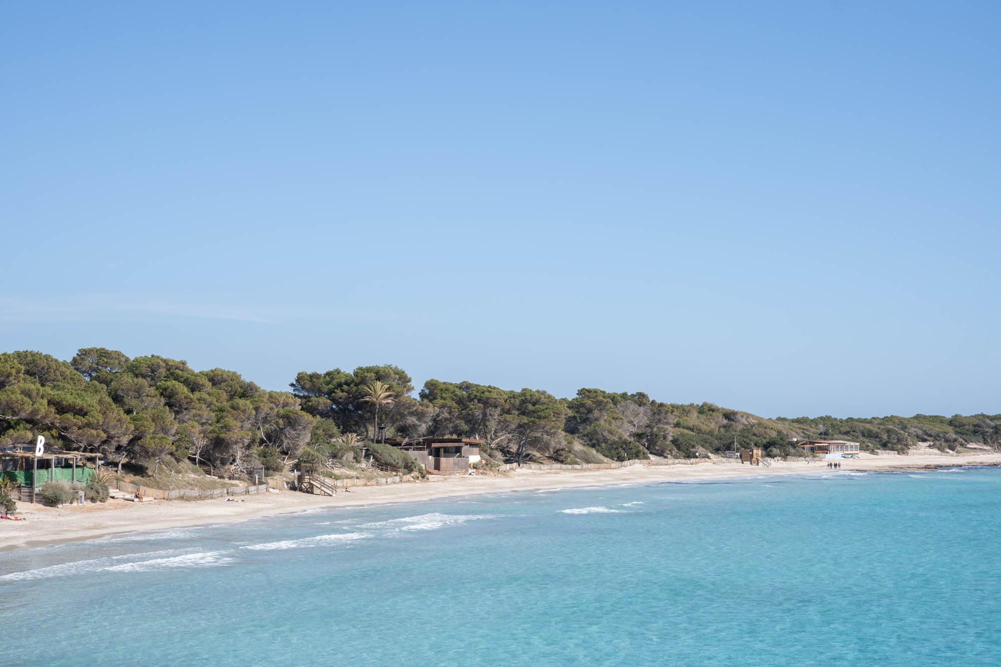
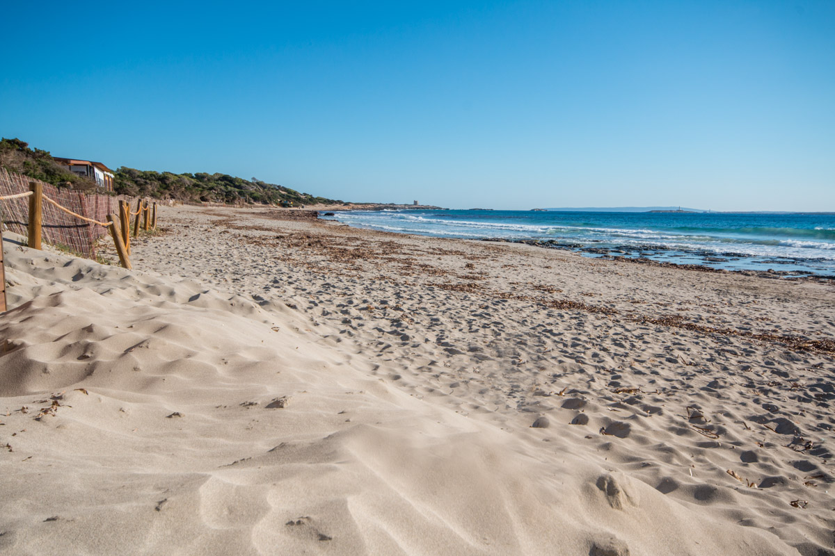
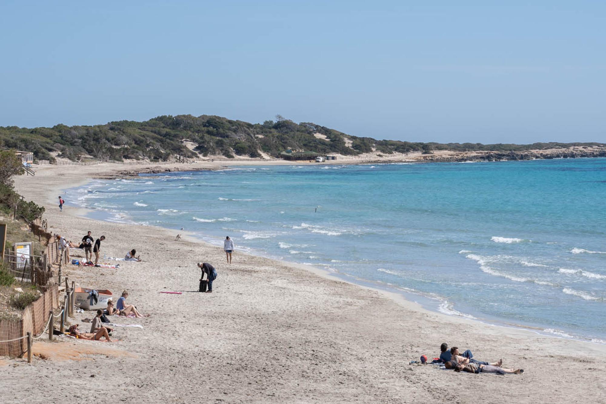
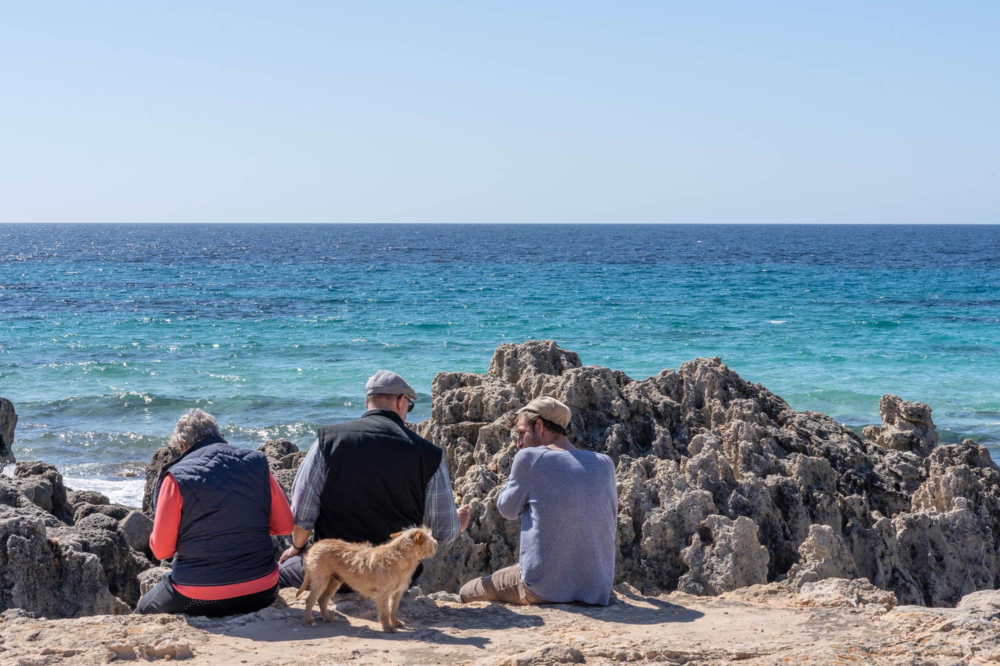
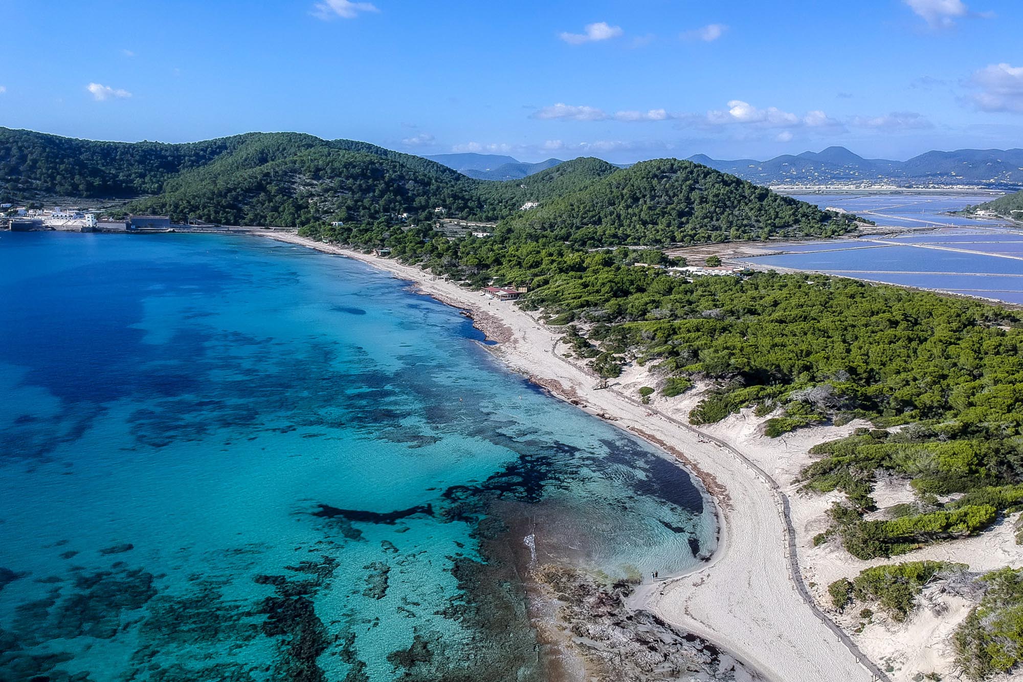
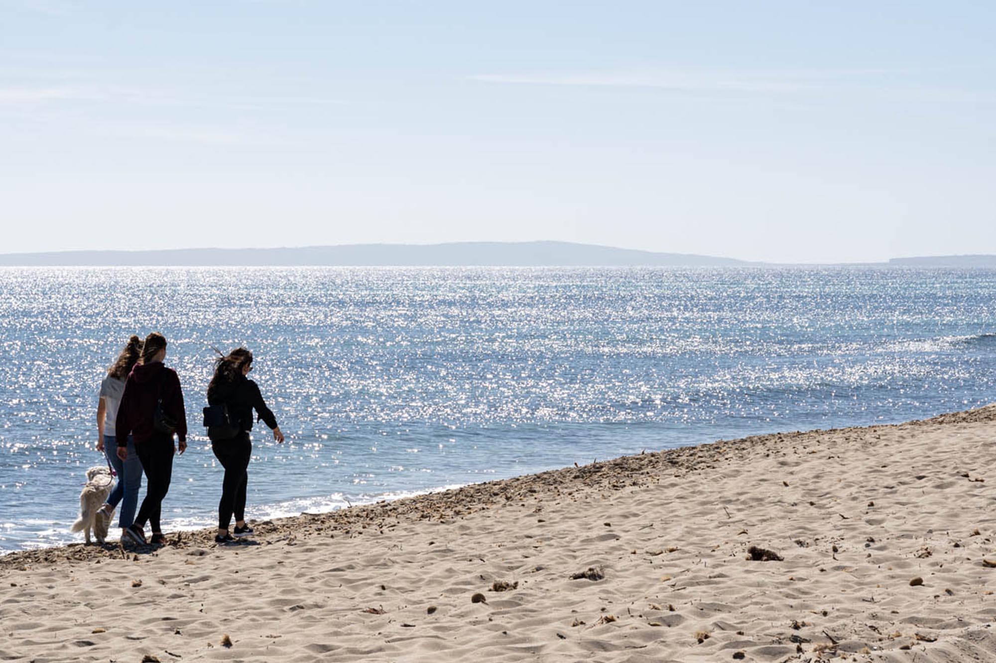
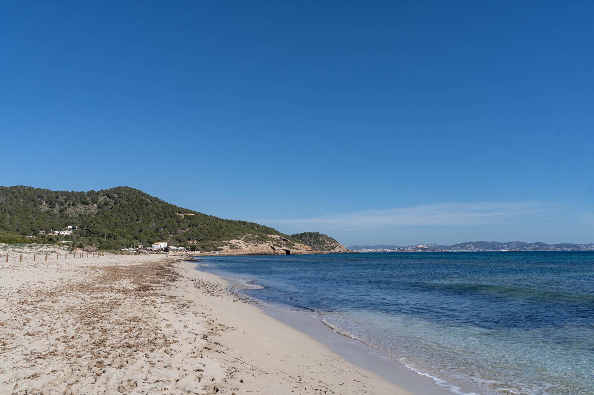
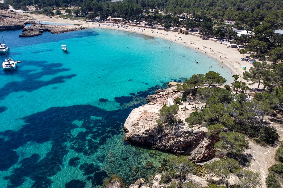
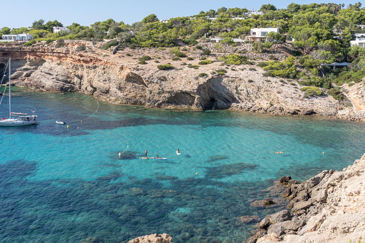
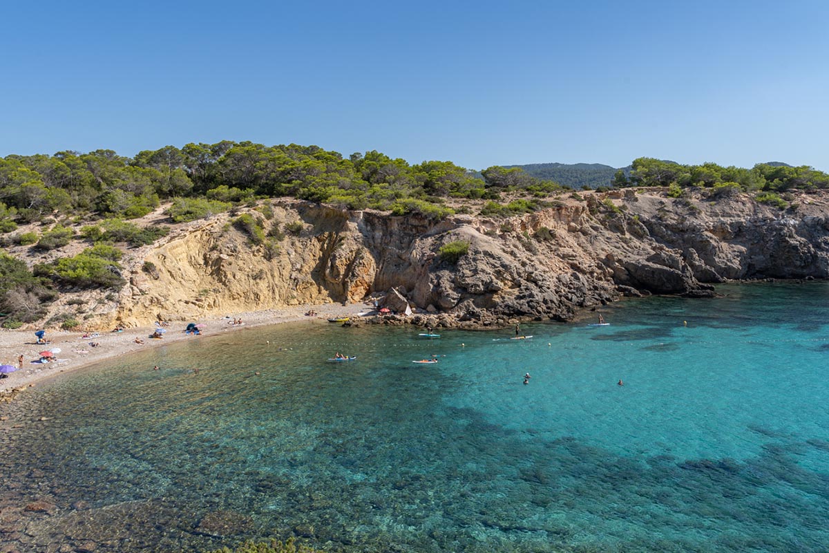
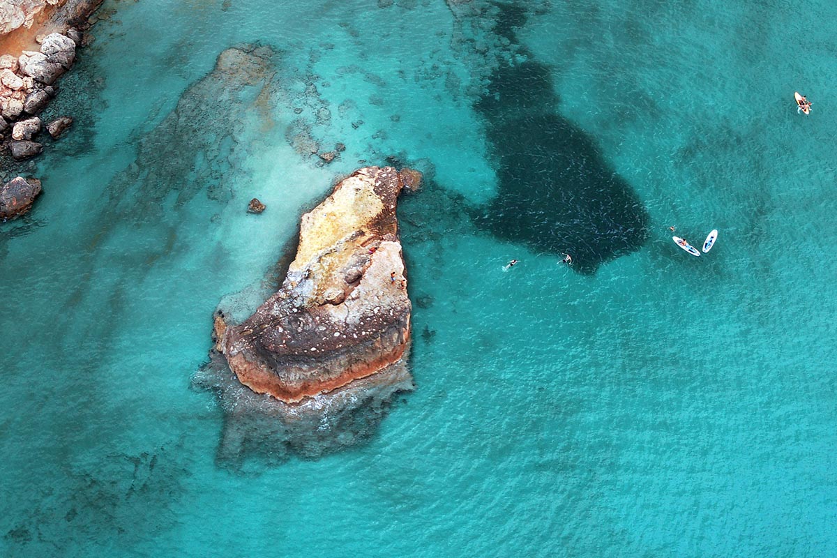
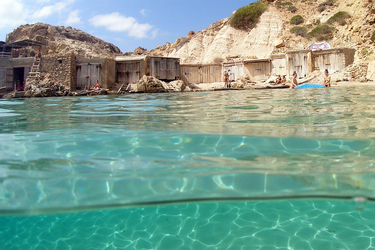
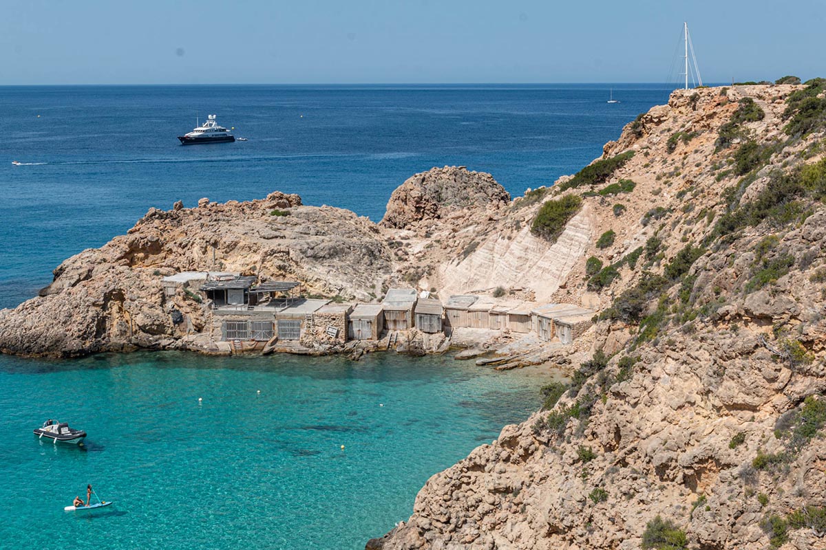
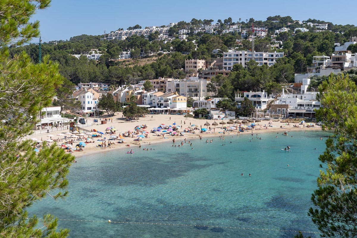
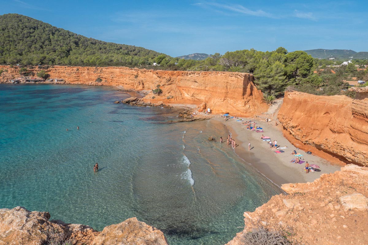
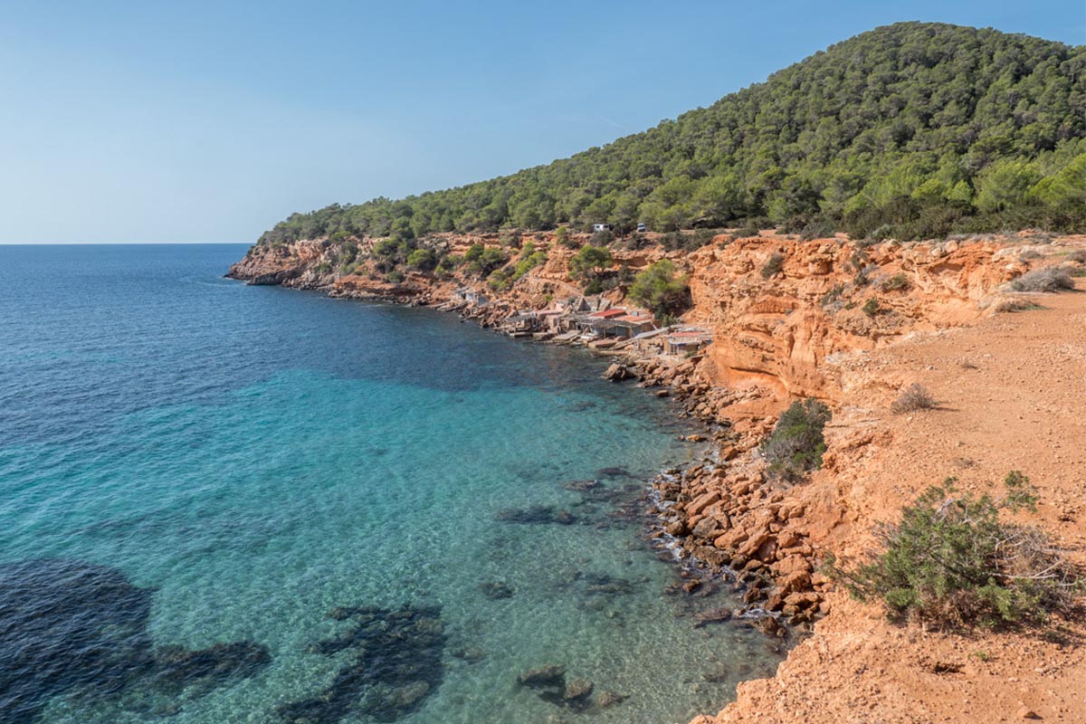
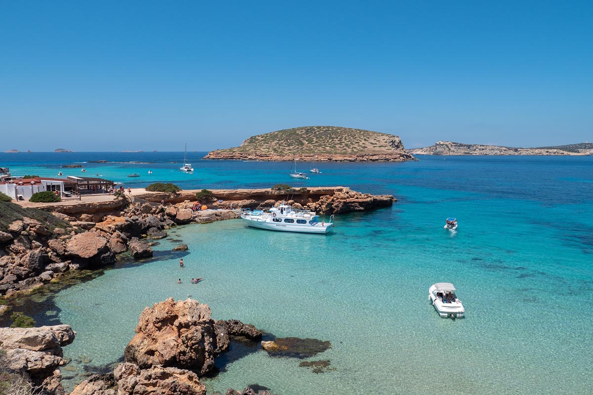
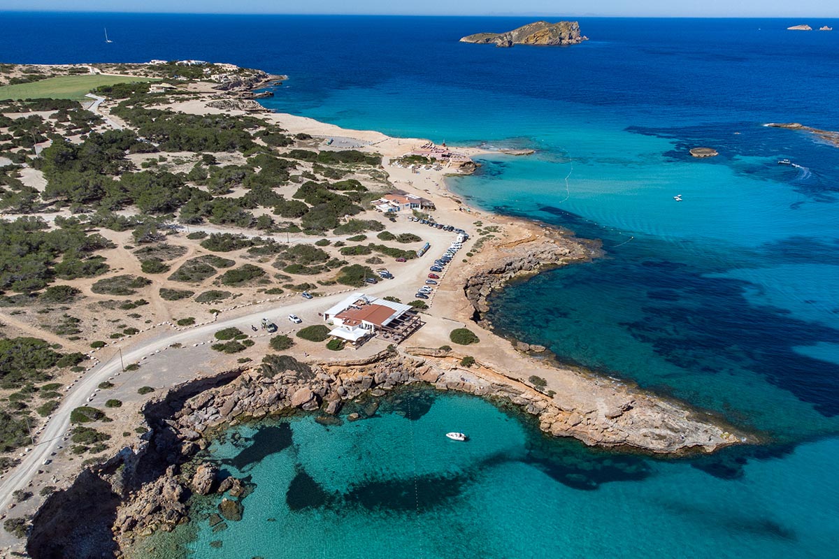
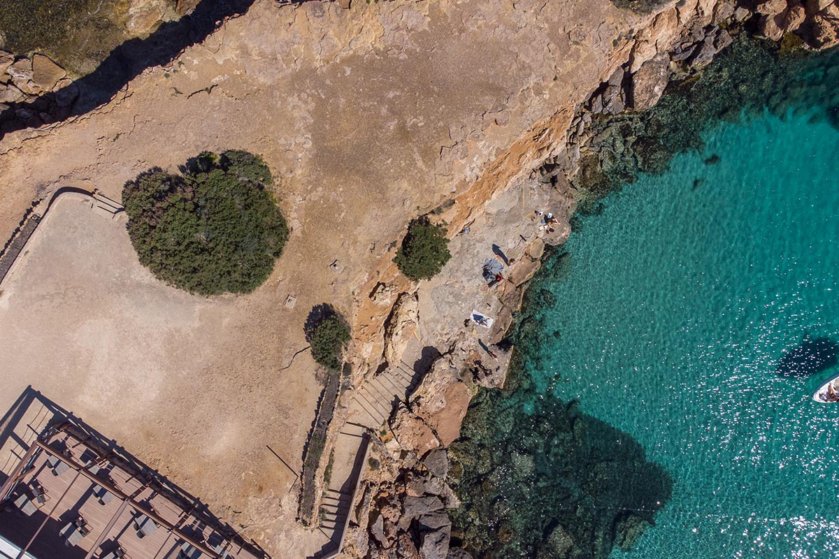
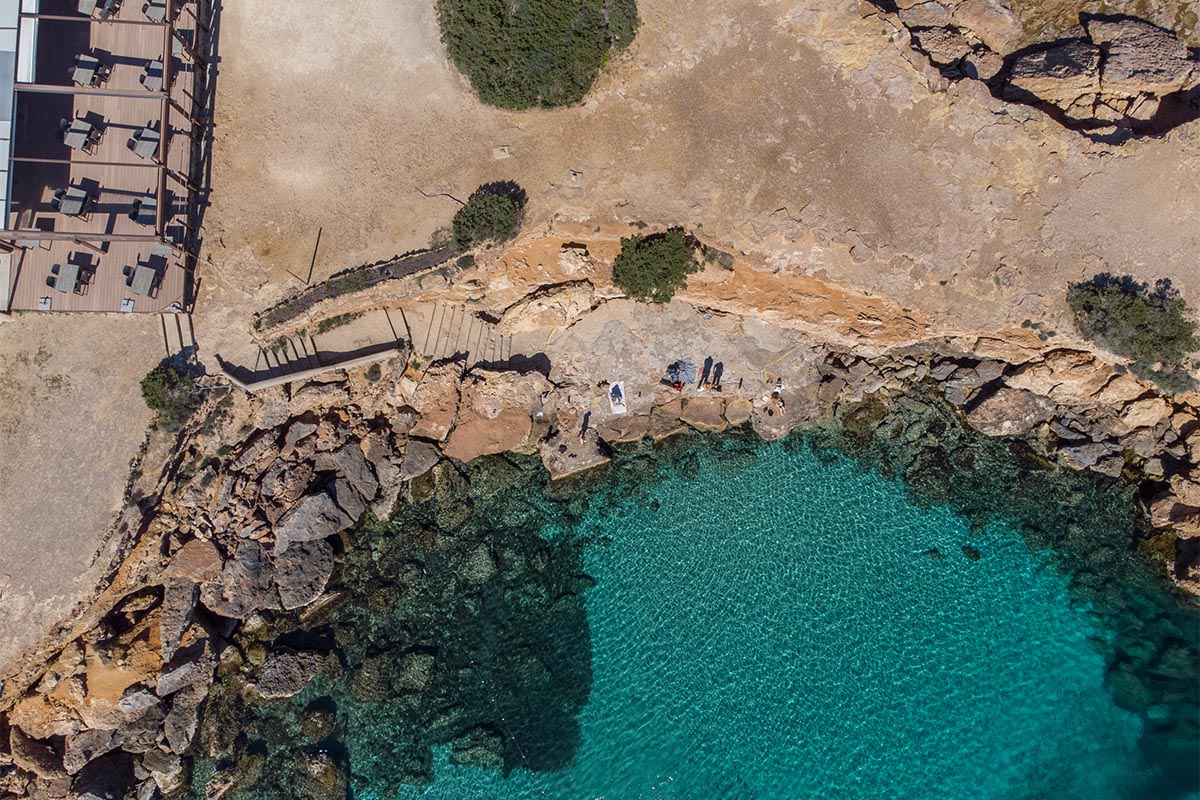
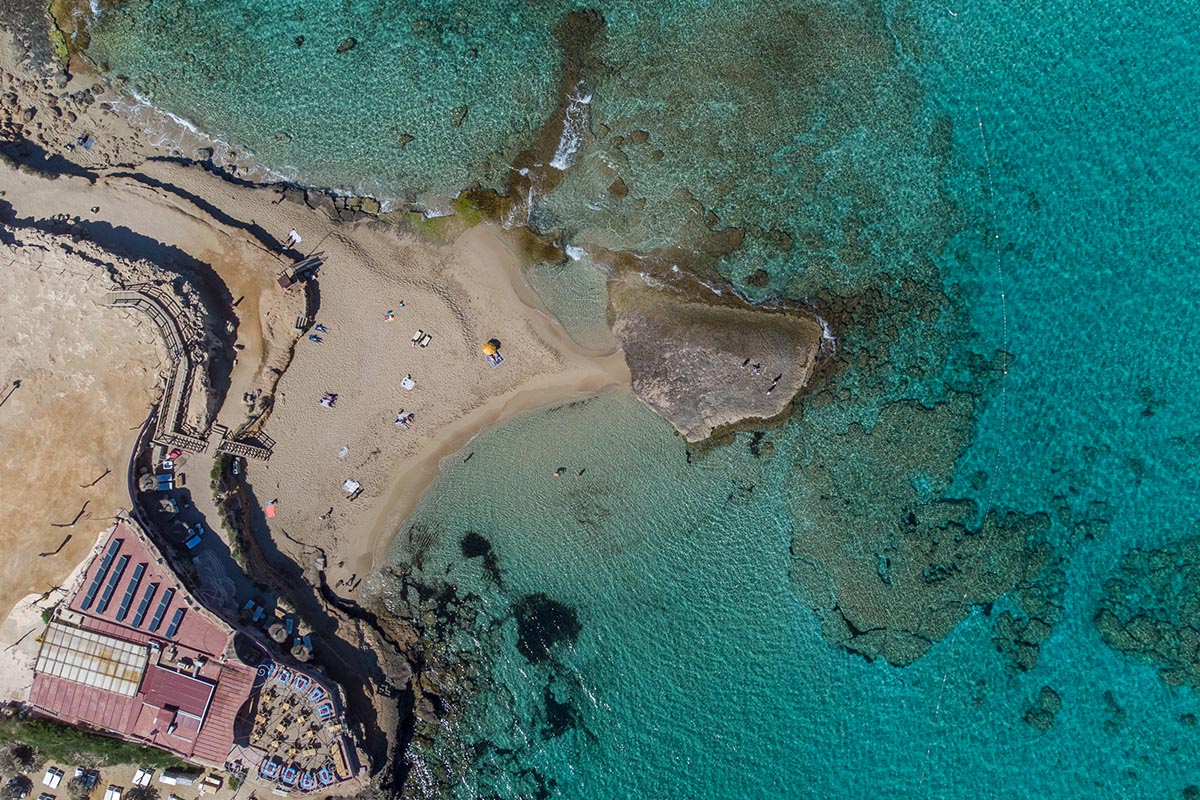
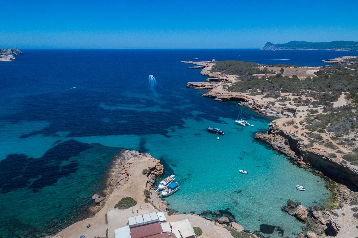
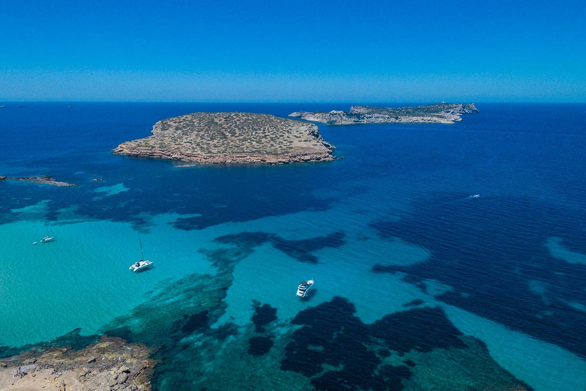
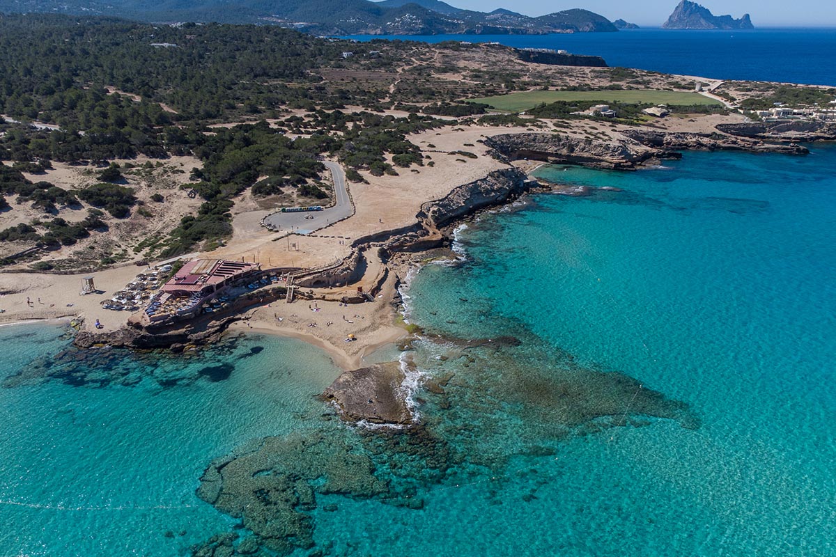
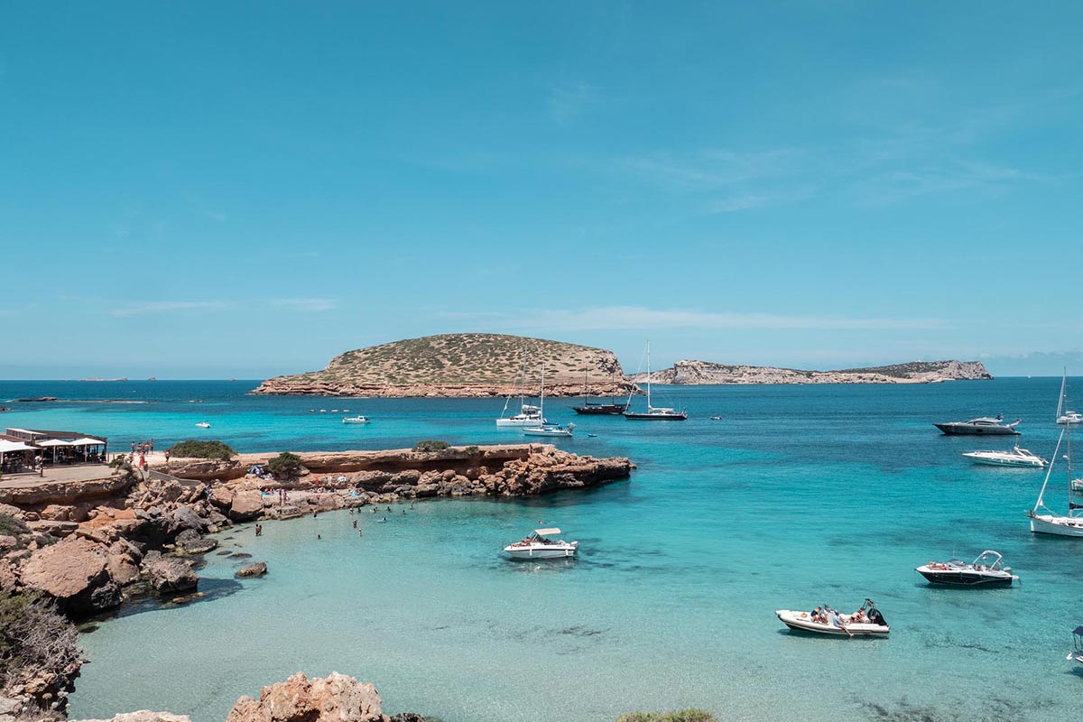
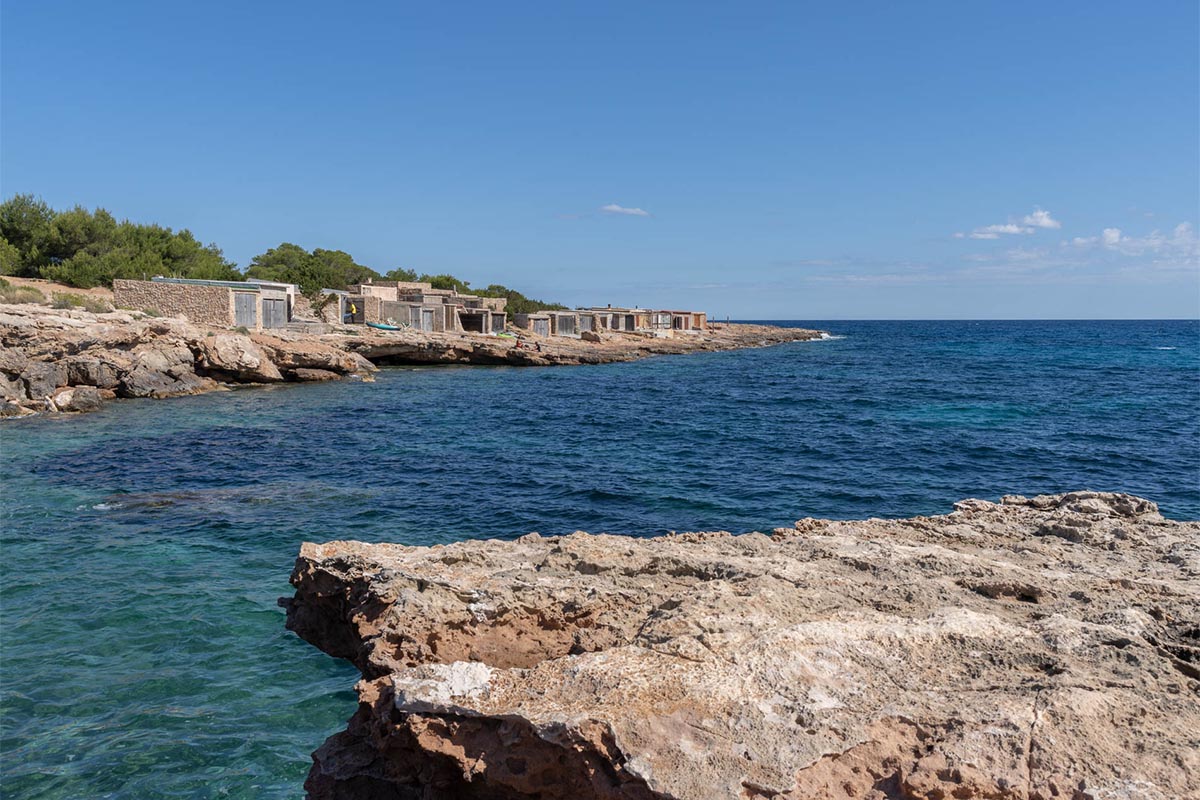
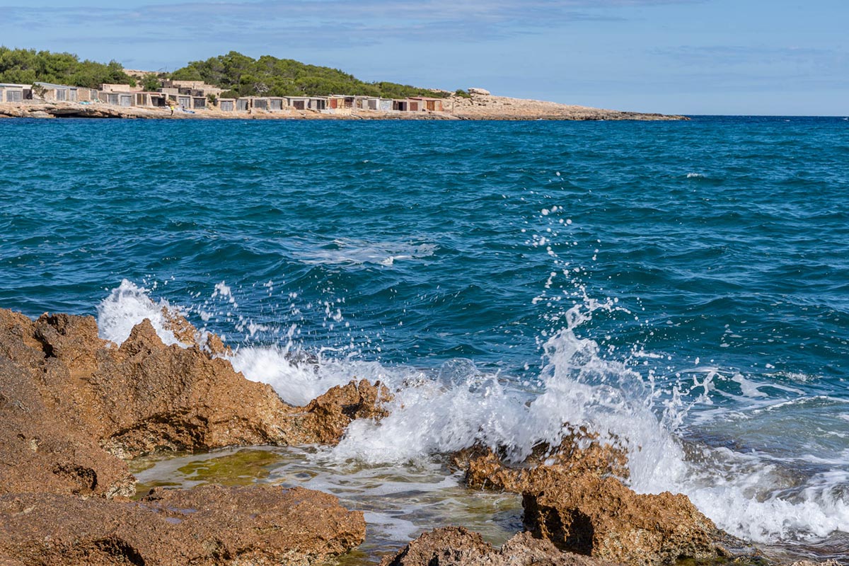
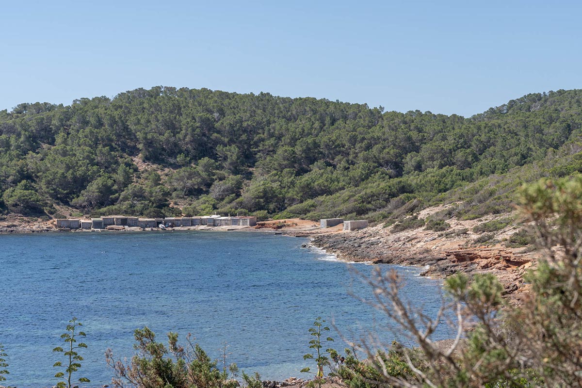
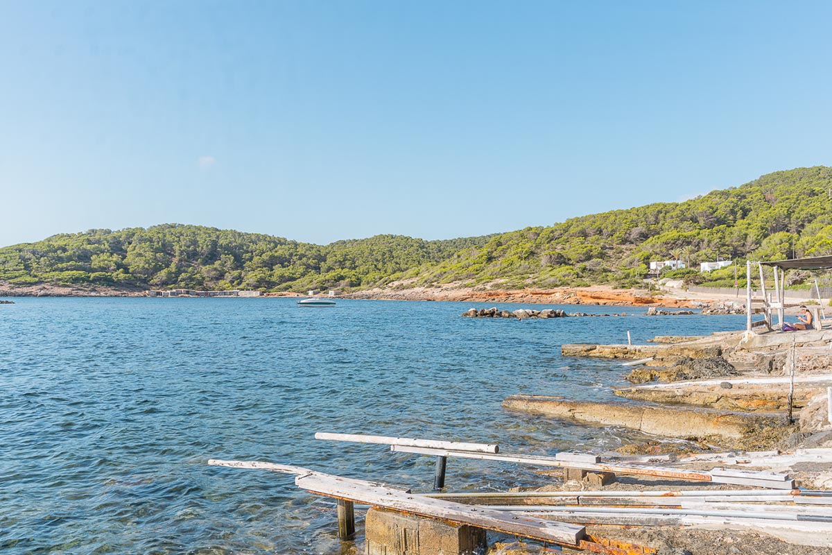
Upon descending we cross the Torrent de sa Fontassa until we reach Cala Tarida, a lovely beach where we can refresh ourselves. From here, we will not leave the coast until the end, visiting Cala Codolar, Platges de Comte, Cala Roja and Cala Bassa along a circuit on the edge of the cliffs with magnificent views to the islets that border the west coast.
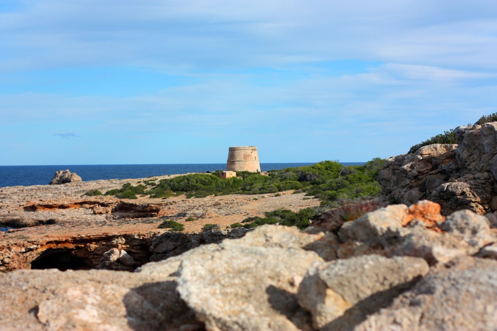
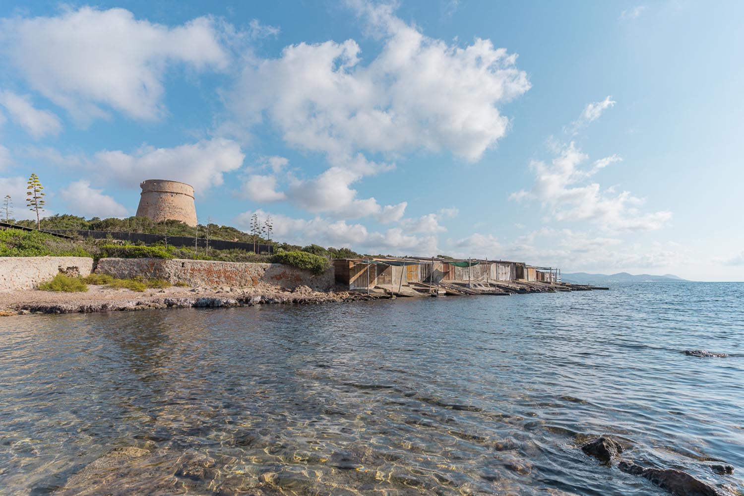
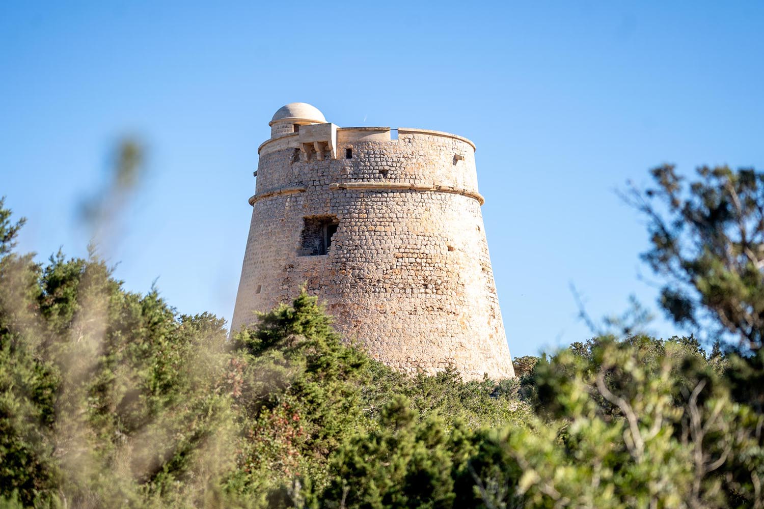
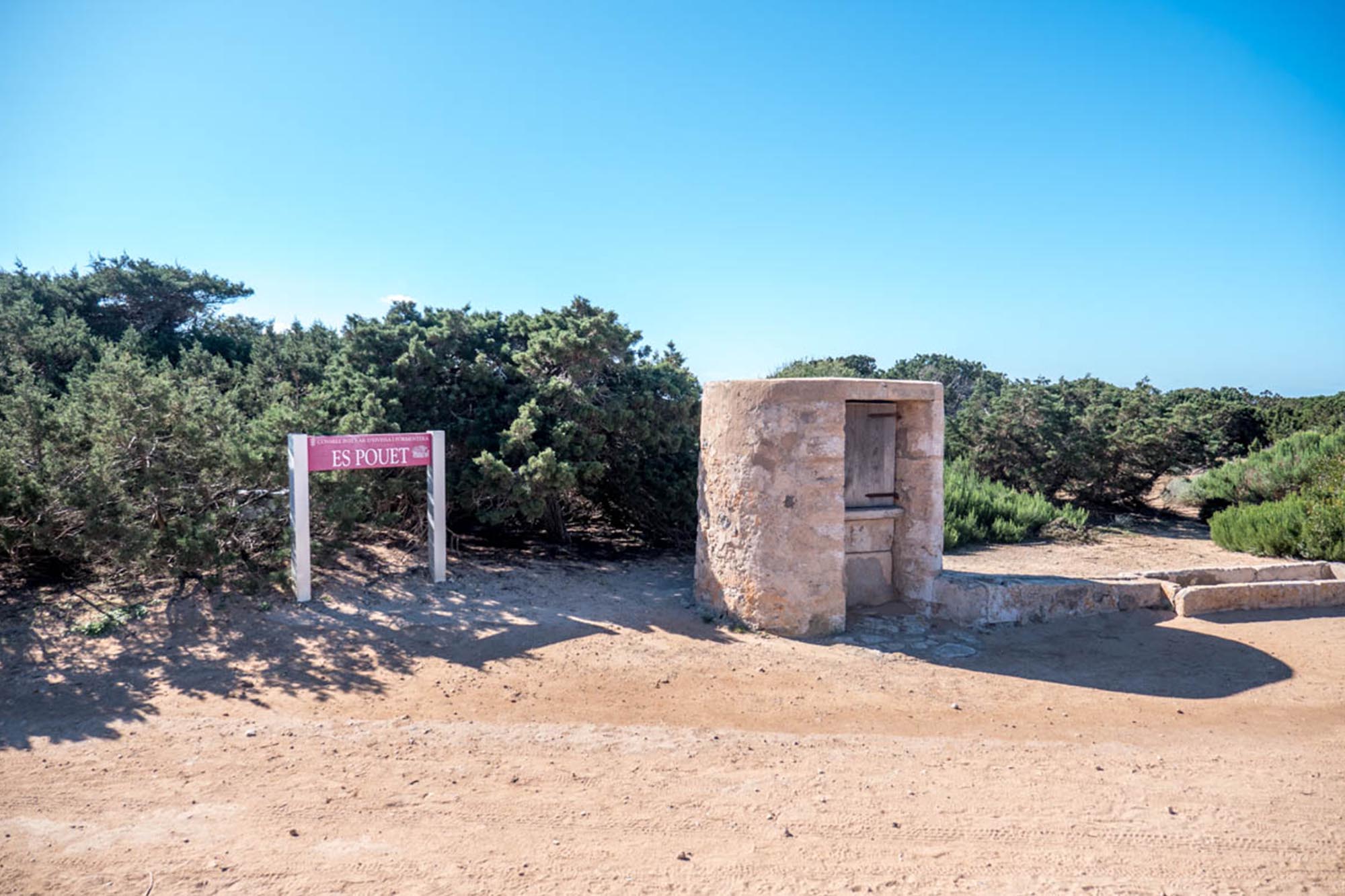
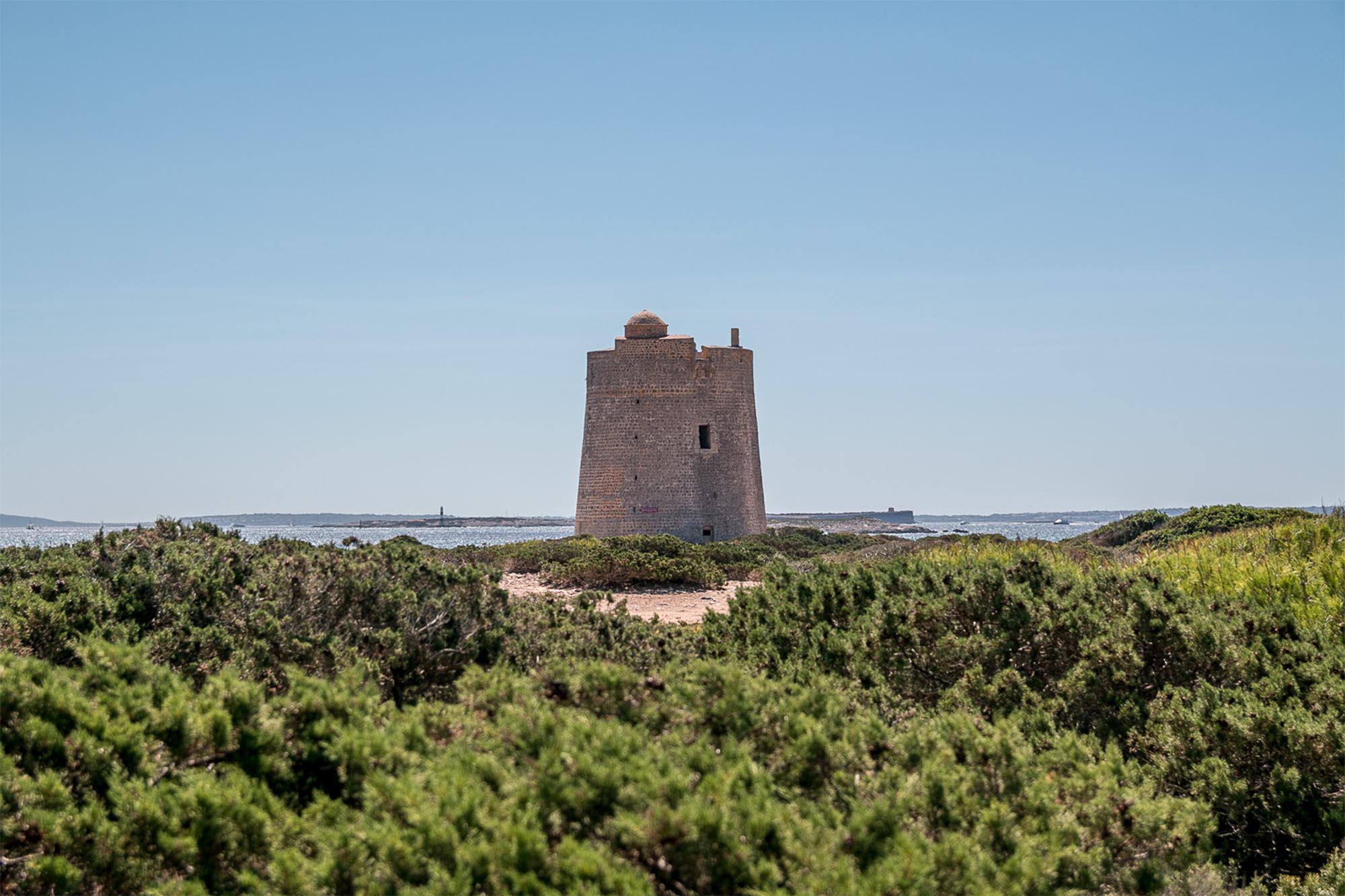
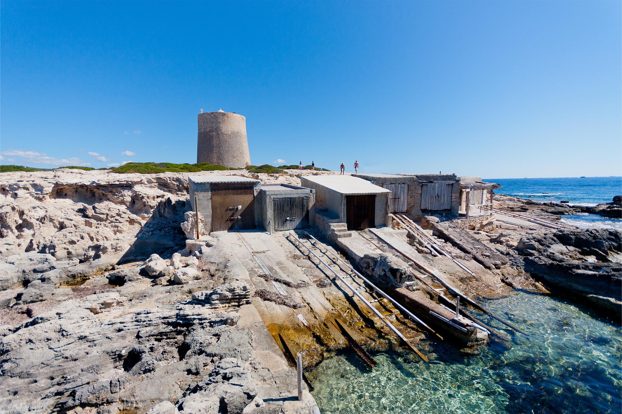
Taking the opportunity of this route, it is almost a must to visit the Torre d’En Rovira next to Cala Roja; for this we will need a few minutes deviation. In return we will find a lookout post that was essential for the inhabitants of the island for protecting themselves from being attacked from the sea.
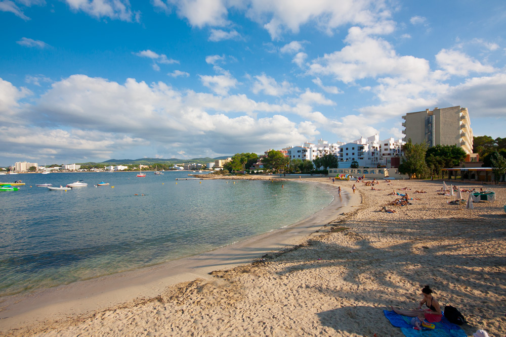
And finally, we will return to San Antonio along its peaceful sea-front promenade with the fantastic memory in our minds, and our legs, of a route that is difficult to forget.
Distancia total – 31,43 Km
Tiempo estimado – 3-4 horas
Ascenso total – 514
Descenso total – 514
Carretera – 10%
Pista – 55%
Camino – 35%
Dificultad técnica – Media
Dificultad física – Media
Dificultad global – ROJA
– There are no springs along the route. We should take a good water supply before leaving.
– Always wear your helmet.
ROUTE METER
1. Departure. We set out from the Seafront Promenade in San Antonio towards the South, alongside the beach.
2. Left turn. Before reaching the mill, we turn to the left and a little further on we join the street turning to the right.
3. Straight ahead at crossroads. We reach a crossroads and continue straight on, we turn to the right at the third crossroads next to a house.
4. Left turn at the crossroads onto a track. Upon reaching this track we turn to the left until we reach a tarmac road. At this point we continue straight along a path.
5. Straight ahead at the crossroads. Along this lane there are several deviations but we continue straight on without taking the road that continues parallel to us.
6. Left turn at the crossroads onto the road. We come out to a road with a cycle lane and we turn to the left. A little further on we turn at the first dirt track to the right.
7. Left fork. At this fork we continue on the left and then we turn to the right. We continue straight on passing next to some houses until we reach a lane alongside a fast stream where we turn to the left.
8. Right turn at the crossroads onto the road. We come out onto a road and we turn to the right and then turn to the left towards the West.
9. Straight on at crossroads to a track. At this bend in the road we continue straight on along a dirt track. At the next two forks, we continue to the left.
10. Right turn at the crossroads. At this and the next crossroads, we continue to the right.
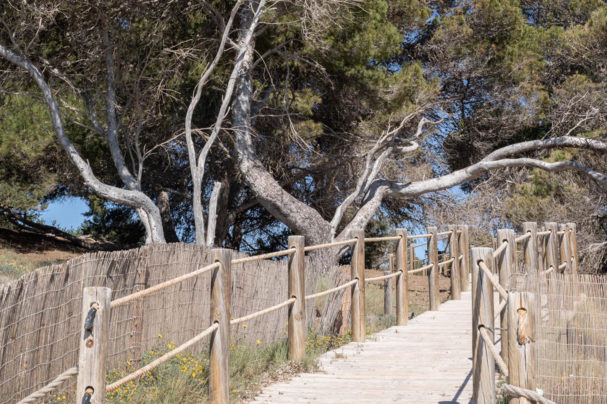
11. Left turn onto the path. At this point we enter along a hidden path through the forest to the left. At the next fork to the left and a little further on, upon reaching a track, we continue to the left.
12. Right turn. We come across a lane and turn to the right going uphill along a stony track. At the next two forks, we continue to the left.
13. At the crossroads, turn to the left. We pass next to a house and take a path to the left just behind the abandoned house.
14. Straight ahead at the crossroads. We reach a crossing of paths and we continue straight on. At the next crossroads we turn to the right going uphill for a short section.
15. Right turn at the crossroads onto a lane. Upon reaching this lane, we turn to the right and we continue descending without turning off until we come to a track.
16. Right turn at the crossroads onto the track. We come out at a track where we turn to the right and continue for some 200 metres as far as a fork where we take the left.
17. Left fork. We reach a fork and we continue along the left, it turns into a path until we reach a road where we turn to the right.
18. Right turn at the crossroads. We reach a road and we turn to the right. At the next fork we continue to the right.
19. Left turn. We take this deviation as far as the beach of Cala Tarida where we follow along the sand until the end and then climb some stairs to the right.
20. Left turn along a lane. Once we have gone up the stairs, we take a lane to the left that goes uphill as far as a road and we turn to the right until, at the next crossroads we turn to the left.
21. Right fork. We reach a fork and we turn to the right descending until the access to Cala Corral but we continue straight on, now going uphill.
22. Right turn at the crossroads. Next to some bins, we turn to the right until a dirt track and we make two left turns, heading North.
23. Straight on at crossroads. We reach this crossroads and we continue straight on, at the next crossroads we turn left and then right towards Cala Codolar.
24. Right turn at the crossroads to the stairs. We arrive at the beach and we turn to the right along a small track that takes us to some stairs, that we then go up.
25. Left turn at the crossroads onto the road. We continue as far as a residential complex and here we turn to the left as far as a crossroads where we continue to the right heading West.
26. Right turn at the crossroads. At this crossroads we continue to the right, at the next to the left and then to the right towards San Antonio.
27. Left turn to lane. At this point we turn to the left along a lane until a house that we skirt to the left as far as the cliffs. From here on we follow the coastline for 1 Km.
28. Right turn at the crossroads to track. We reach a track and we turn to the right, at the next we go to the left and then to the right.
29. Left turn onto a path. At this point we turn off to the left along a path until we reach Platges de Comte, where we can buy provisions. Once there, we continue following the coast along stony dirt tracks.
30. Right turn. We leave the cliffs and we turn to the right through the forest then to the left until Cala Roja where we continue skirting the cliffs in an easterly direction.
31. Right turn. At the end of Cala Roja we turn to the right through the forest, leaving the coast. We enter a labyrinthine section with lanes and trees where we continue heading South as far as a house where we follow a track that starts there.
32. Left turn at the crossroads. We reach a crossroads next to a house and we turn to the left until Cala Bassa. From this cove a stony track emerges leading East, skirting the coast along a stretch of some 200 metres.
33. Straight on at the crossroads. We reach a track and we continue straight on until the next crossroads with another track where we turn to the left, we continue on this track without turning off until we reach a road.
34. Straight on at crossroads onto road. We come out onto a road and continue straight on until we reach San Antonio.
35. At the crossroads, left turn. From this crossroads we continue along the first stretch of the route until the starting point.
36. End of the route.


