Ibiza world heritage site (Sant Josep) – Ibiza
Mountain Bike routes
This is a one-way route through the mountains between the two largest cities of the island: Eivissa and Sant Antoni.
We reach an elevation of 350 meters twice along the route. From there, we have wonderful panoramic vistas of the island and the thick pine and juniper woods that cover most of the island’s mountains.
The first ascent to Serra de Sa Murta gives us an idea of the mountainous, inland features of this route.
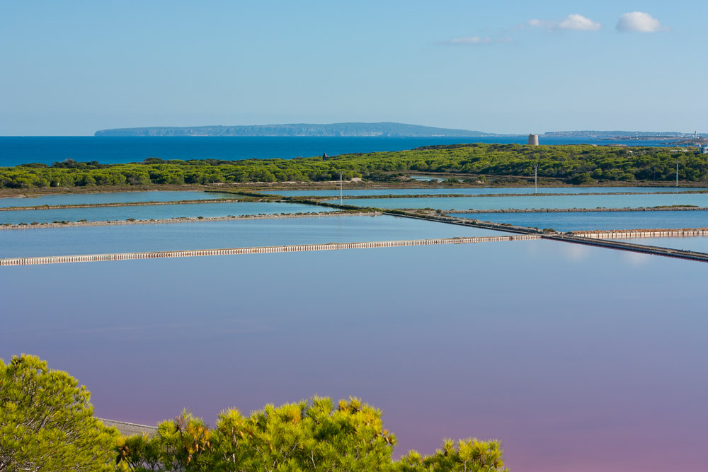
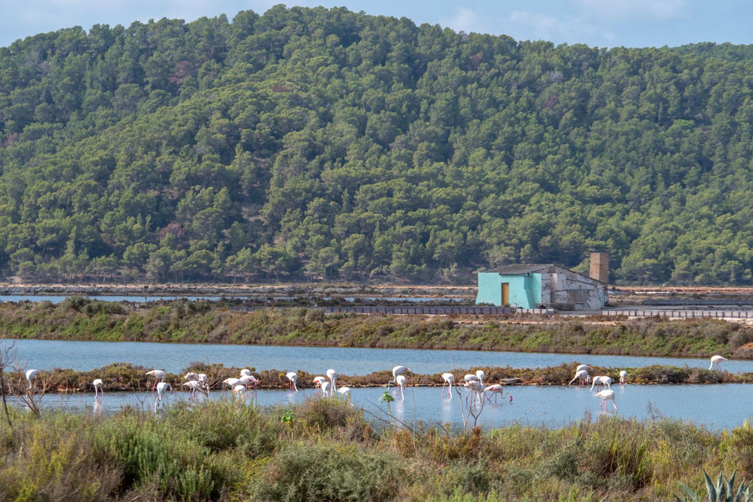
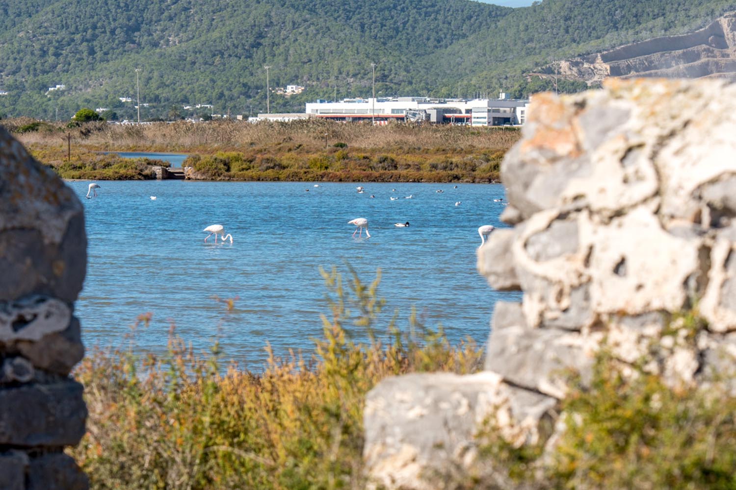
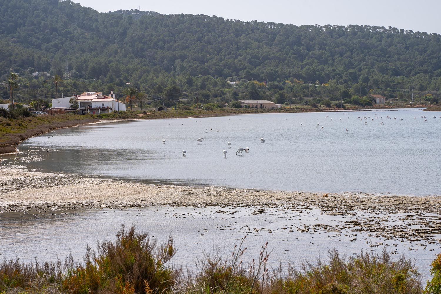
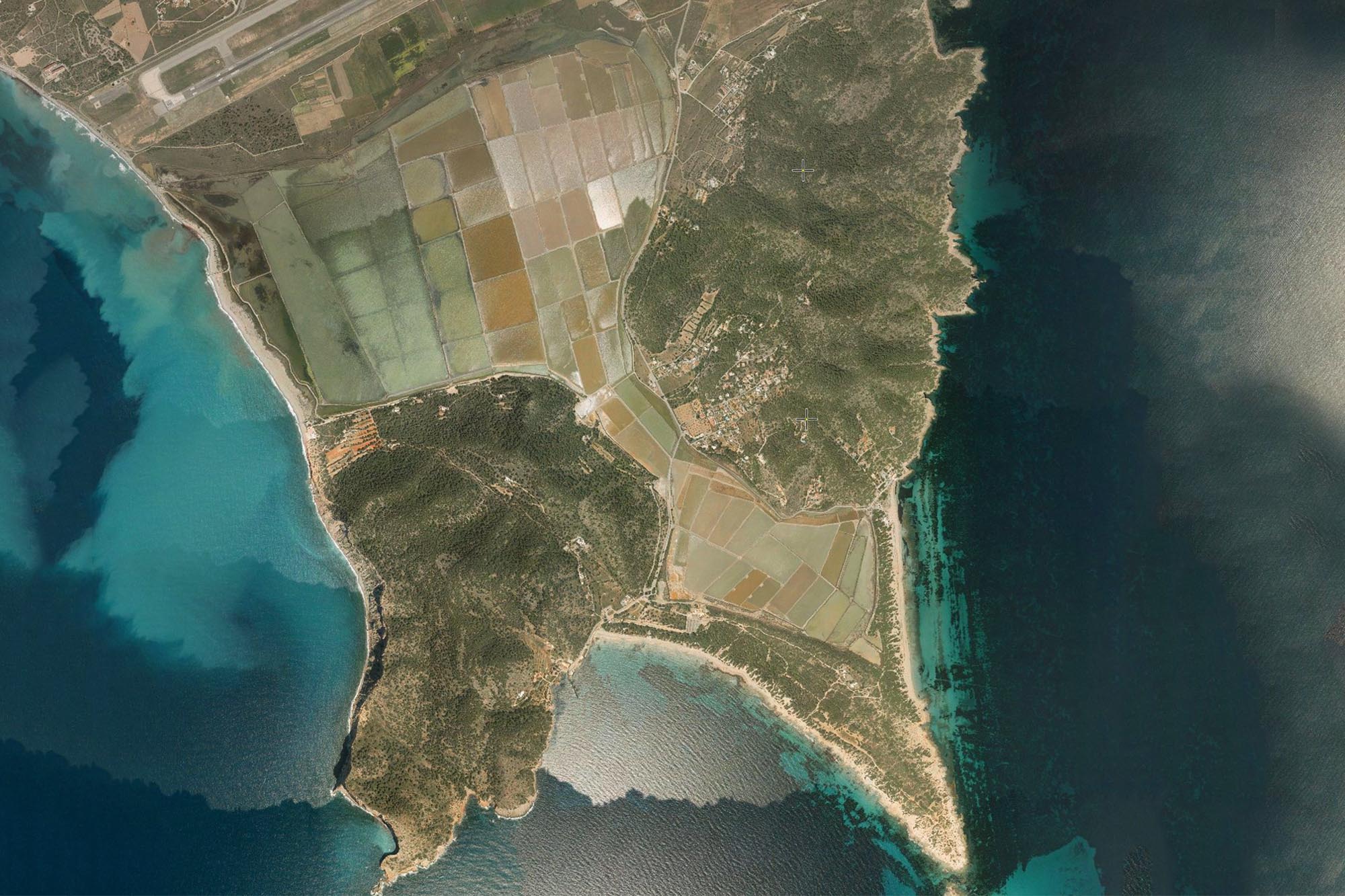
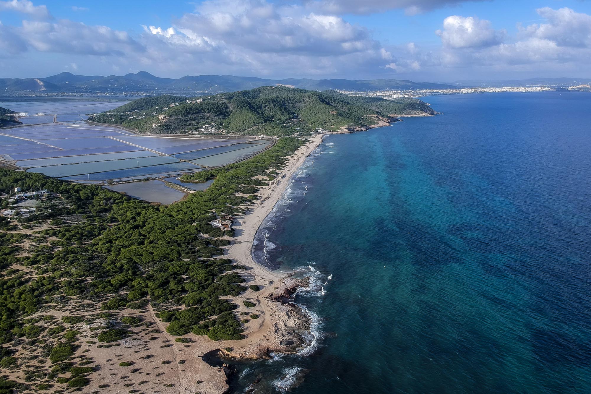
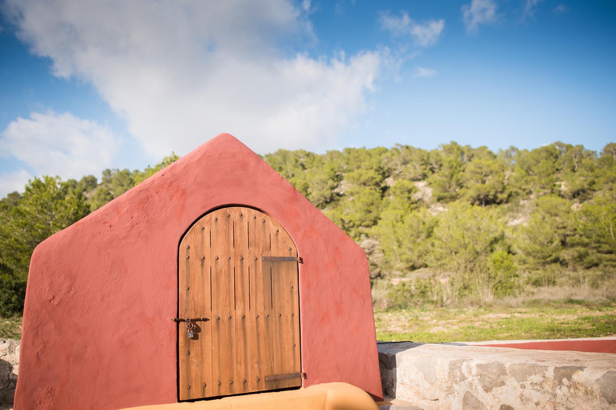
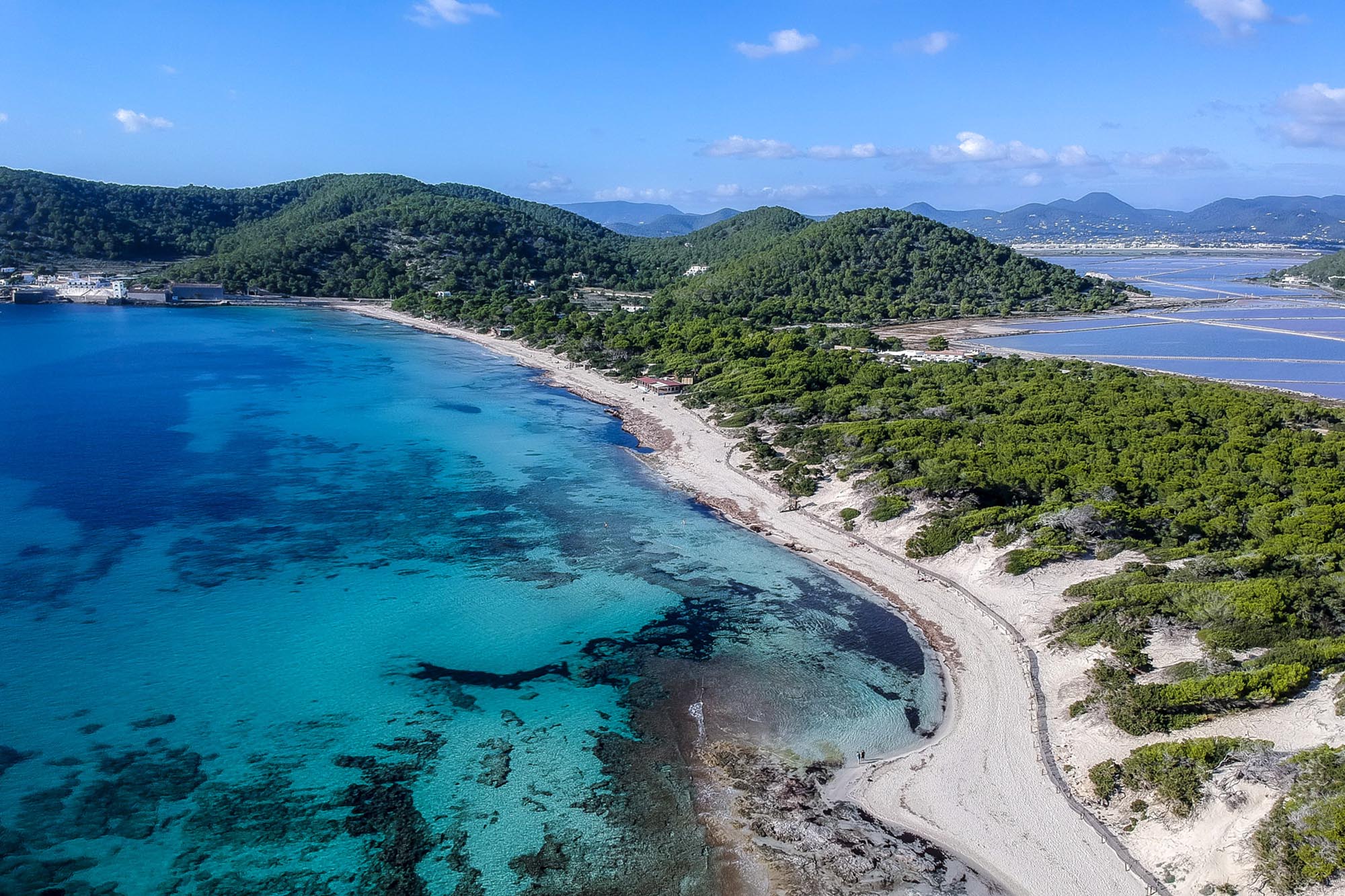
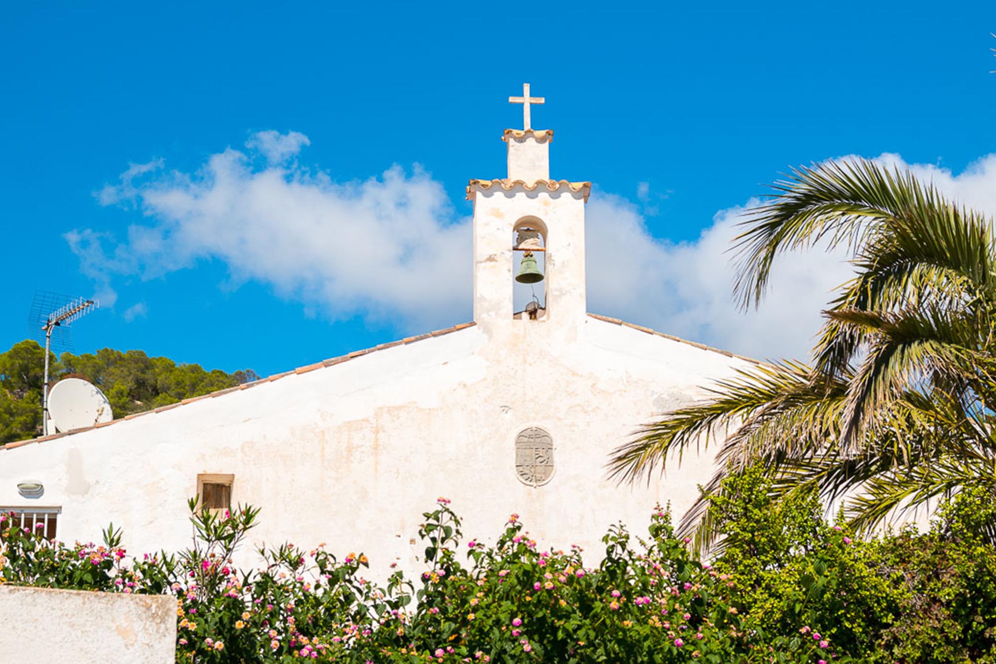
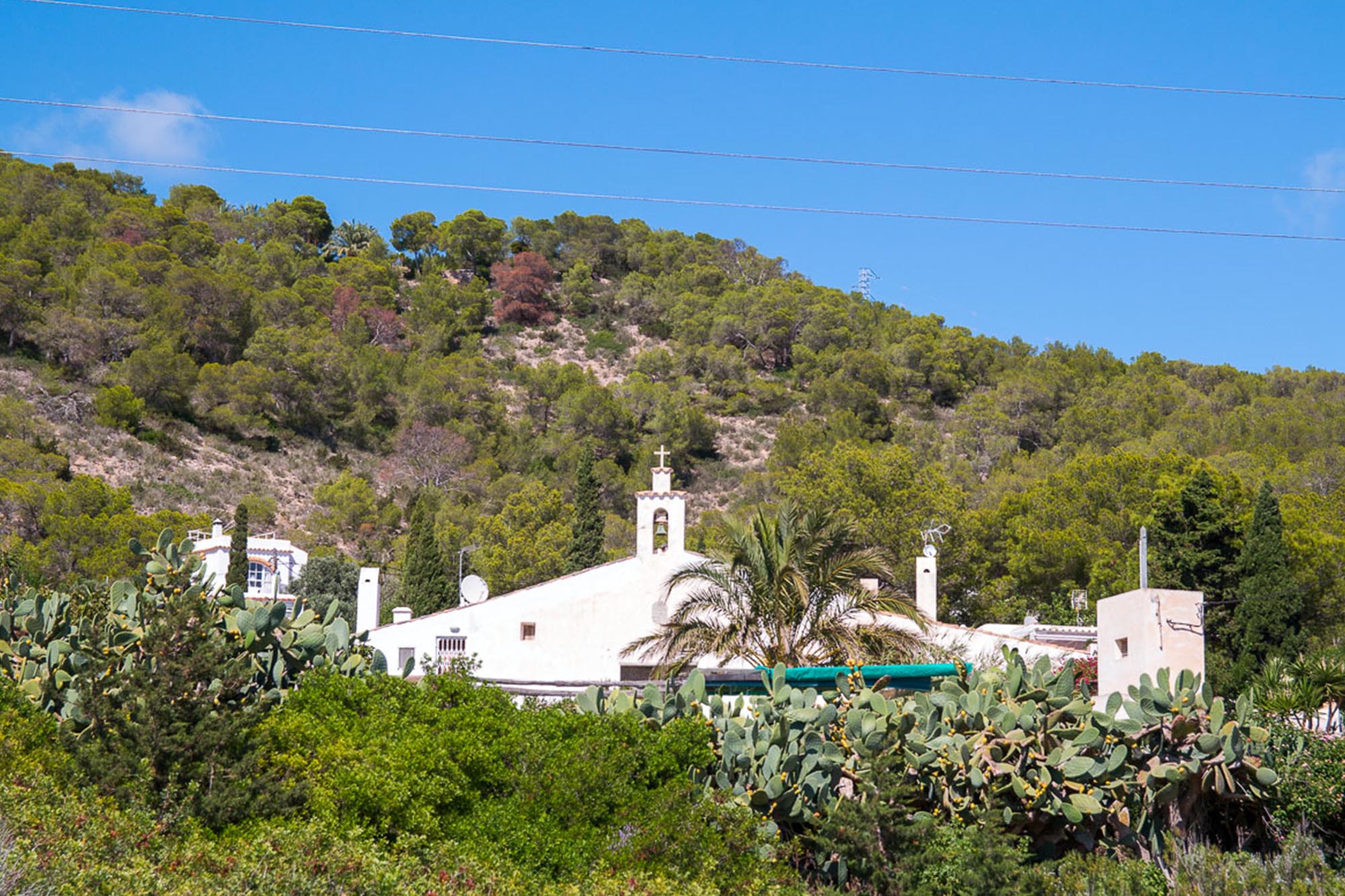
The second ascent takes us to Puig Gros, where we take a break and drink from the natural spring next to the path. When we get to the top, we come to the Capelleta d’en Serra, a pilgrim’s shrine built nearly 100 years ago by Vicent Serra to fulfil a promise. The shrine affords magnificent views over the Ses Salines Nature Park.
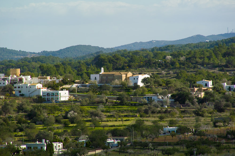
The last descent takes us to the Benimussa Valley, a delightful area dotted with farmhouses. Here we say goodbye to the mountains and welcome the sea air in the town of Sant Antoni.
Distancia total – 34,56 Km
Tiempo estimado – 3-4 horas
Ascenso total – 834
Descenso total – 858
Carretera – 35%
Pista – 40%
Camino – 25%
Dificultad técnica – Media
Dificultad física – Media
Dificultad global – ROJA
The paths are slippery if it has rained recently.
– At the highest point of the second ascent we can leave our bikes and continue on foot to the Capelleta d’en Serra shrine.
– Always wear your helmet.
ROUTE METER
1. Departure. We depart from Vara de Rey, in Eivissa, and head west along Ignacio Wallis Street. Further on, we turn left onto Isidor Macabich Street.
2. A fork to the right. When we come to the end of the street, we turn right at the fork. We turn left at the roundabout and head towards the hospital.
3. Left turn. We turn to the left just after the above-mentioned roundabout and go past the Ibiza cinema. At the end of the street we come to a school (Can Cantó), where we turn right and go up the street.
4. Roundabout, straight ahead. We come to a roundabout where we continue straight ahead along the road to the new cemetery. When we come to the next crossroads, we turn left.
5. Left turn, track. We come to a dirt road on the left and take it to enter the woods. Going downhill, we come to a fork in the road where we turn left. At the next crossroads, next to a huge pine tree, we turn right.
6. Right turn onto the road. We come to a road where we turn right. A bit further on, we come to a fork. We turn right onto a track and continue straight ahead.
7. A fork to the right. When we come to a fork, we go to the right and continue straight ahead along the main track for several kilometres.
8. Fork to the left. When we come to the next fork in the track, we continue uphill, to the left. At the next crossroads we go straight forward and head downhill to the main track.
9. Left turn onto the road. We come to a road where we turn left and continue uphill along it until we get to the top.
10. Right turn onto the track. On our way downhill again, we come to a crossroads with a sign pointing to La Casita Verde. We turn right onto the track. At the next two crossroads, we turn left.
11. Left turn onto the road. We come to a road and turn left. Immediately after, we turn left again along a track which we follow straight ahead.
12. Left turn onto the road. We come to a road where we turn left. At the next crossroads we turn right onto a track which we follow until we come to a road.
13. Right turn onto the road. We go downhill until we come to a road and then we continue downhill for 2 Km.
14. Right turn onto the track. At this point, we turn right onto a track through the woods. We pass by a natural spring.
15. Left turn onto the path. We come to a crossroads where we turn left to follow a path uphill. At the next crossroads, we continue along the main path to the right.
16. Right turn onto the track. When we arrive at the top of the hill, we take a right turn and go downhill without leaving the main track. This is where we come to the refreshment point.
17. Left turn onto the road. At this crossroads we take the road to the right, heading for Sant Josep. We turn to the right at the next crossroads.
18. Right turn. Before we arrive at Sant Josep, we turn right and go past the cemetery. We turn right at the third crossroads to enter the woods.
19. Crossroads, straight ahead. We come to a crossroads where we go straight ahead along a downhill dirt track.
20. Crossroads, straight ahead. We come to a path next to a house and continue straight ahead for a while.
21. Right turn onto the path. We come to a crossroads next to a power house, where we turn to the right. A bit further on, we come to a crossroads where we turn left along a downhill path.
22. A fork to the right. We come to a fork in the road and turn to the right. At the next crossroads, we take the main path to the left until we come to another fork, where we turn to the left.
23. Left path. We turn left onto a path that takes us to a road, where we turn to the right.
24. Right turn onto the track. We come to the road and turn right onto a track. Further on, next to a house, we turn left at a fork. We turn right at the next fork.
25. Left turn onto the road. We come to a road where we turn left to go downhill. We continue along the road until we come to a crossroads after about 200 meters, where we turn to the right.
26. Left turn, track. We turn left next to a house and follow a track downhill, heading for Sant Antoni.
27. Crossroads, road straight ahead. At this crossroads, and at the next three roundabouts, we continue straight ahead in the direction of Sant Antoni.
28. End of the itinerary. We end our route at the main roundabout in Sant Antoni, next to the seafront promenade.


