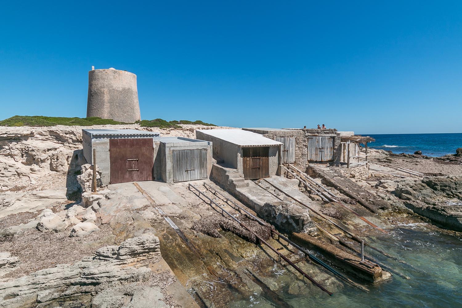
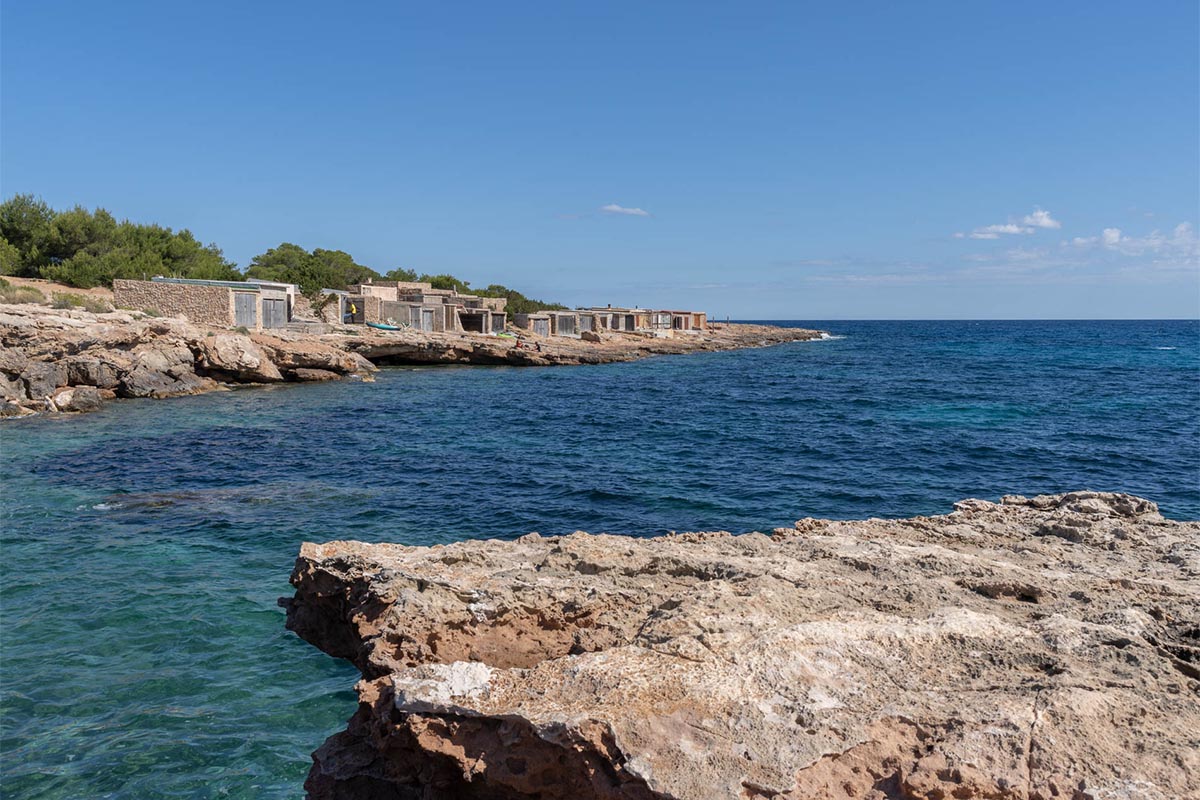
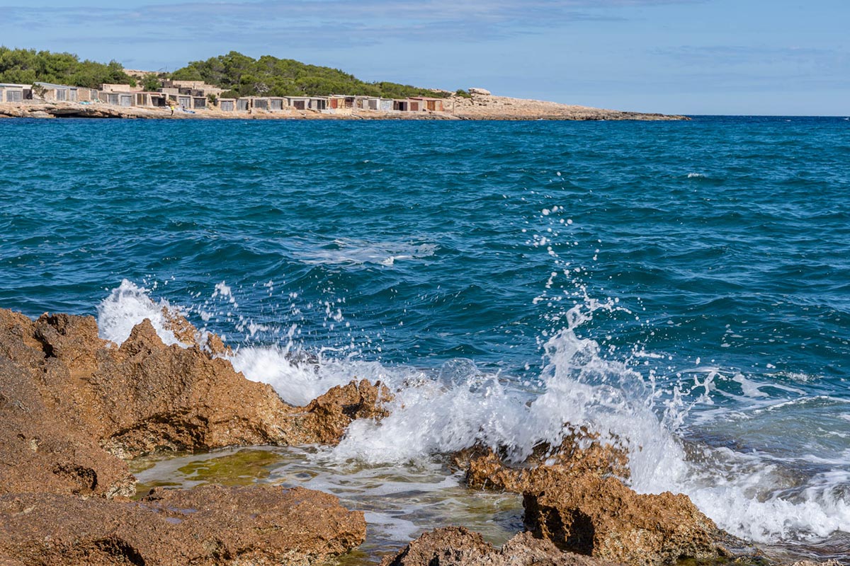
Port des Torrent (Sant Josep) – Ibiza
Mountain Bike routes
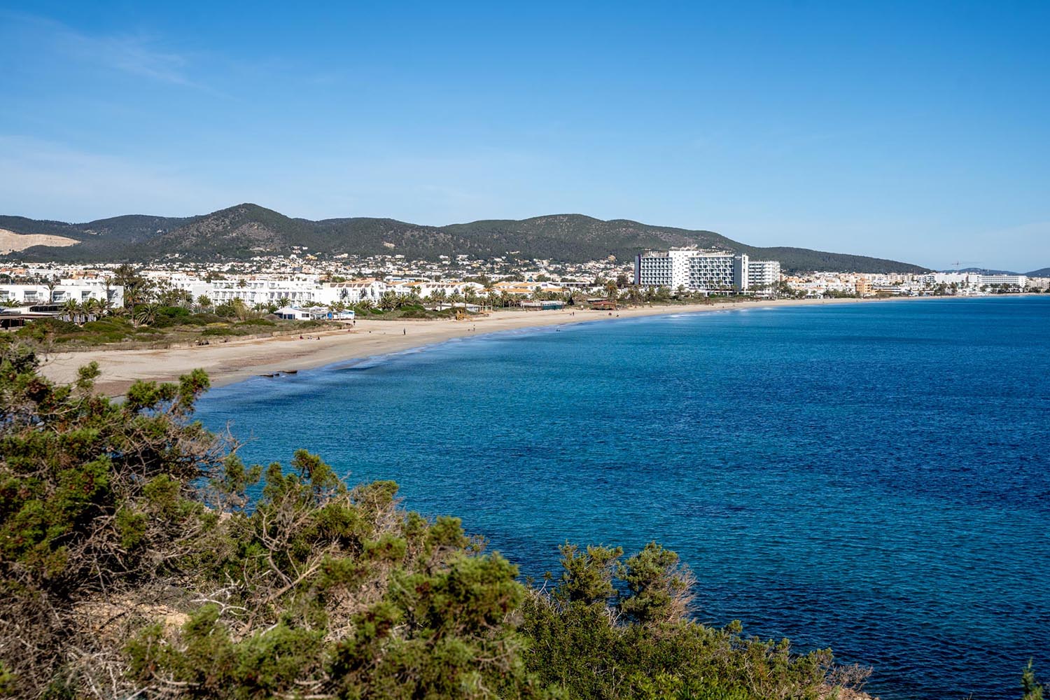
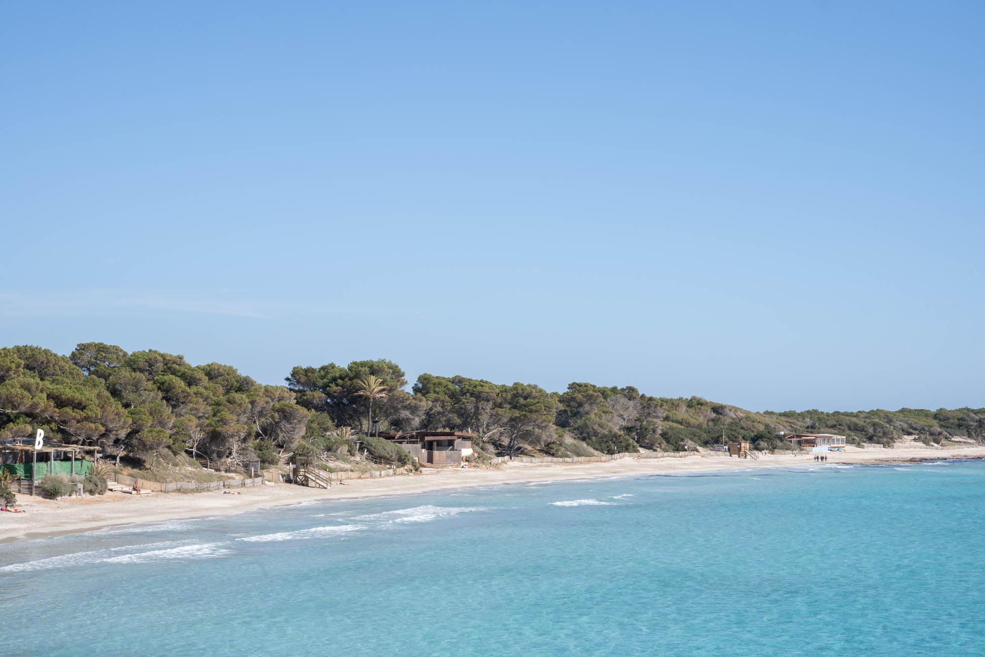
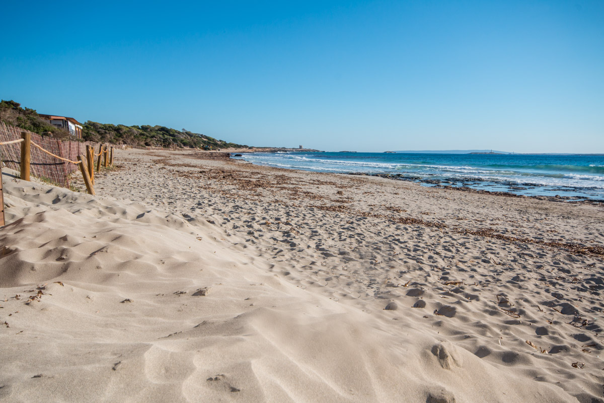
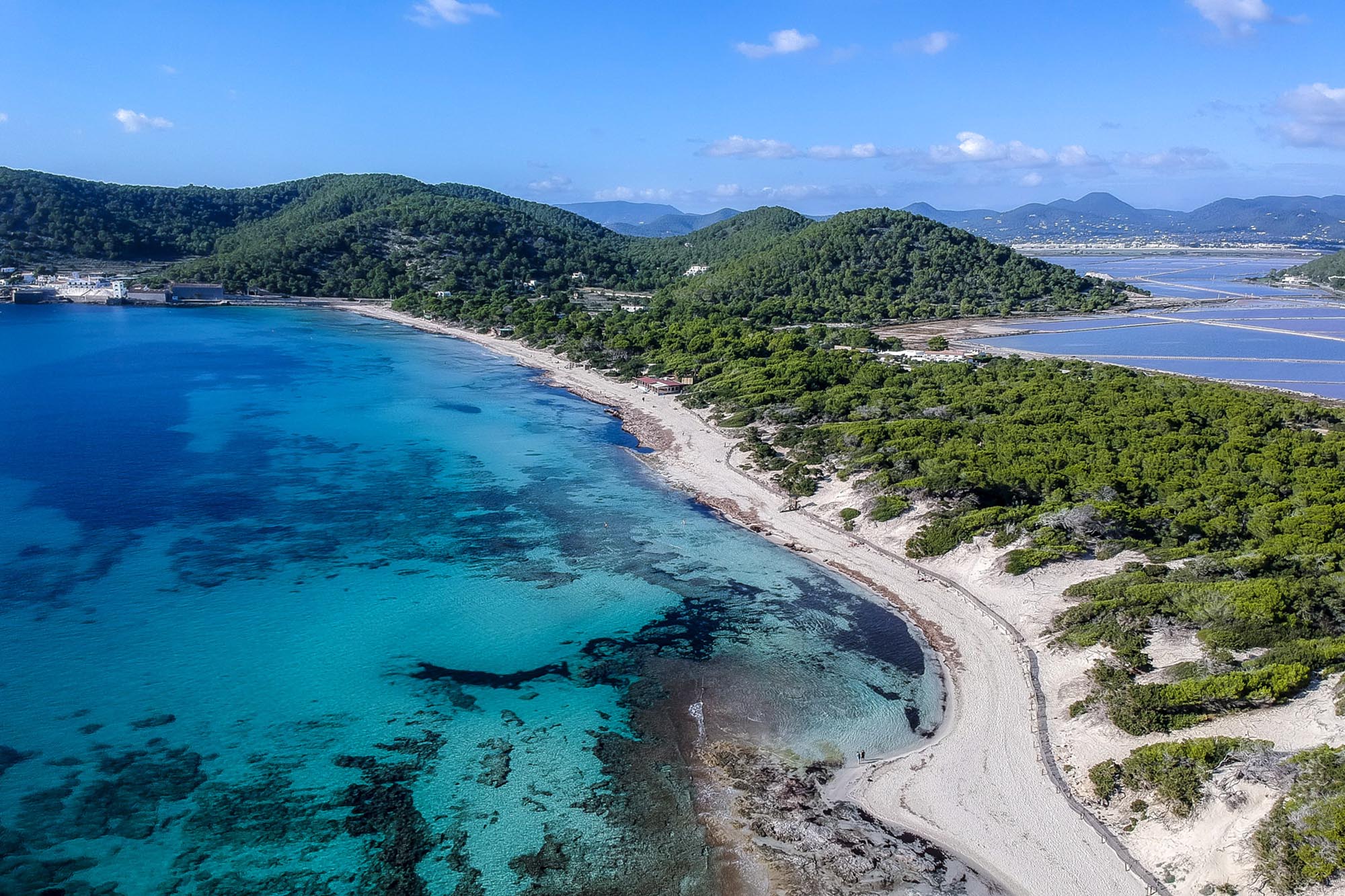
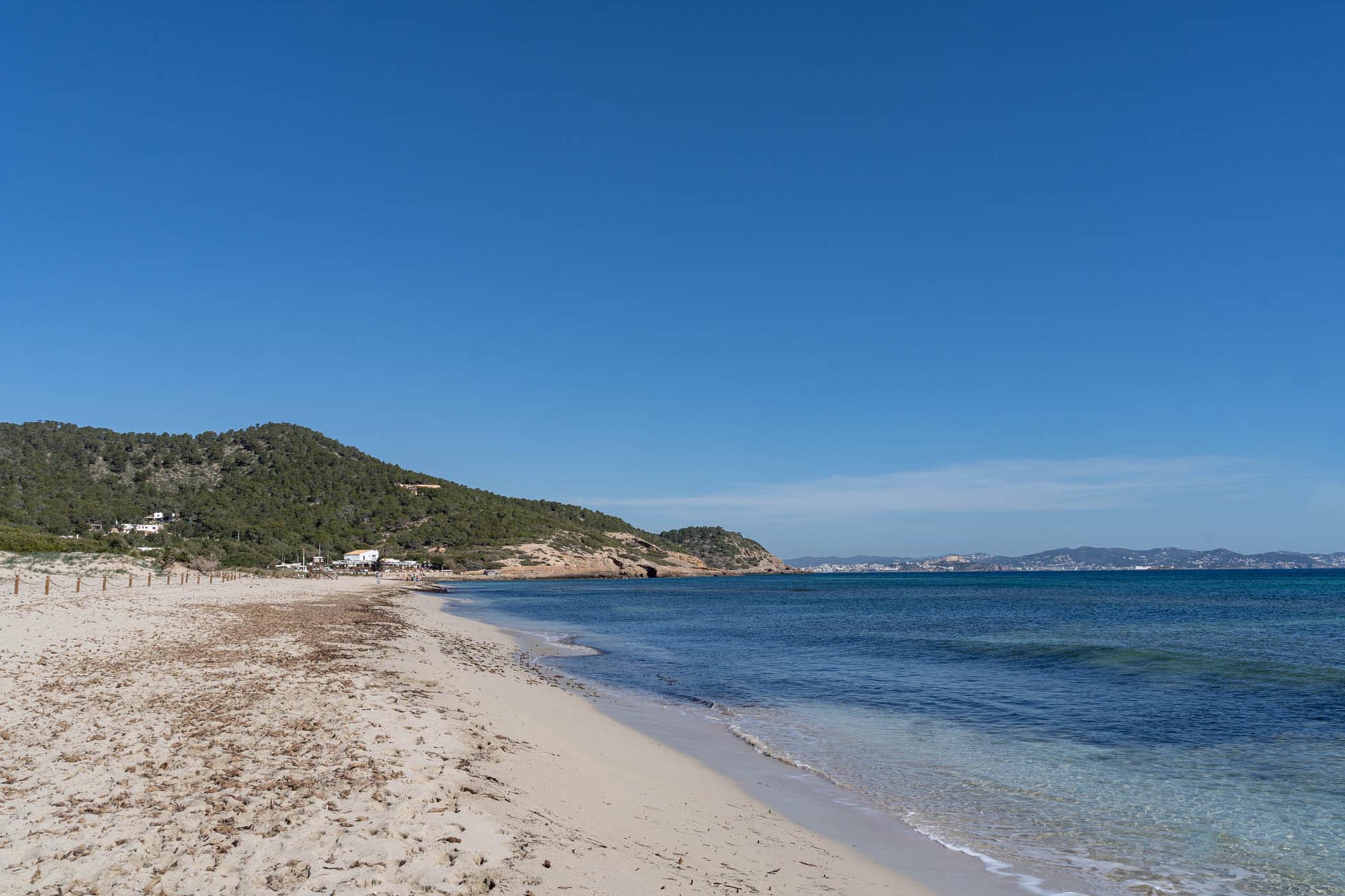
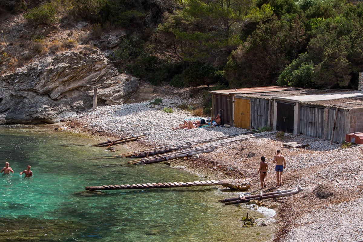
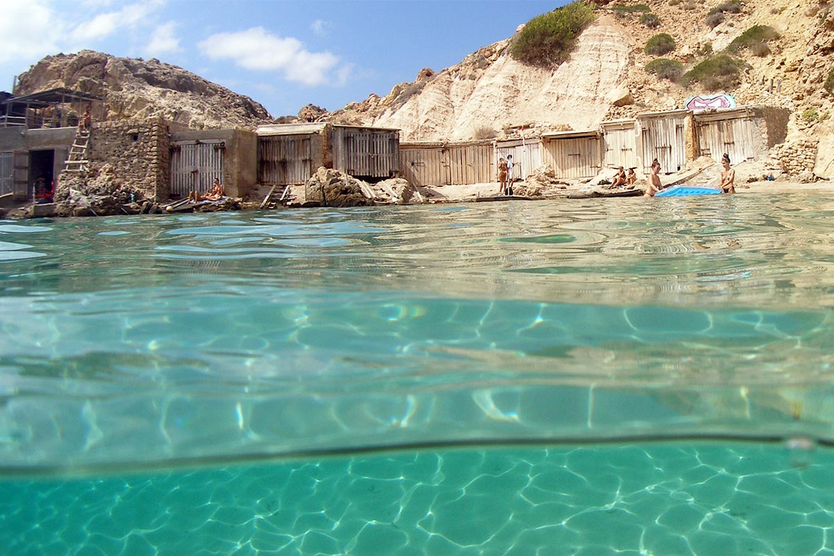
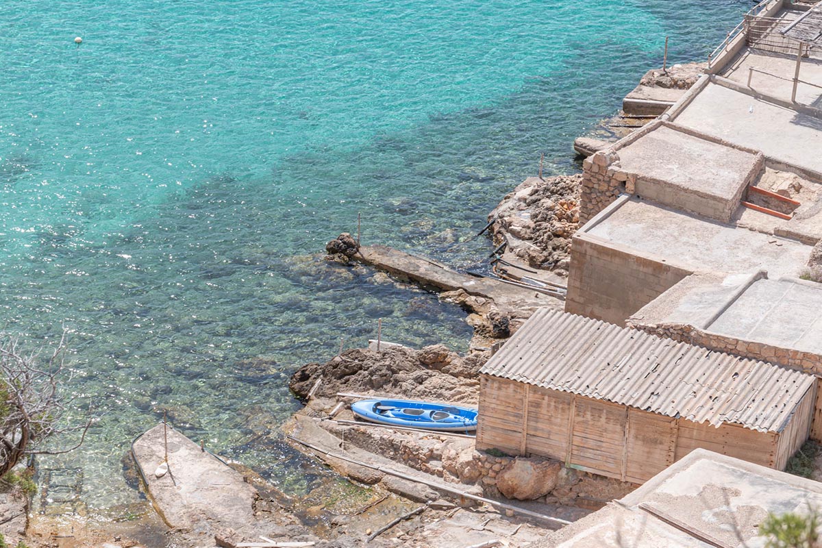
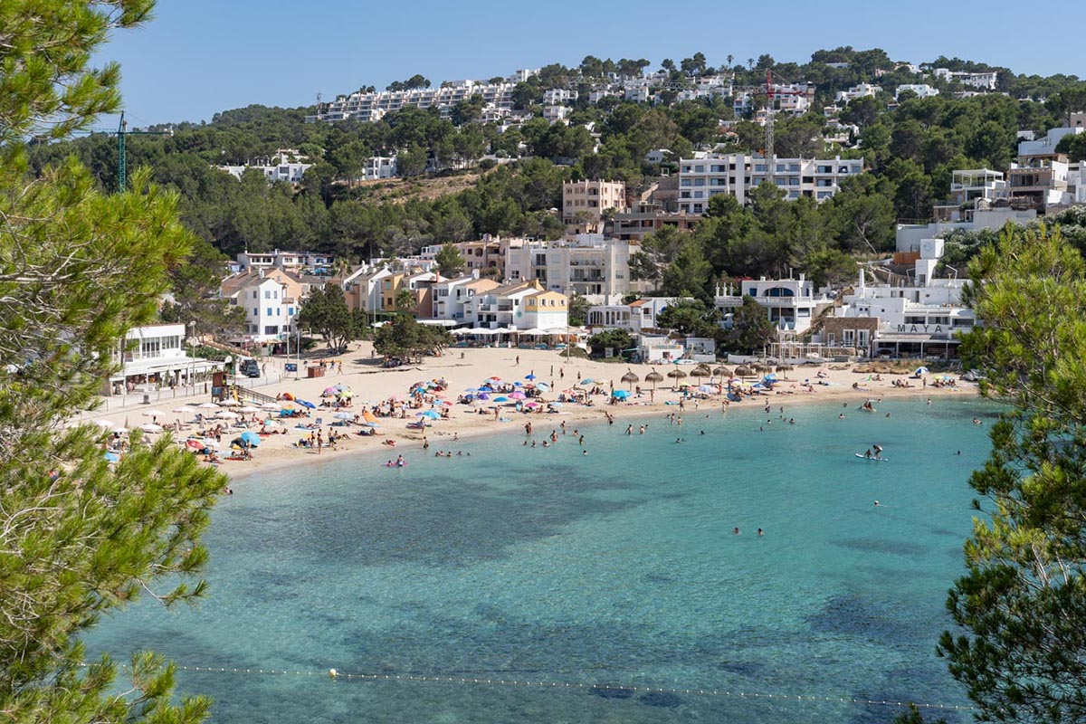
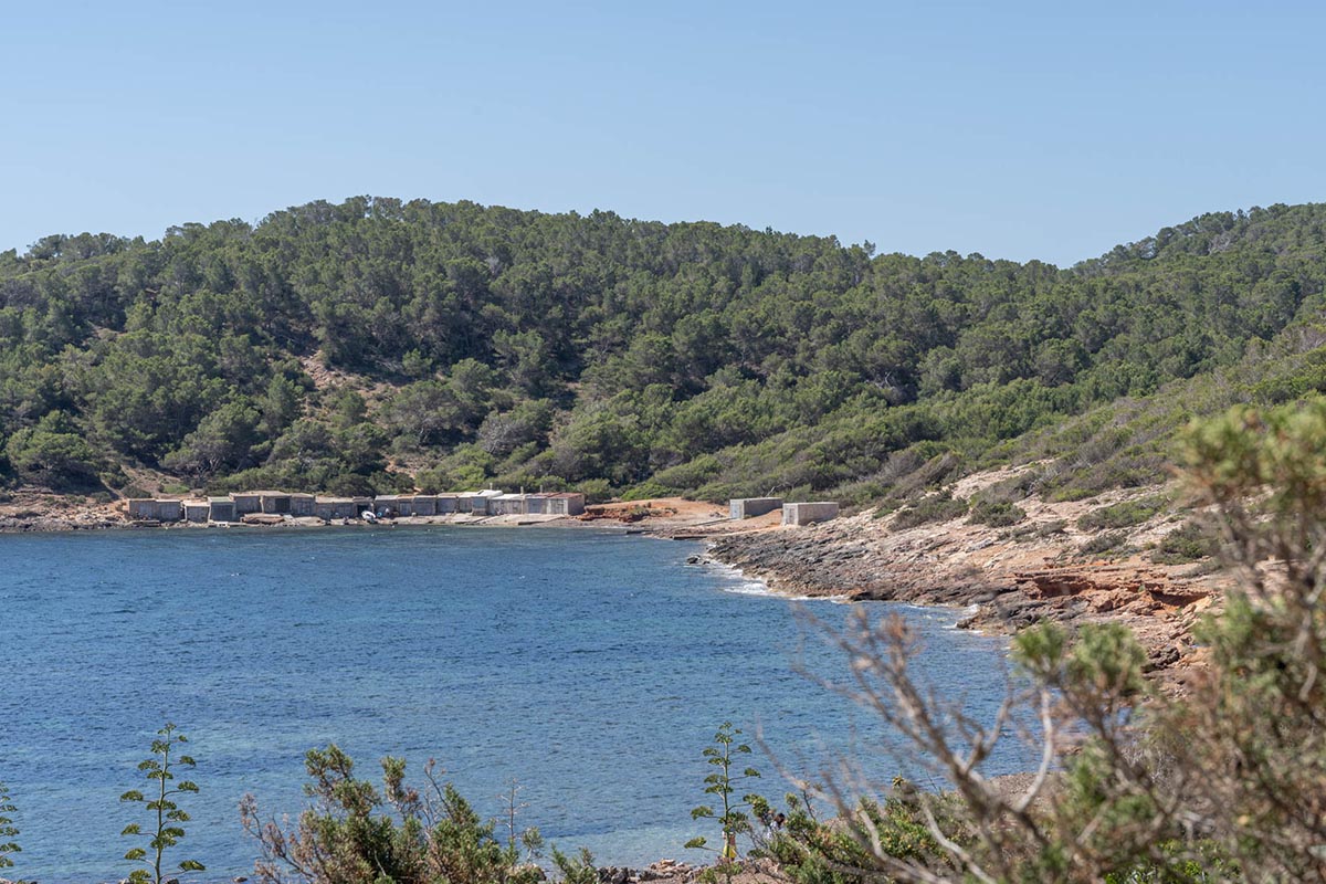
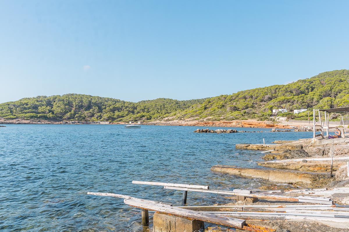
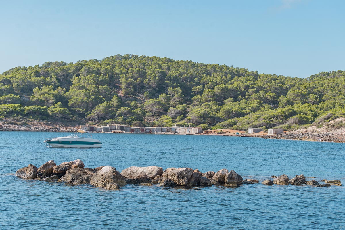
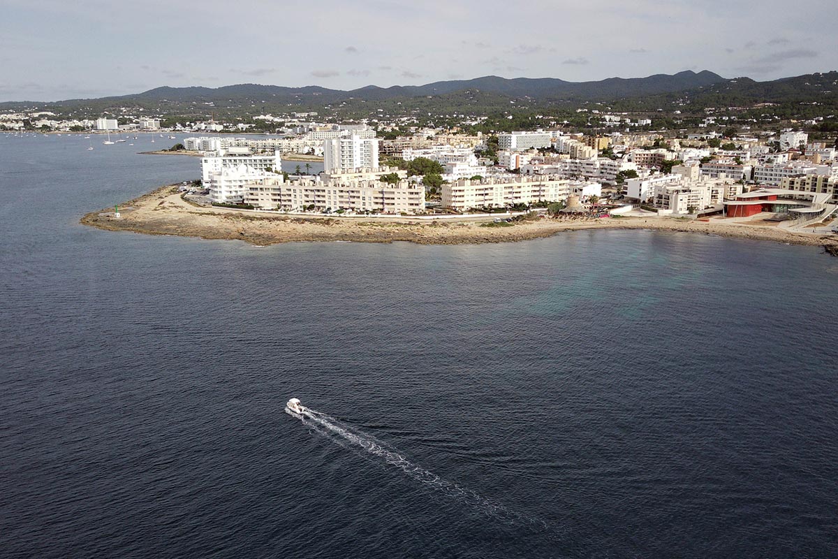
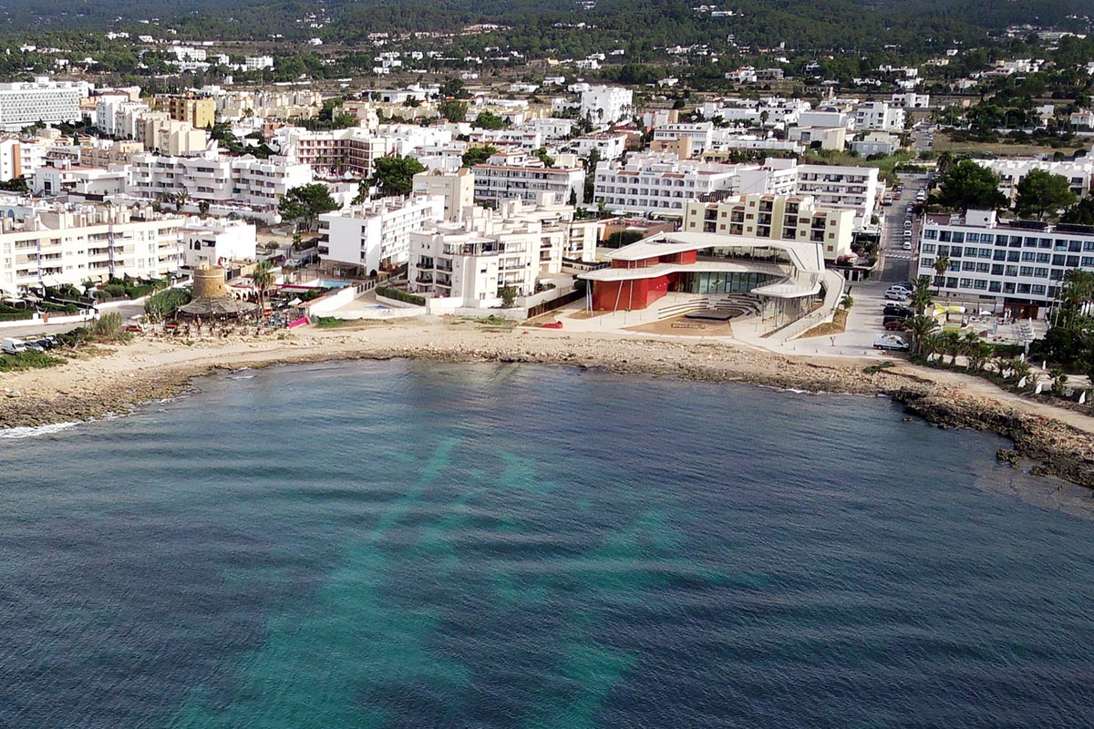
Our return trip begins in Sant Antoni, next to Port des Torrent beach, which gives name to this route. Setting off from the display panel, we take Conca Street upwards; a few metres later, we leave the asphalt and take a dirt road to our right.
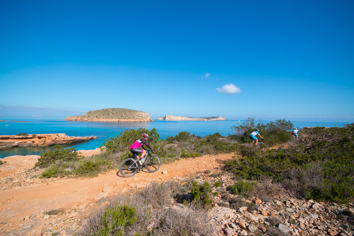
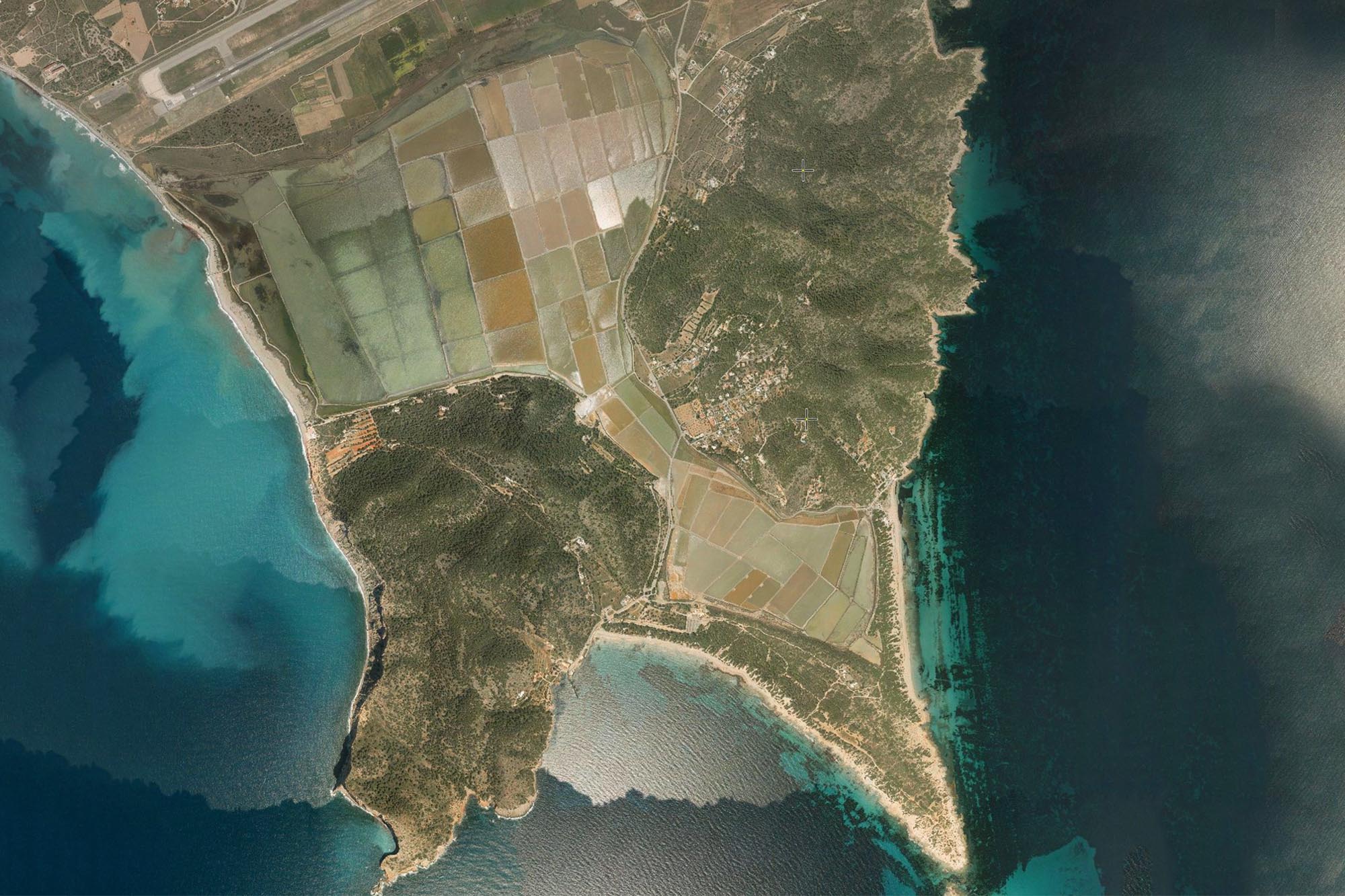
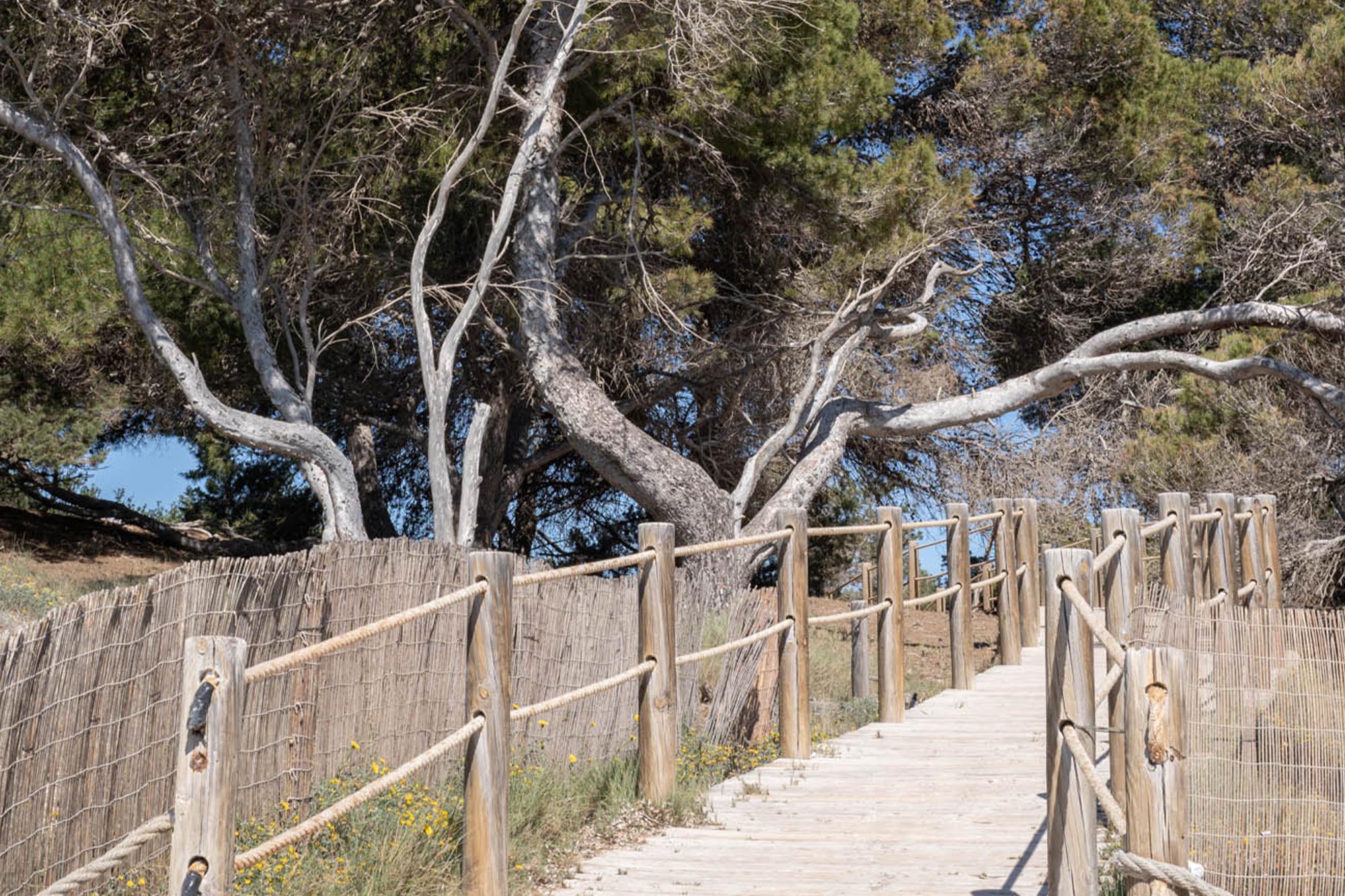
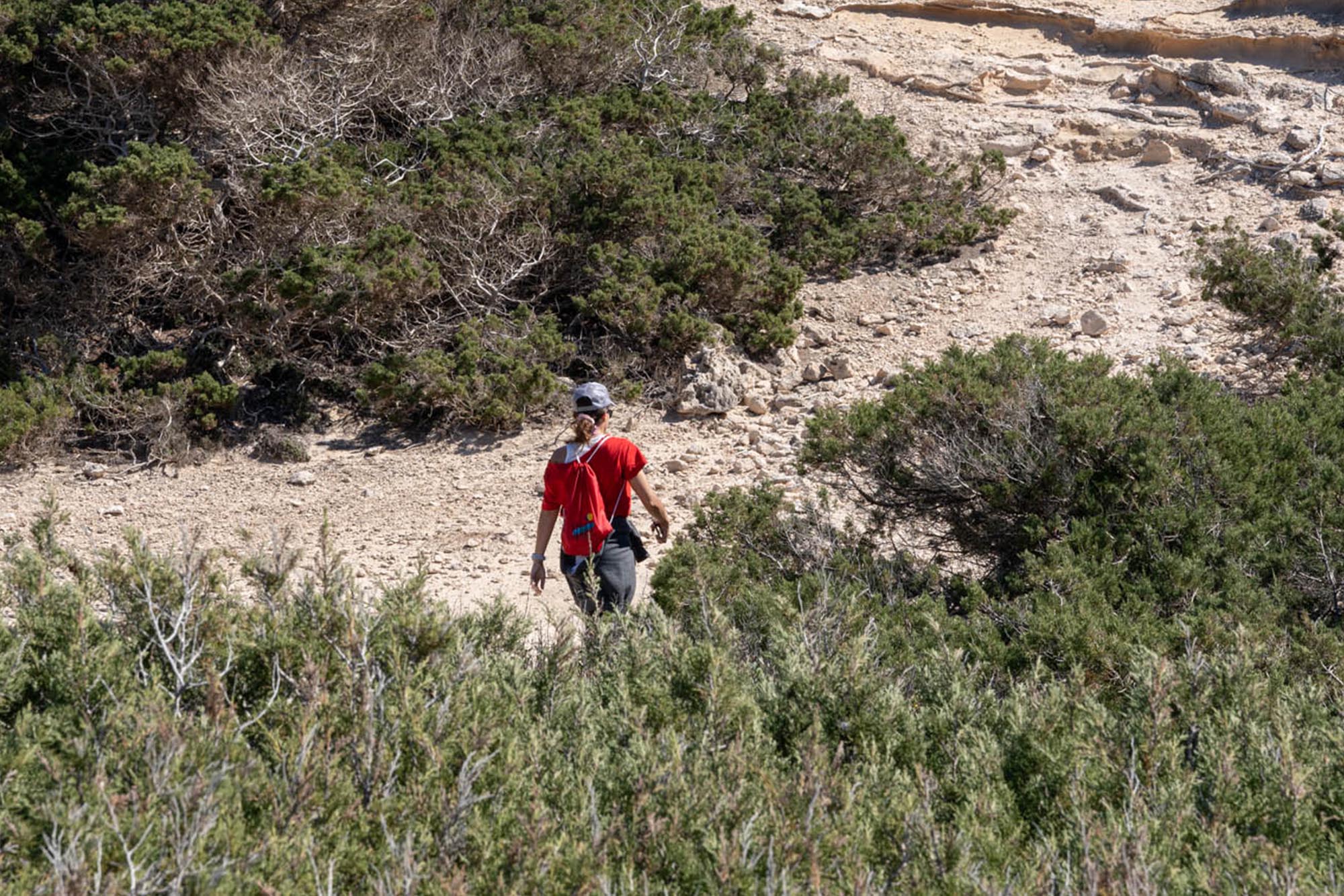
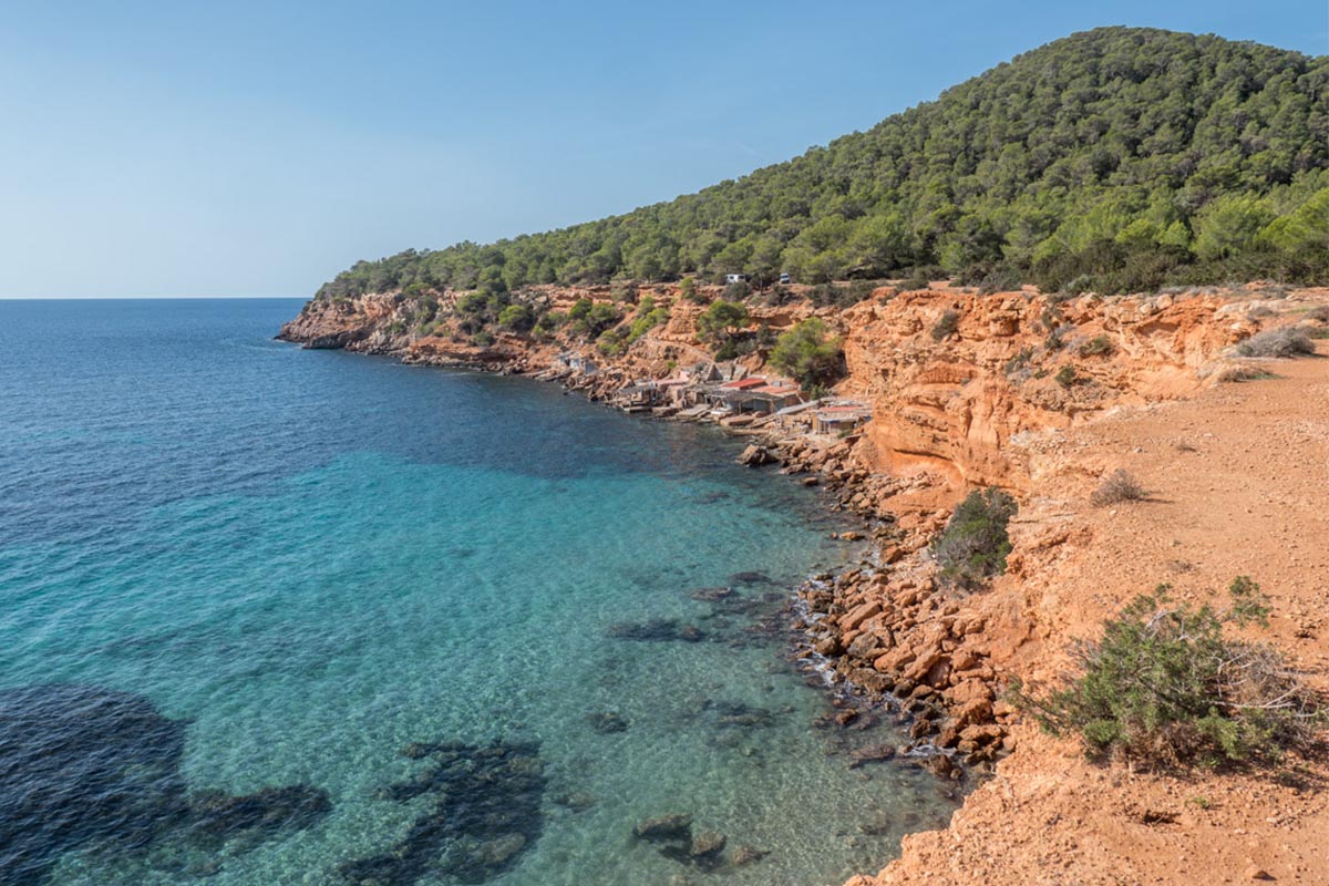
This is an undemanding route, perfect for initiating an exploration of the island pedalling on two wheels. It will take us among pine forests, through lovely little roads and over rocky ground to impressive scenery of cliffs and islets. The route is lineal: we go and return the same way, except for a small loop in the final section, which permits us to explore another possible combination of roads.
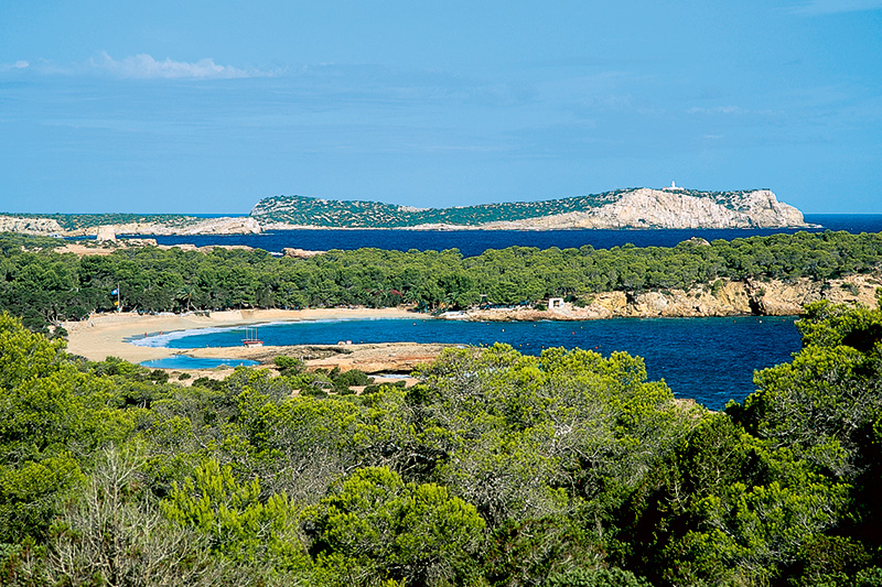
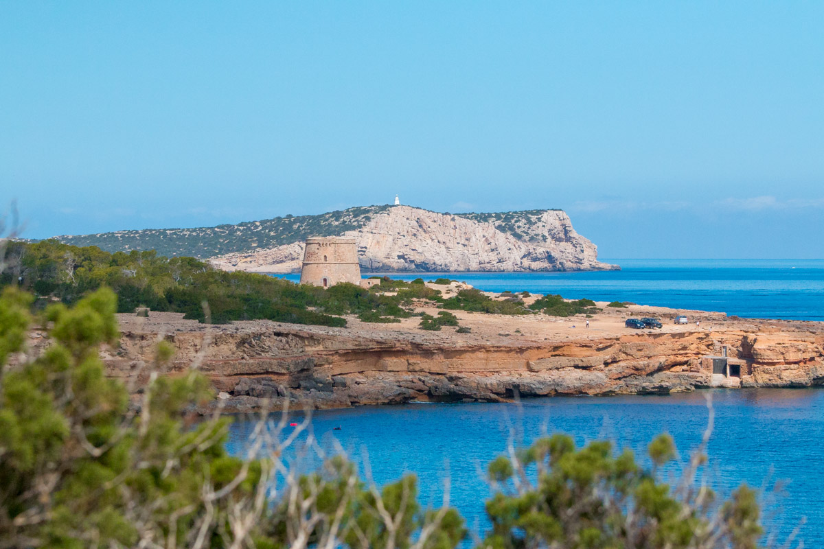
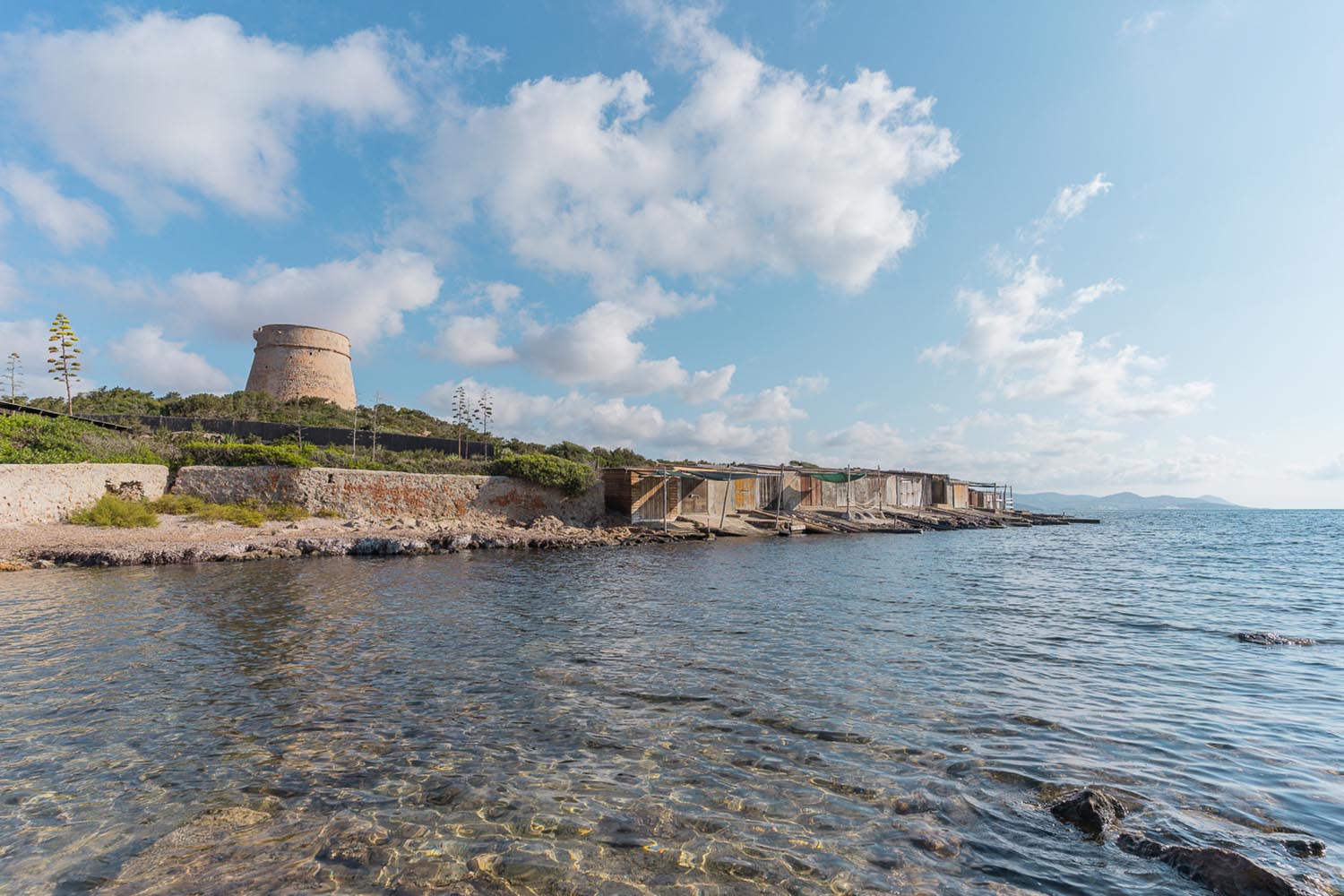
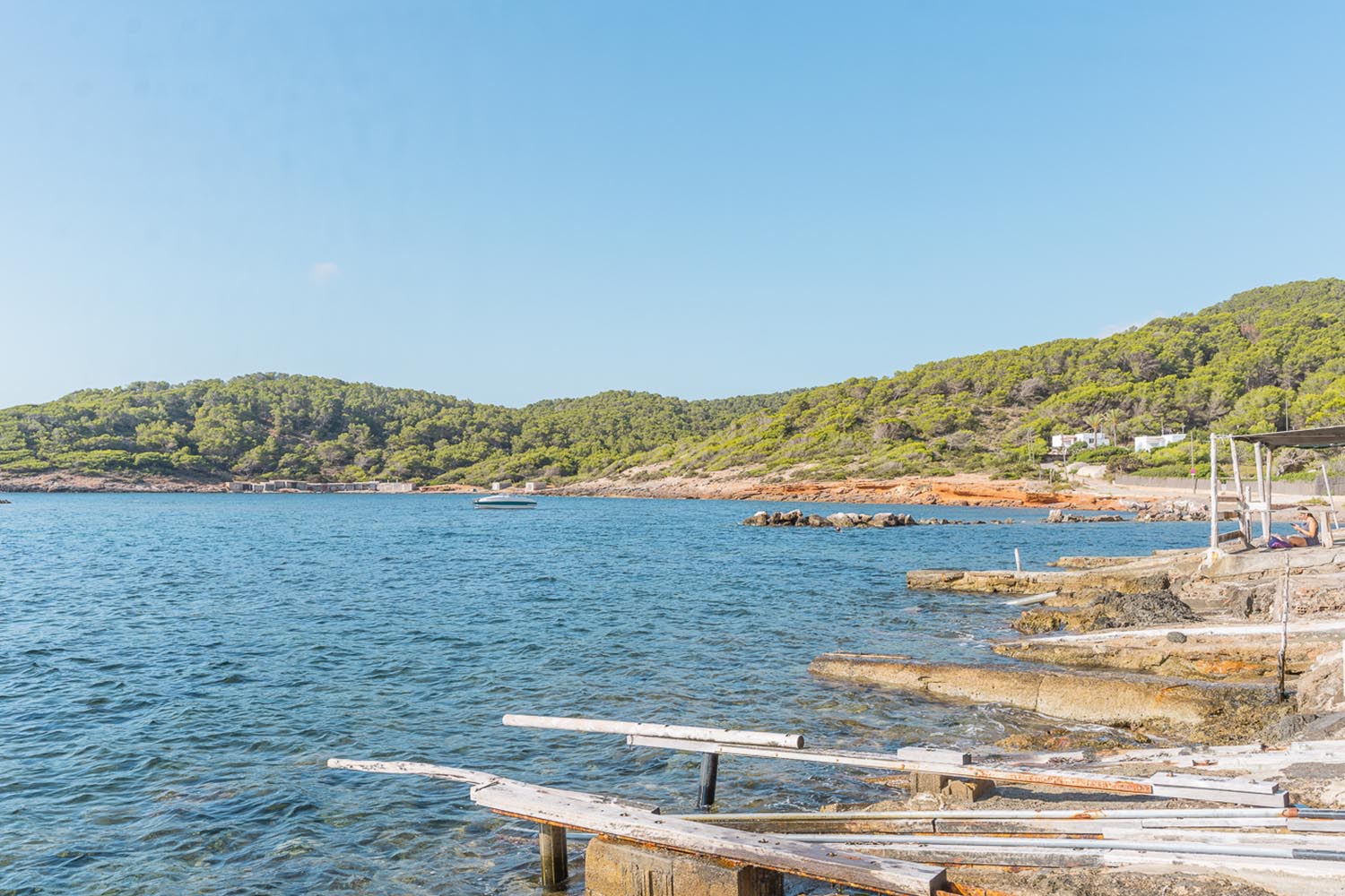
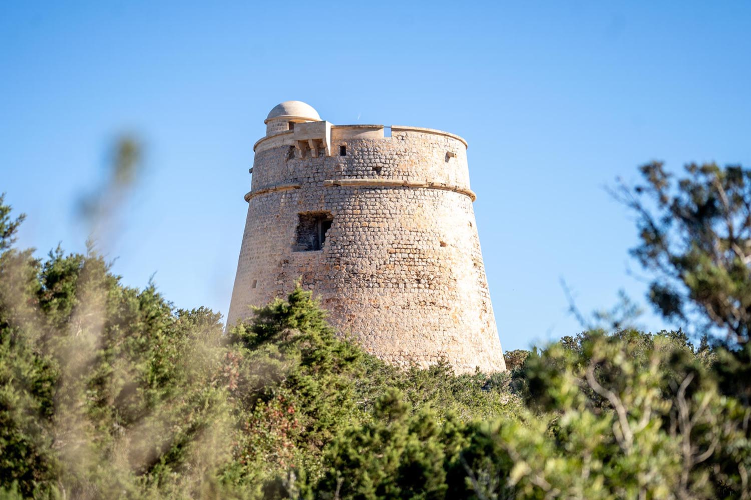
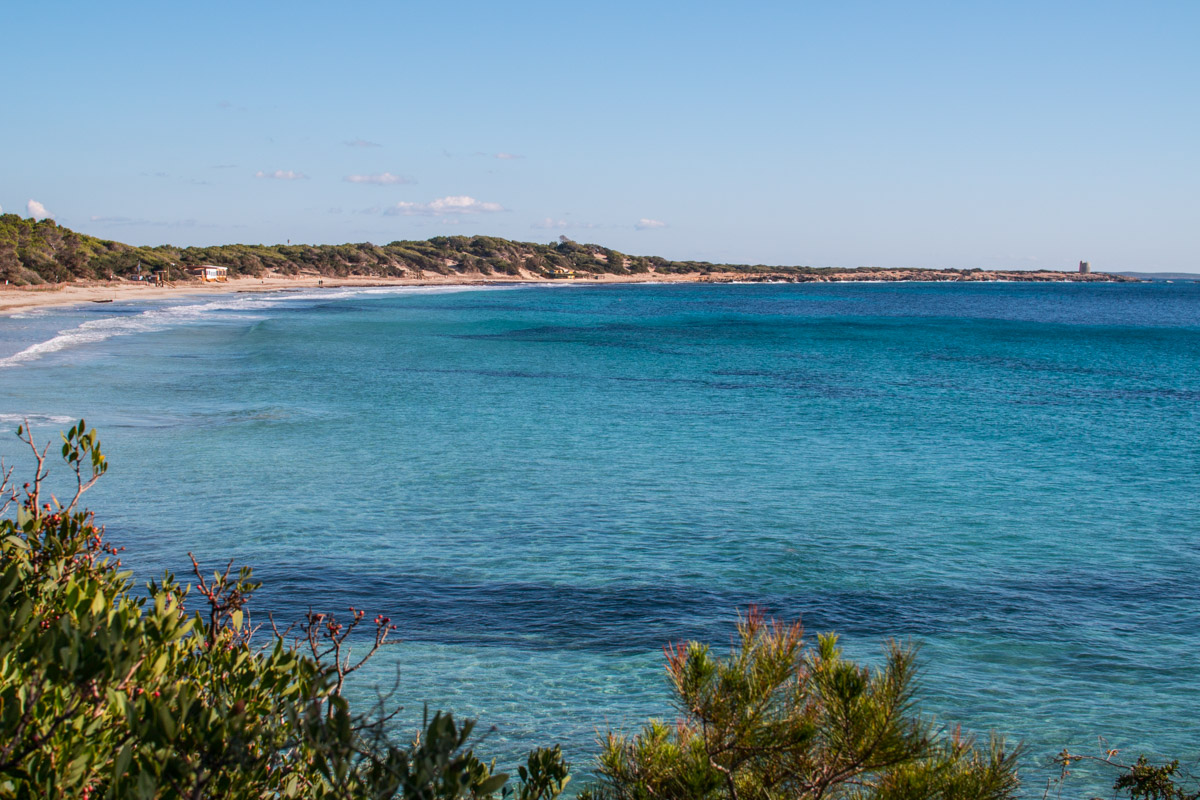
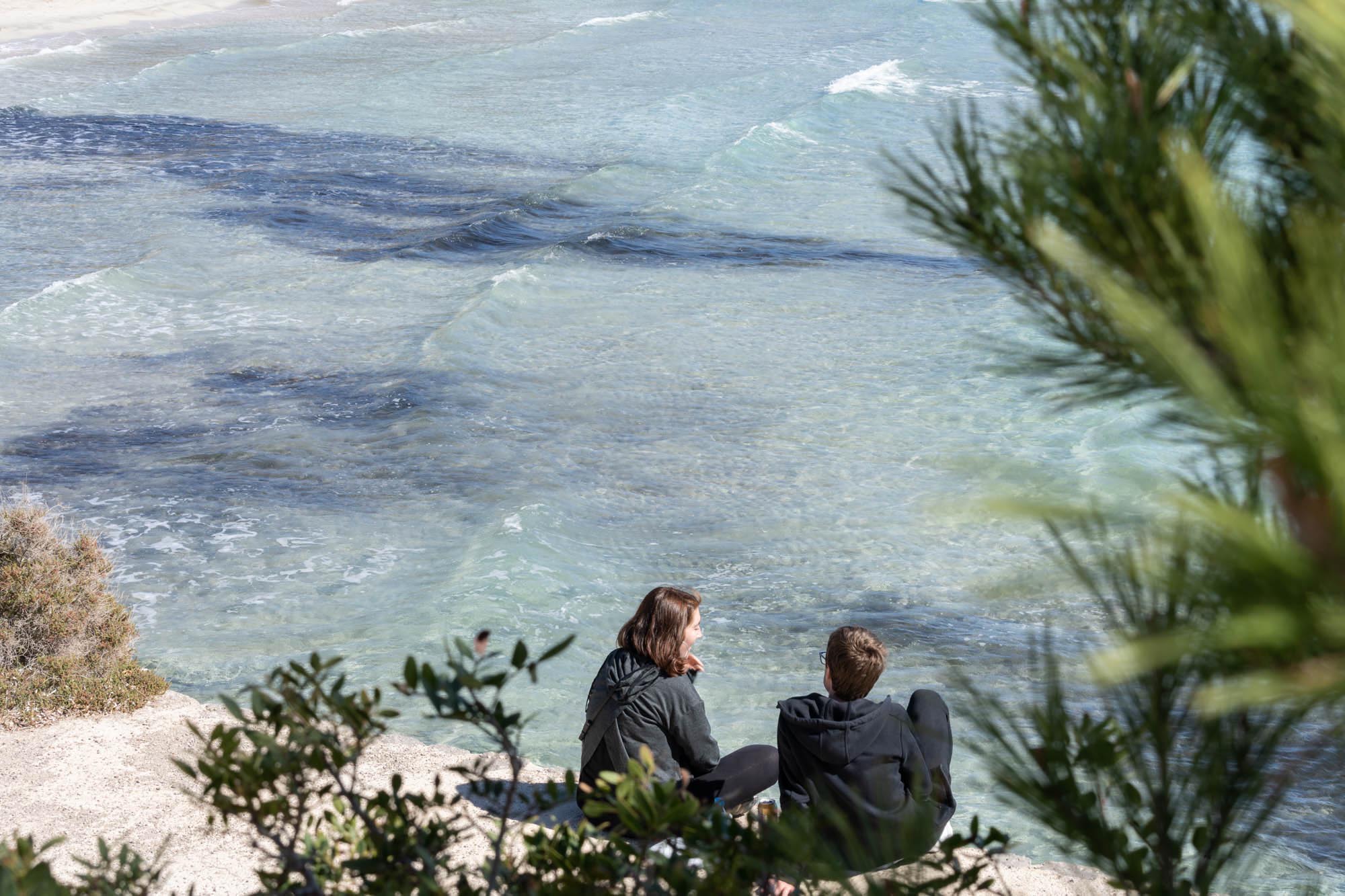
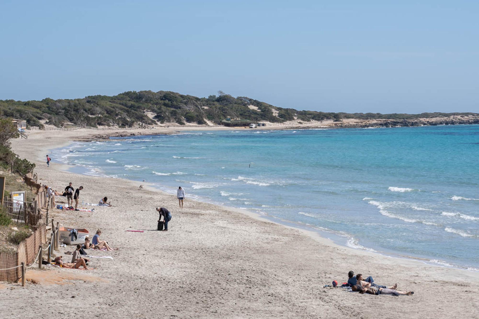
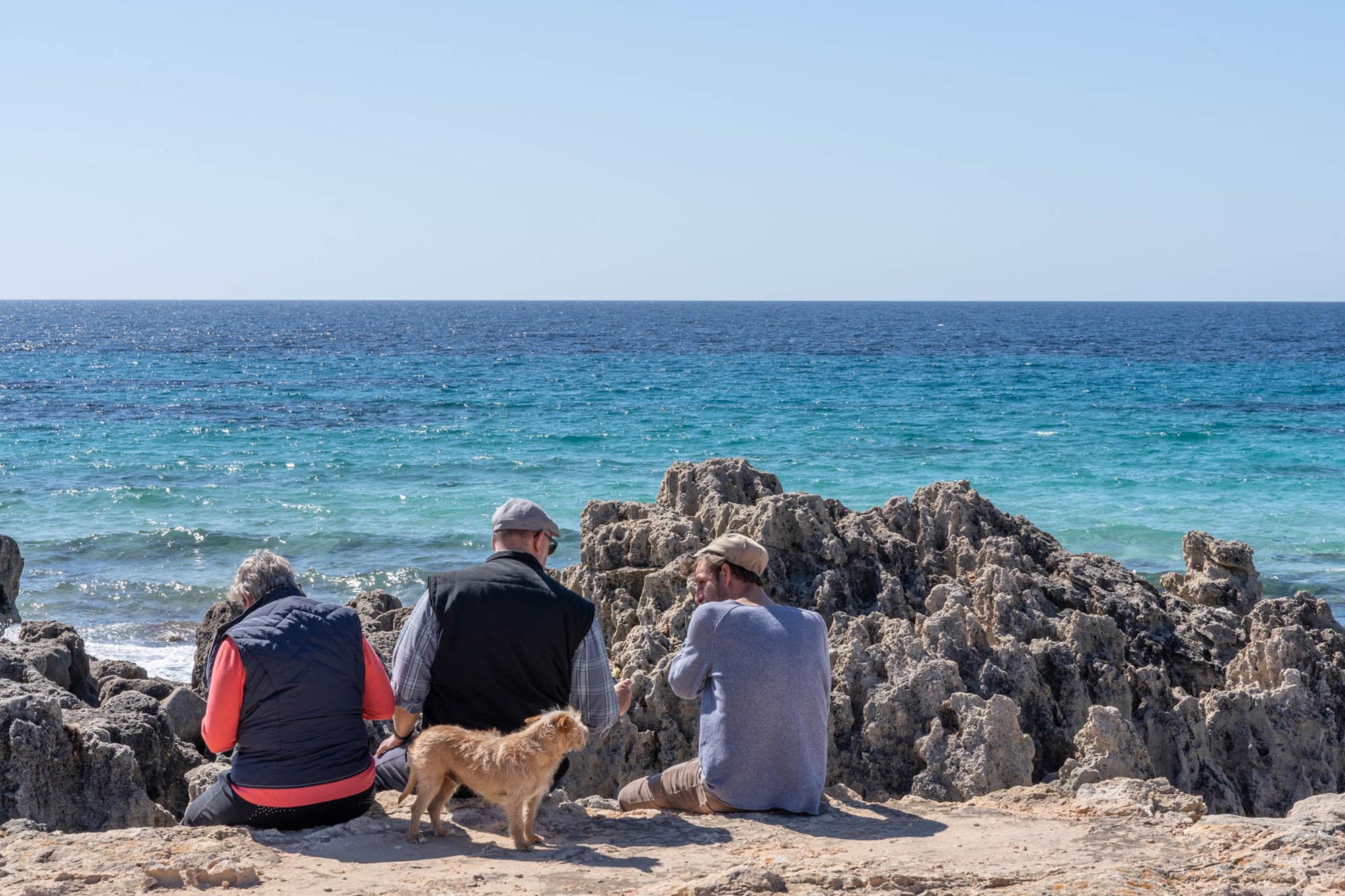
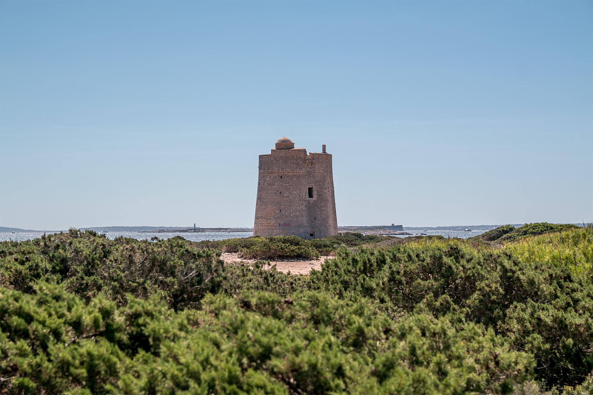
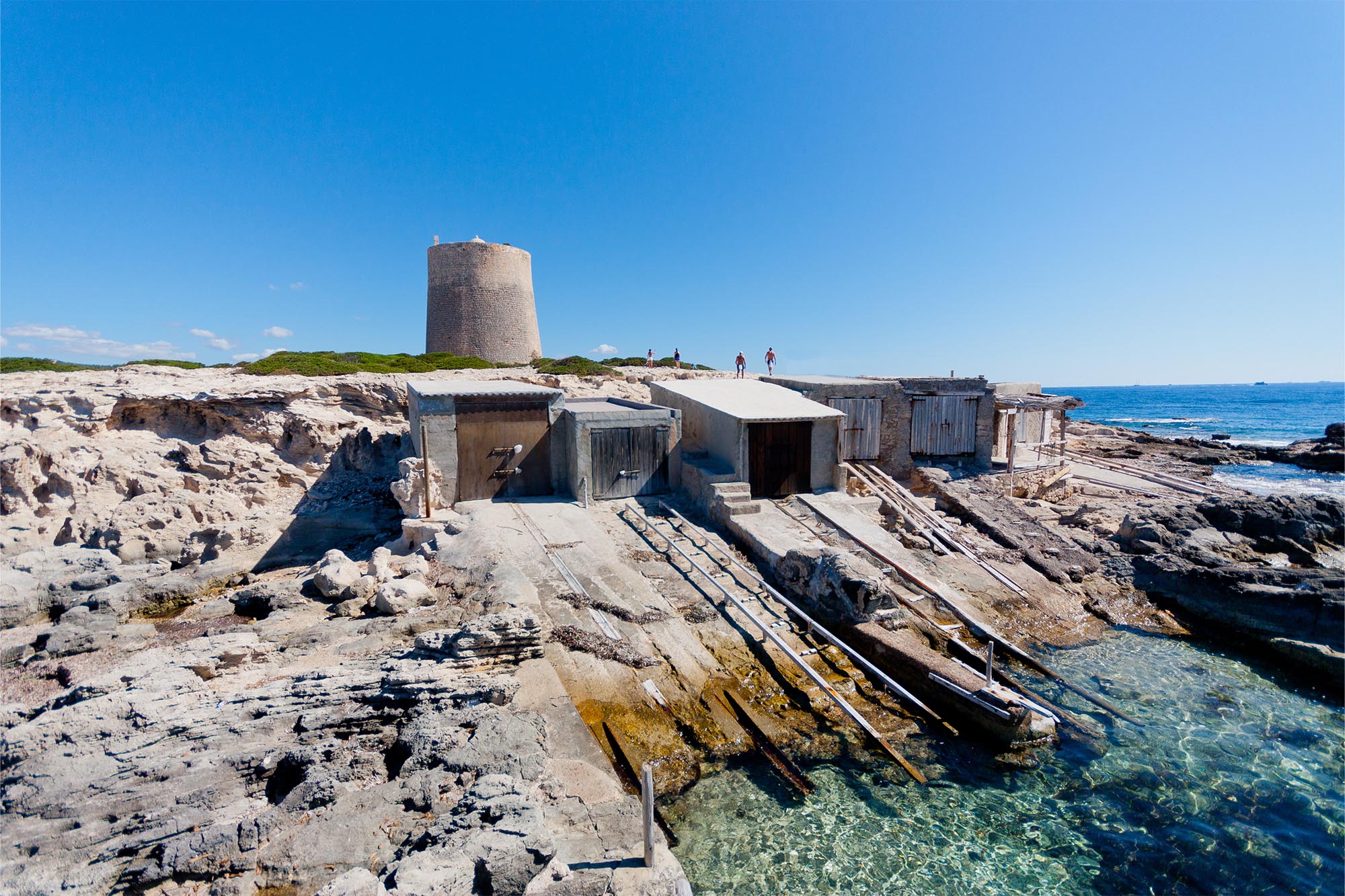
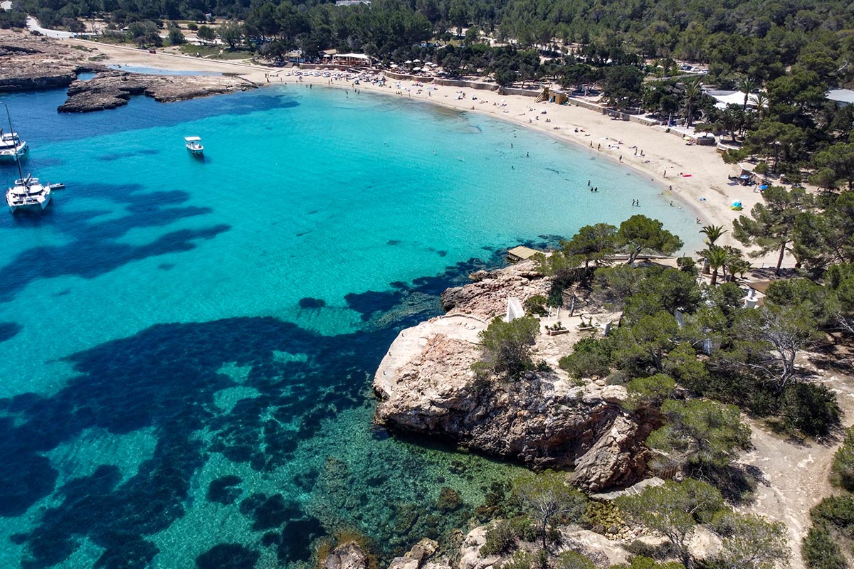
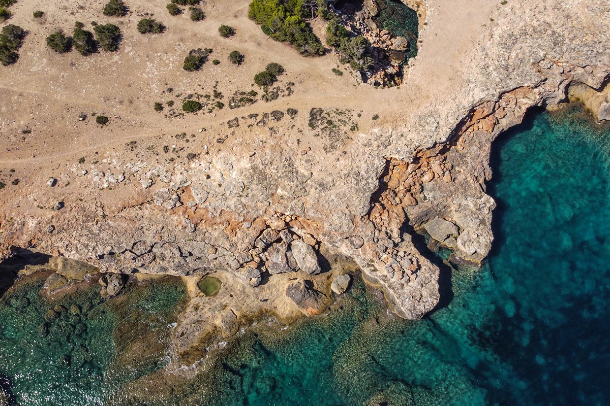
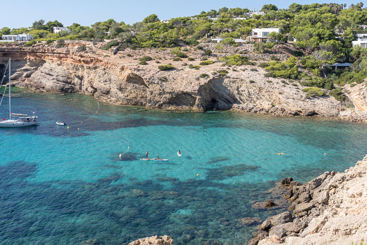
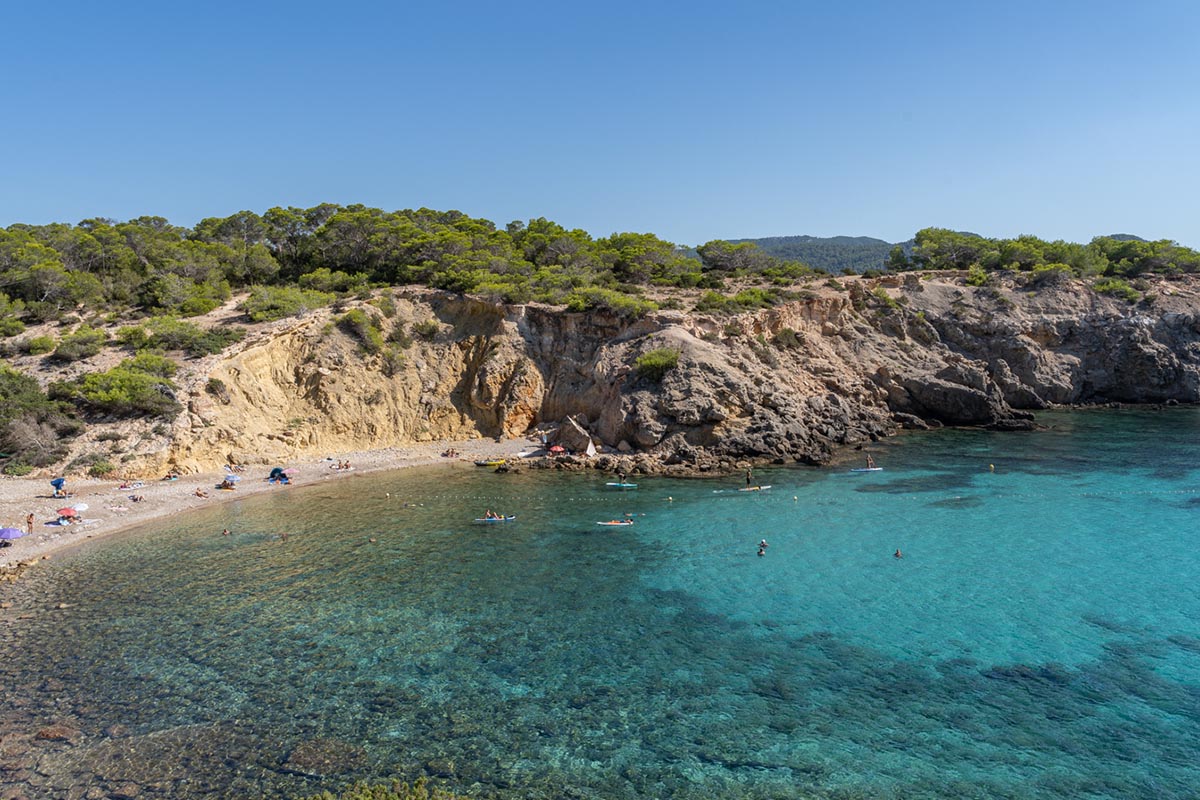
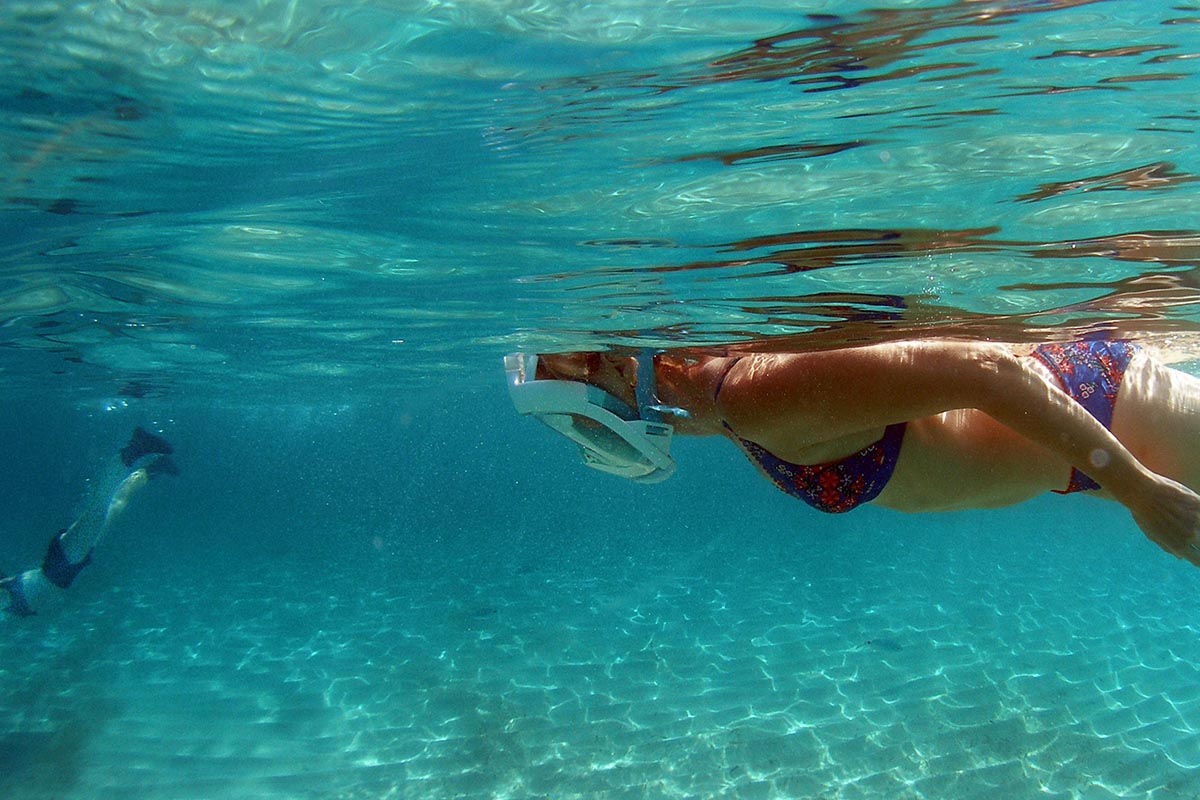
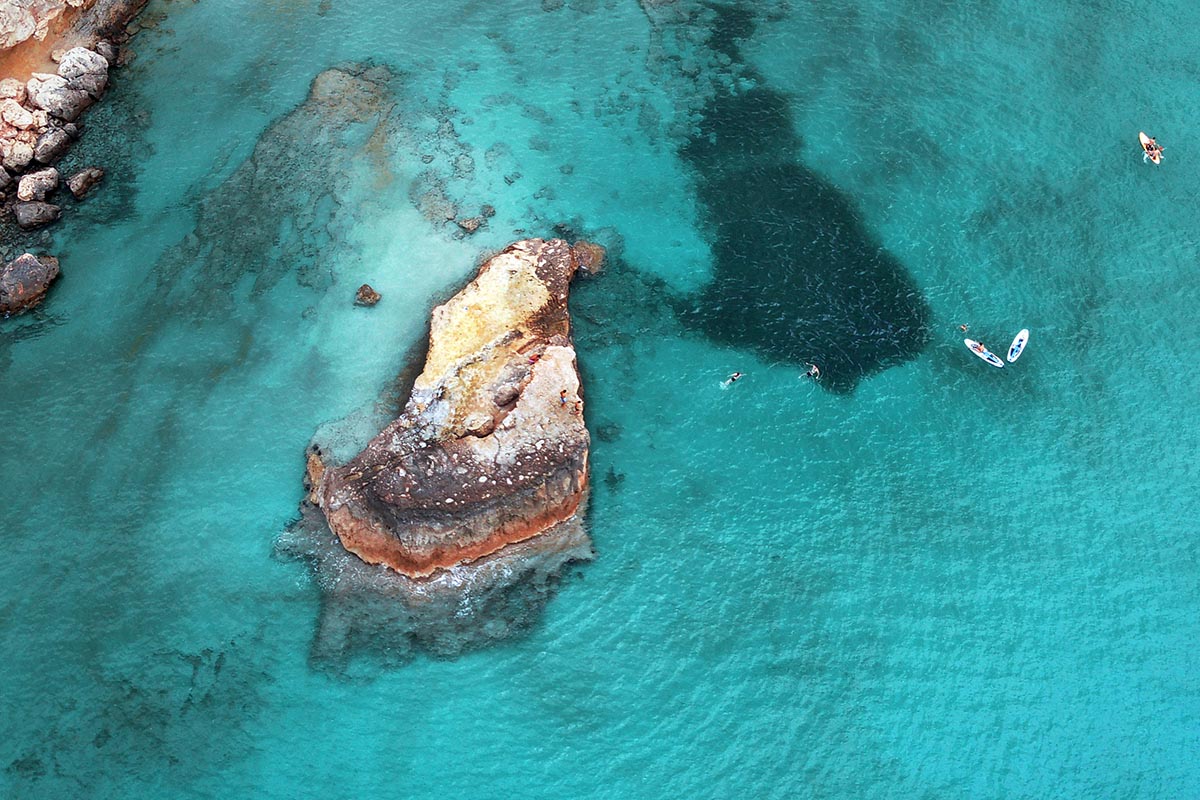
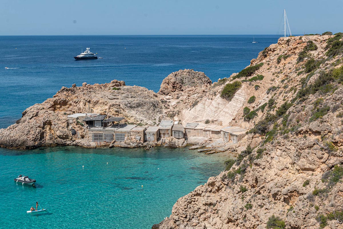
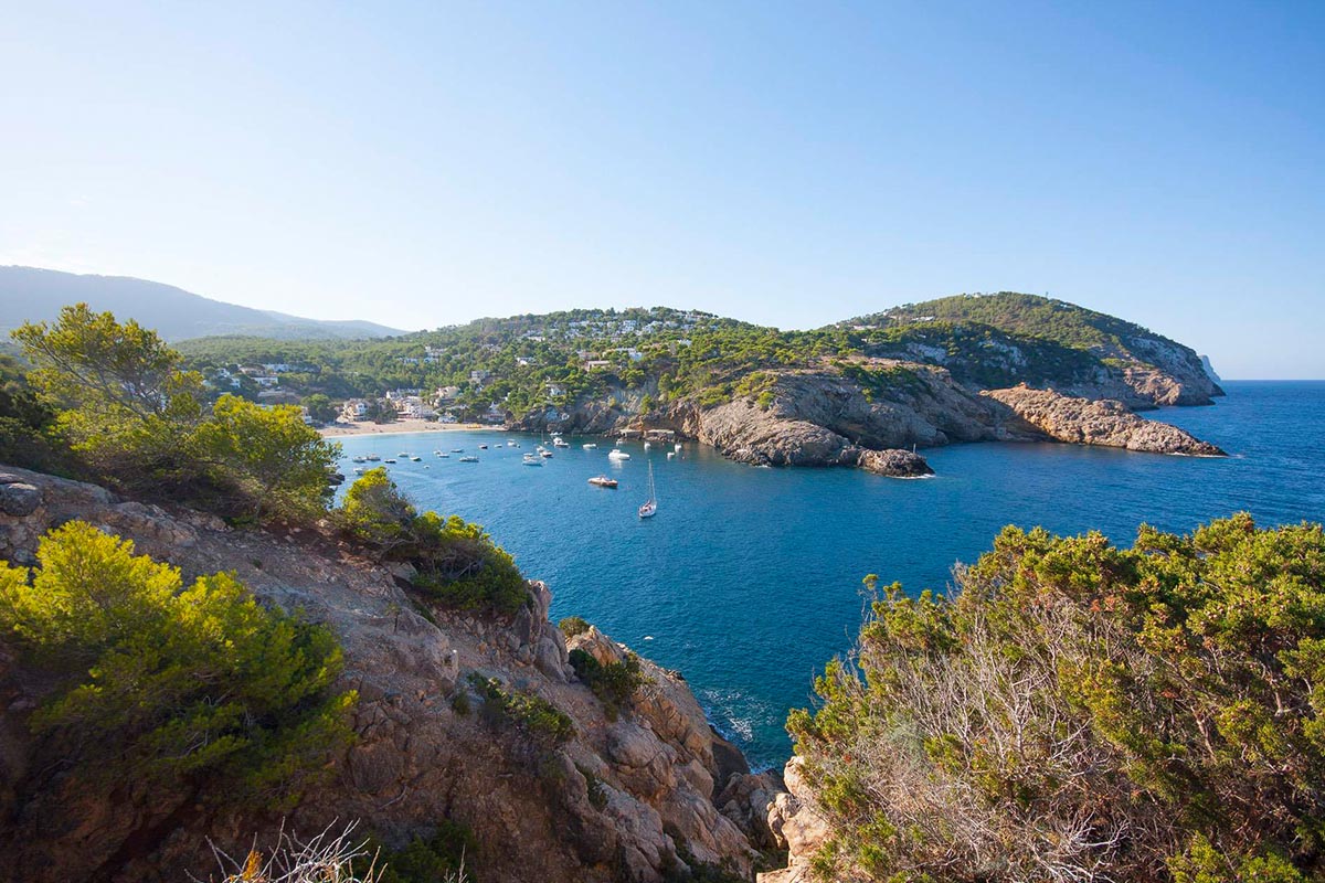
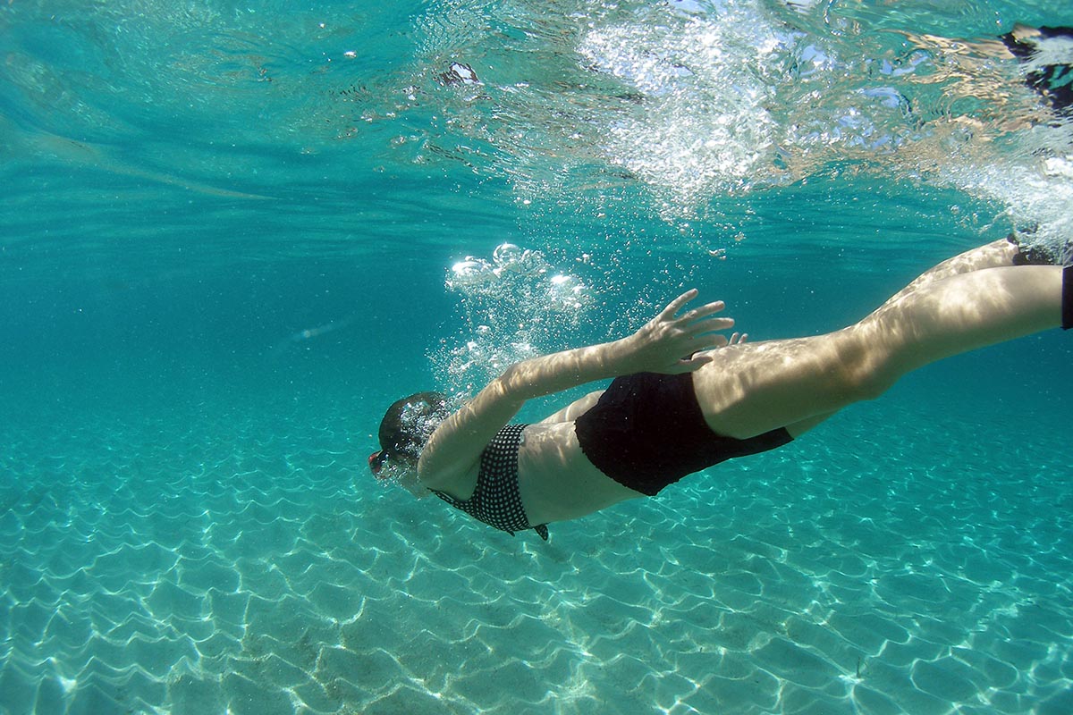
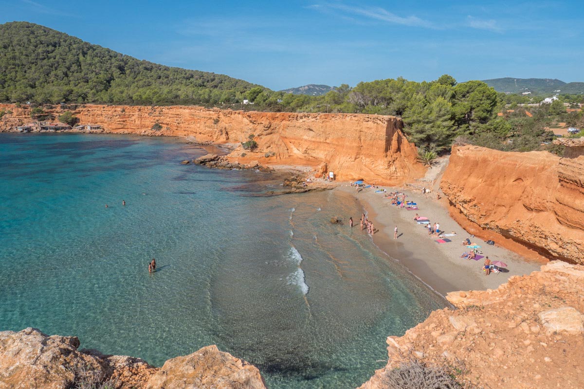
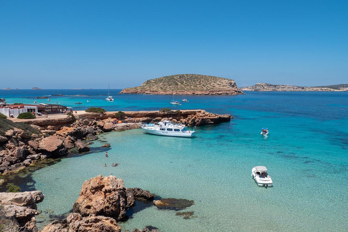
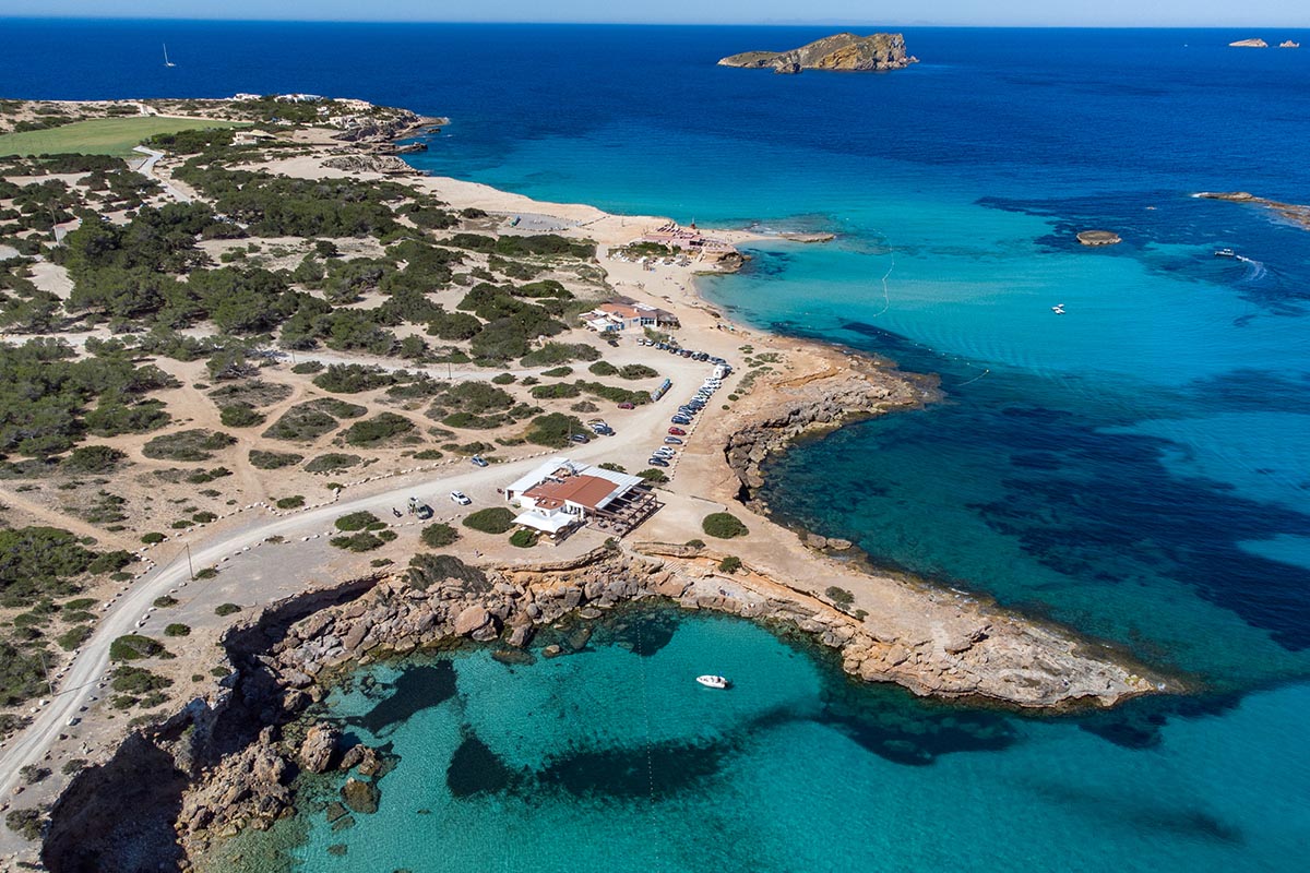
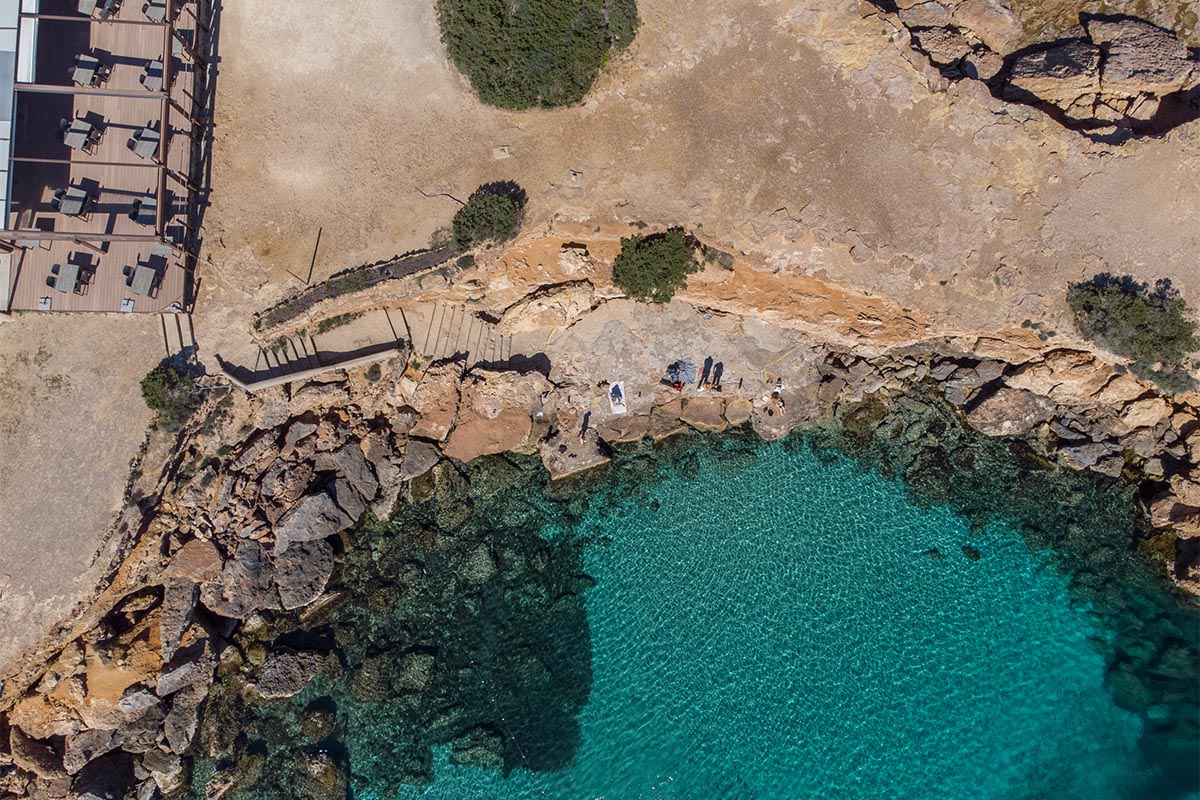
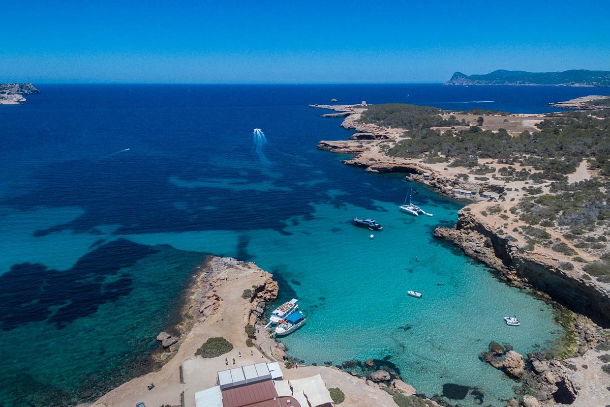
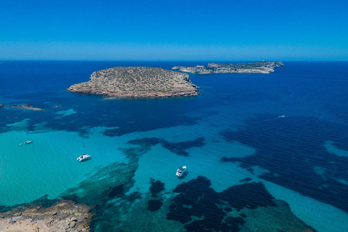
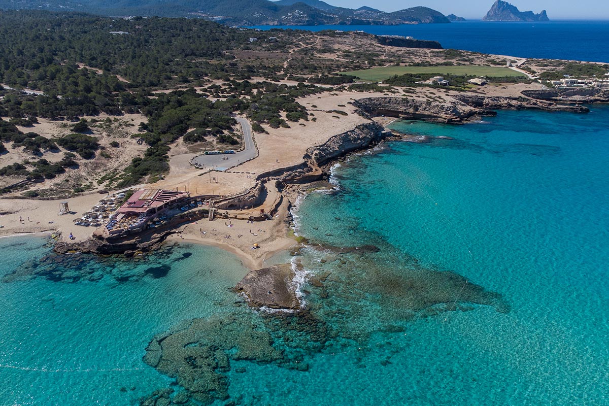
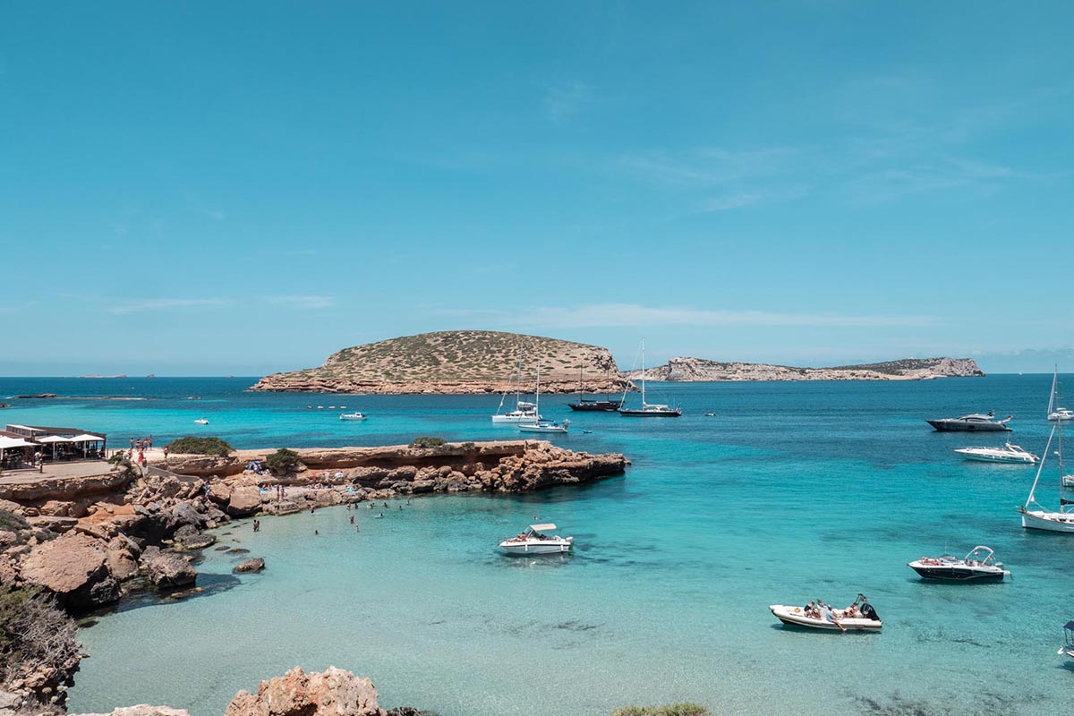
We will visit Cala Bassa, a peaceful bay of crystalline waters – where it will be difficult not to fall into the temptation of a swim, weather permitting. Next to the cove, there is a camp site complete with all the services, plus a few stands to have some refreshments if we wish. We continue pedalling next to the coast, enjoying magnificent views of Conejera Island, of several small coves that appear beneath the cliffs and of Torre de’n Rovira or Torre de Comte. This is a majestic guard tower, built in 1763, that presides over this area of cliffs, although we’ll have to be especially careful not to get too near the border here.
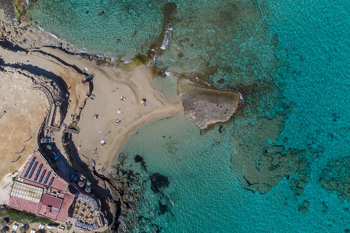
We continue our route to Platges de Comte, a spot that has restaurants and ‘chiringuitos’ or refreshment stalls where we can restore our energies – while enjoying the spectacular scenery. This area is graced with innumerable corners for resting under the shade of pine trees and the local Savina spruce trees.
We go back on a section of asphalted road to close the loop; we then return over the same itinerary to Port des Torrent once again. Our excursion ends here, having travelled 15 km over an easy, beautiful and very appealing route.
Distancia total – 14.57 Km
Por carretera – 3 Km
Por pista – 9.57 Km
Por Camino – 2 Km
Tiempo – 1-2 horas
Dificultad global – VERDE
Dificultad técnica – Baja
Dificultad física – Baja
Desnivel + acumulado – 223 m
Desnivel – acumulado – 223 m
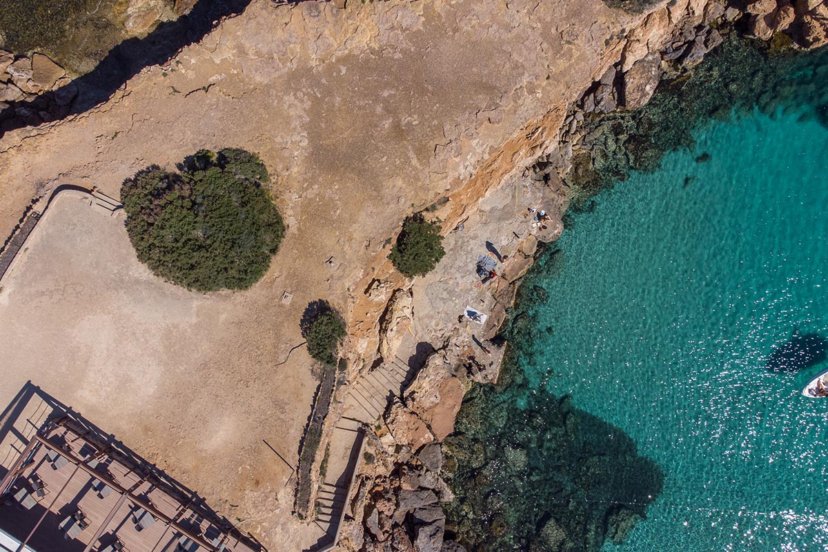
Special care has to be taken in the last section of the route, as we will share the road with motor vehicles (traffic can be rather heavy, depending on the time of year).
– Be careful of the cliffs, especially if there is a strong wind.
– Always wear your helmet.
ROUTE METER
1. Departure. We depart from Port des Torrent from the route display panel, heading up Conca Street.
2. Right turn. We enter the dirt track.
3. Left turn. We reach a crossroads in a clear area next to some houses, and turn left.
4. Right turn onto the road. When we reach the road, we turn to the right.
5. Straight ahead onto the track. At the curve to the right of the road, we continue straight onto a track.
6. Left fork. At the next fork, we turn to the left.
7. Straight ahead at the crossroads. At this crossroads, we continue straight on, on the main track.
8. Right turn at the road. We reach an asphalt road with a certain amount of traffic. We turn to the right.
9. Left turn onto the path. We reach Cala Bassa. We take a road to the left.
10. Right fork. We reach a gate to private property. We take the road to the right.
11. Left turn onto the path. We reach what appears to be the end of the track, towards a house. We take a road to the left.
12. Right fork. At this fork, we continue to the right.
13. Left turn. We reach the Cala Roja cliffs. We now follow the coastline, towards the left.
14. Turn to the left onto a track. After skirting Cala Roja, we come to a track. We turn left.
15. Right turn. At the pronounced curve, we take the road to the right.
16. Follow the coast. We reach a restaurant. We continue along the coastline.
17. Left turn onto the road. From the cliff, we can see several islets and a fence separating us from the cliff. We take the asphalt road towards the left.
18. Left turn. After a straight stretch on the road, we come to a curve to the right. We take the road to the left.
19. Right fork onto a track. We then come to a fork. We continue onto the dirt track on the right.
20. Left turn. We reach an asphalt road. We turn to the left.
21. Right turn onto the track. We enter the dirt track on the right, which we have already gone over; the loop closes here and we go back the same way we came.
22. Left turn. We turn to the left onto Conca Street, up to the starting point.
23. End of the route.


