Sa Serra Grossa (Sant Josep) – Ibiza
Mountain Bike routes
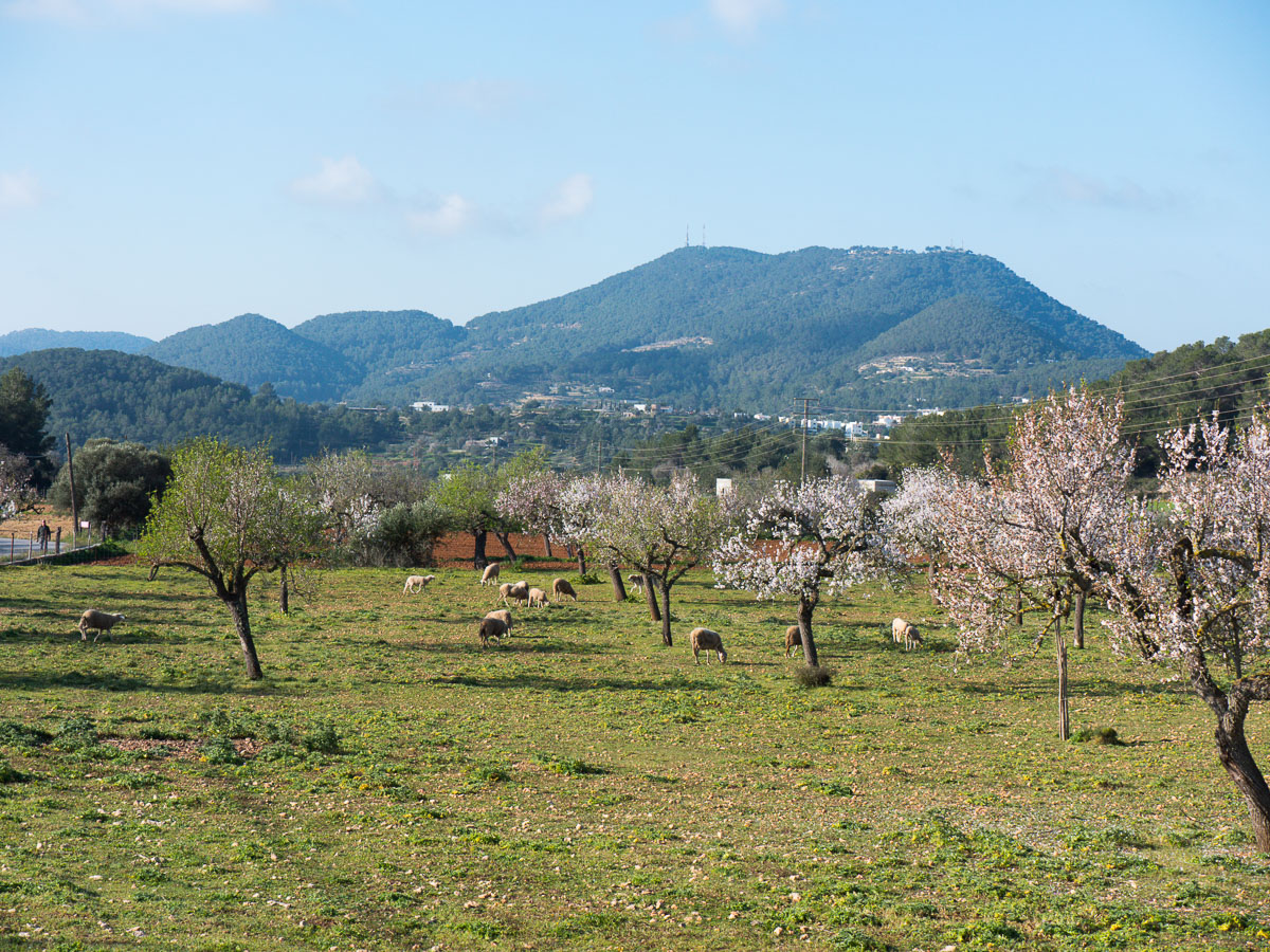
On this route we make two of the most important ascents on Ibiza Island: the ascents of sa Capelleta d’en Serra and Serra de sa Murta. They go through pine and juniper woods where the Ibizan Genet can be spotted. The species is native to the island.
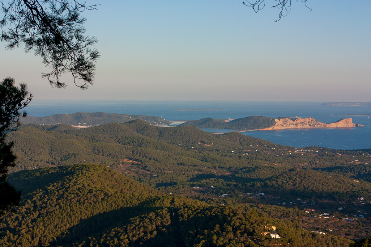
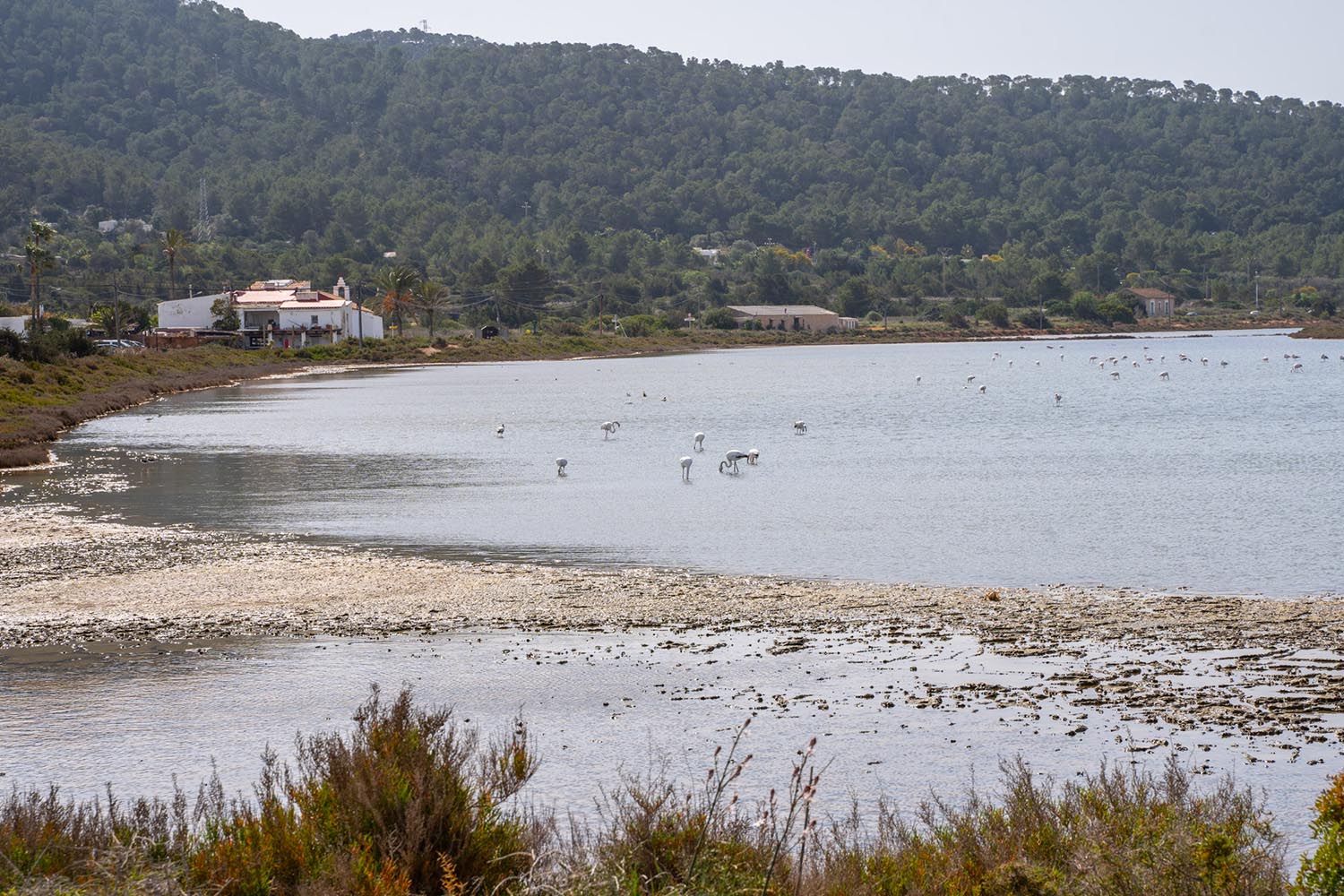
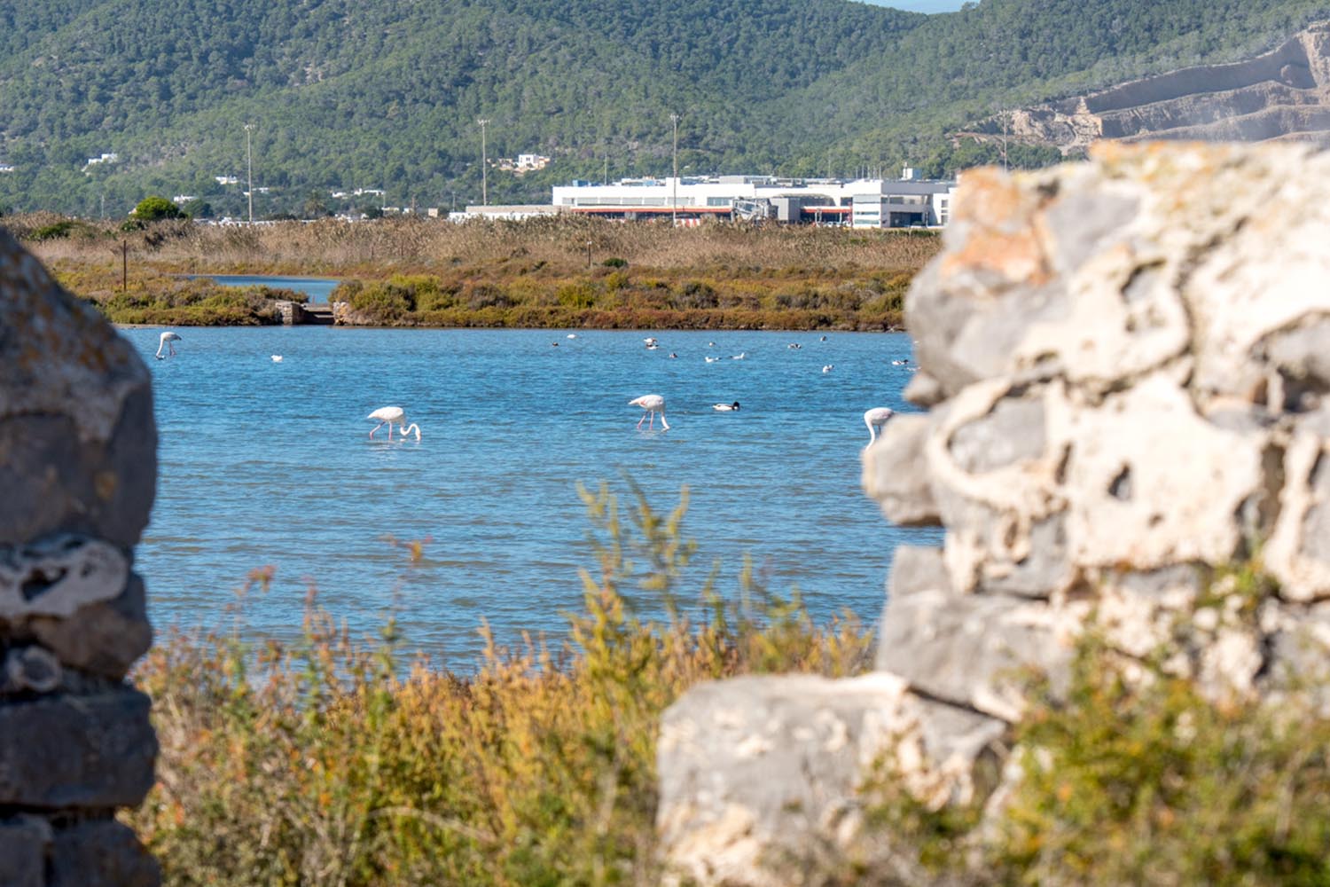
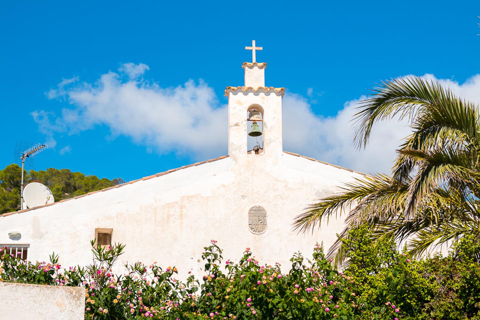
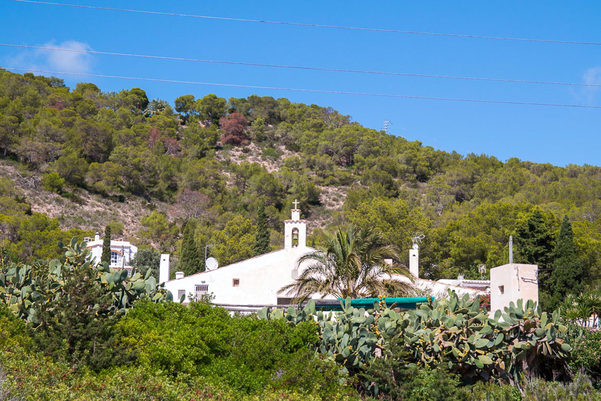
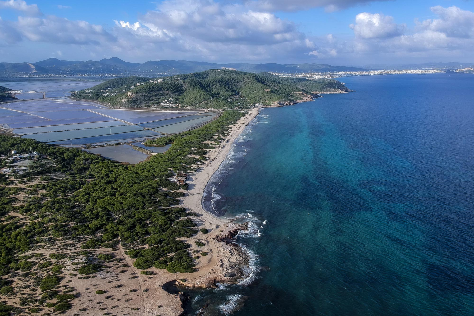
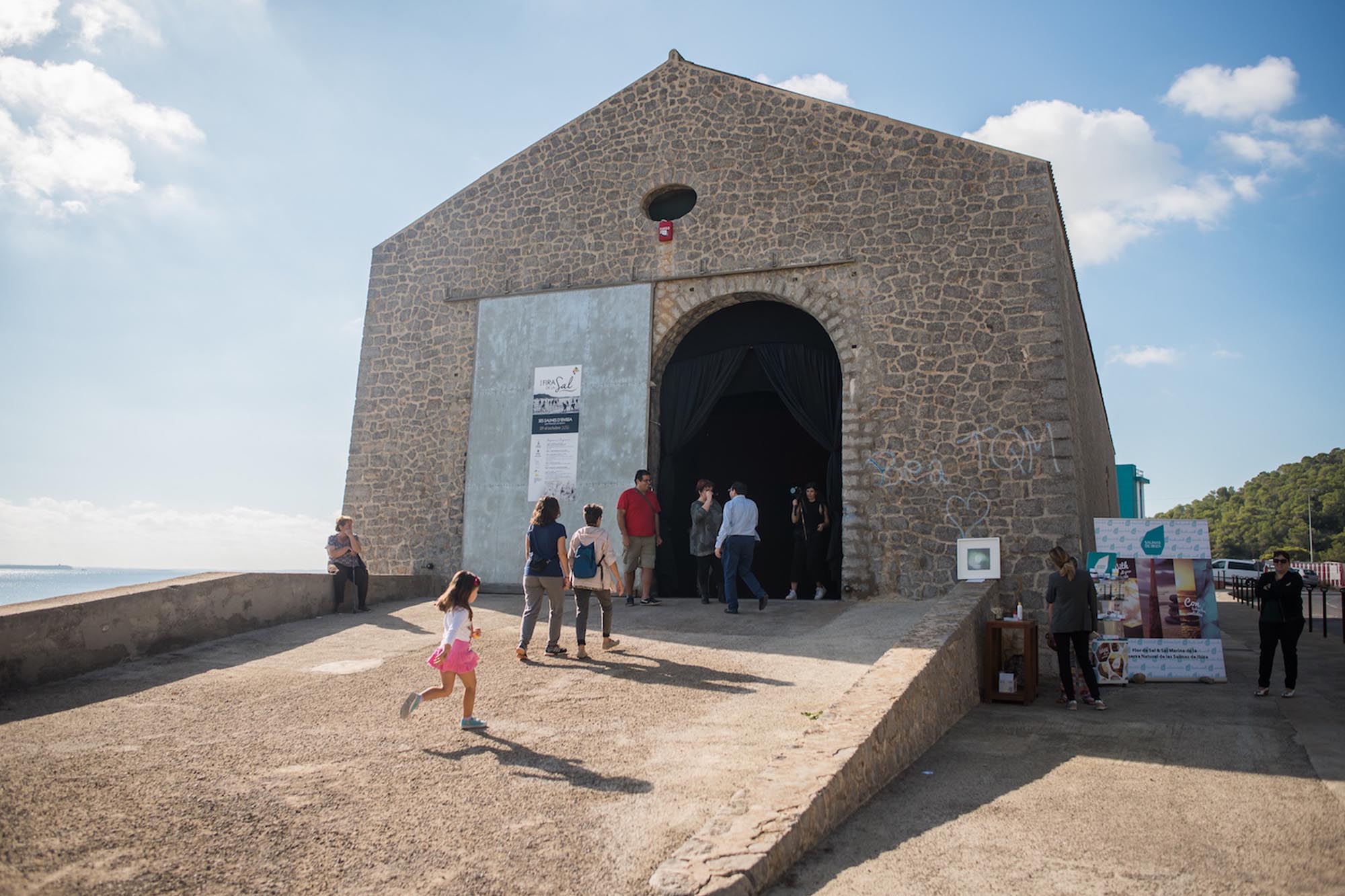
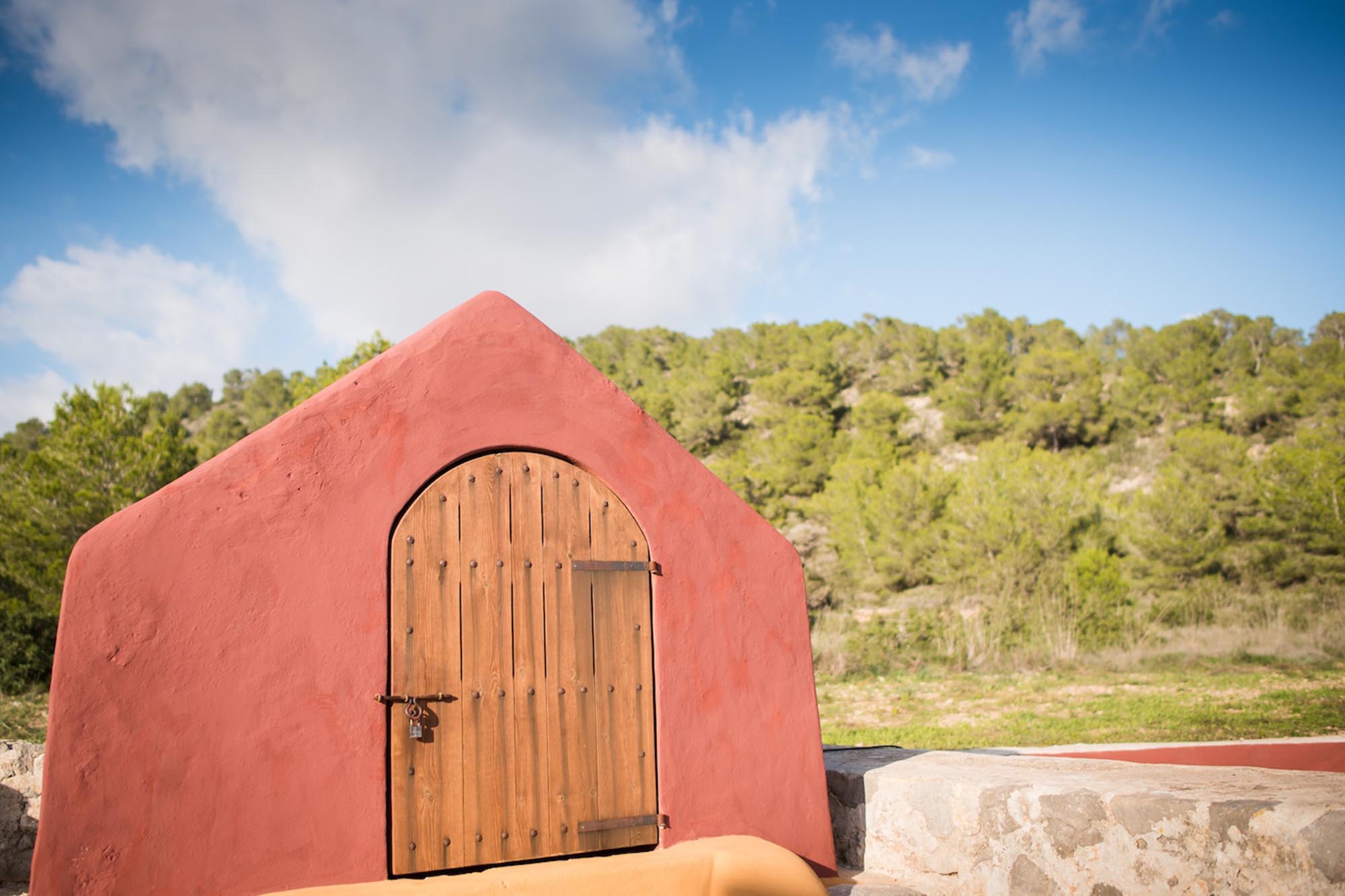
Our route departs from Sant Antoni, at sea level and continues through Benimussa Valley, climbing steadily up to sa Capelleta. We recommend doing the last stretch on foot. Sa Capelleta is a curious shrine built in 1919 by Vicent Serra to fulfil a promise he made as a soldier in Algiers. The shrine has a view over the ses Salines nature park.
After a visit to the shrine, the cross-country biking trail descends into the lovely valley of sa Serra Grossa, close by. When we come to sa Carroca, a densely populated area, we start to climb again until we reach Serra de sa Murta, 400m above sea level.
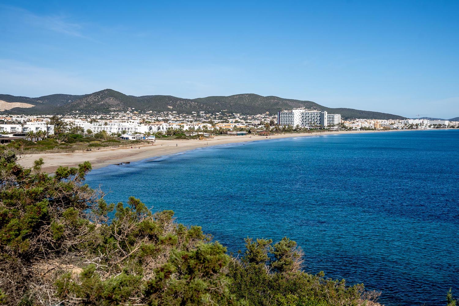
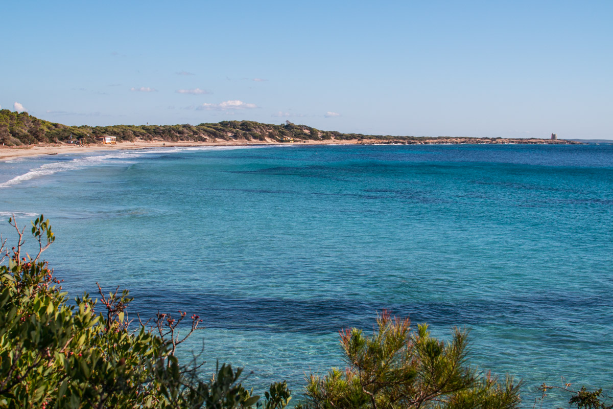
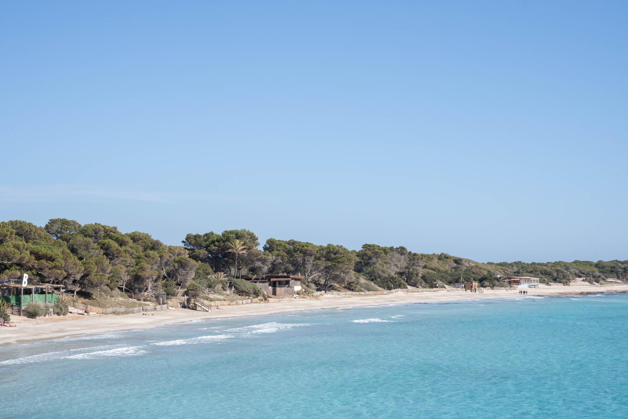
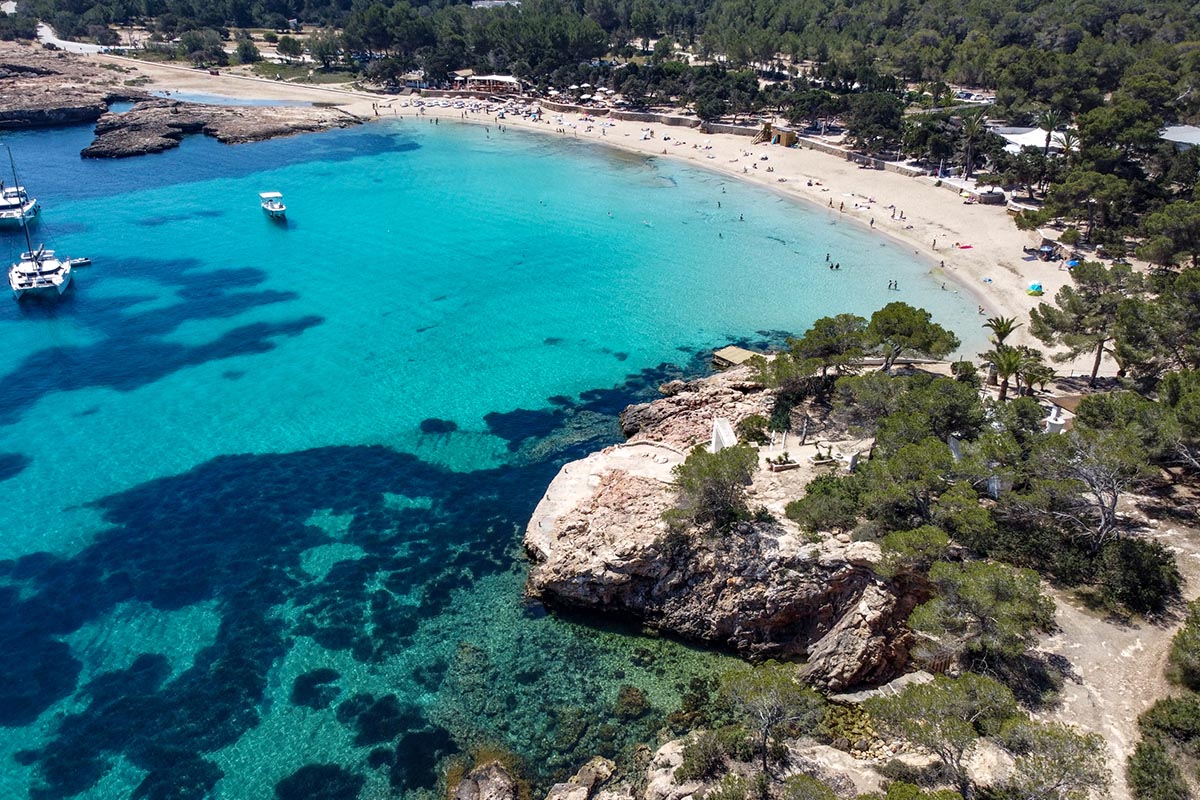
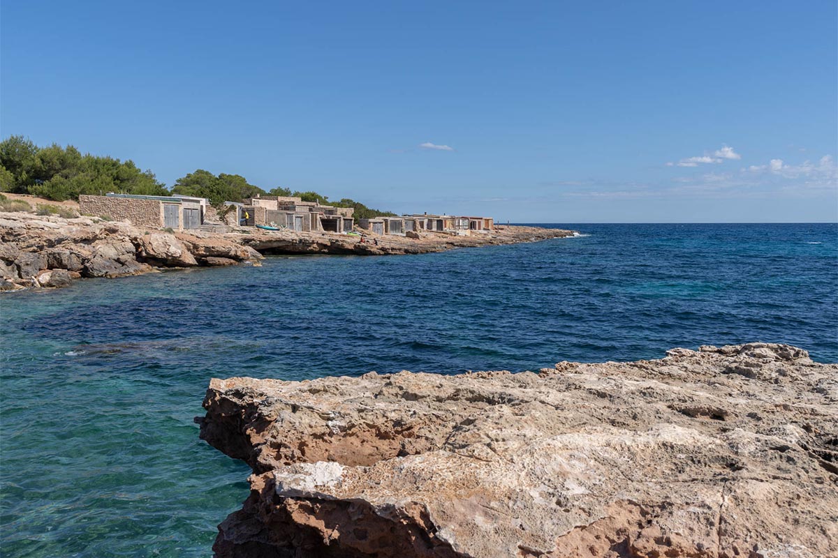
After these two important ascents, we will go through the Ibizan countryside and coast downhill to sea level to complete our circular route.
Distancia total – 34 KM
Tiempo estimado – 2h 20 m
Ascenso total – 837
Descenso total – 840
Carretera – 25%
Pista – 70%
Camino – 5%
Dificultad técnica – Media
Dificultad física – Media
Dificultad global – ROJA
Take plenty of water with you. There are no springs along the way.
– Be very careful when going down the cross-country biking trails, particularly if it has rained recently.
-Always wear your helmet.
ROUTEMETER
1. Departure. We depart from the roundabout at Cala de Bou on Dr. Fleming Avenue, in Sant Antoni (next to the sign posting the route). We head east and go straight ahead past the houses (ignoring any turns).
2. Crossroads, straight ahead. We come to a crossroad with the main road, which we cross carefully. We continue our way along a dirt track. We continue straight ahead at the next crossroads.
3. Left turn onto the road. We come to a crossroad among a group of houses and turn left onto a paved road in poor condition.
4. Fork to the left. We come to a fork and turn left, up a short slope. A bit further on we come to another crossroads and turn left onto a dirt track.
5. Right turn. We turn right at this crossroads and right again at the next crossroads, onto a paved road.
6. Left turn onto a path. We come to a curve where we turn to the left onto a dirt road. At the next four crossroads, we go straight ahead, making no turns.
7. Fork, straight ahead. We come to a fork next to some houses and continue straight ahead. We continue straight ahead at the next crossroads.
8. Crossroads, road straight ahead. We come to a crossroads and continue straight ahead on a paved road. We go uphill, making no turns, for 2.5 Km.
9. Left turn onto a track. We come to a house at a crossroads. We turn left onto a dirt track. A bit further on, we come to a fork and turn right.
10. Fork to the left. Opposite a house, we go left (towards sa Capelleta) and then straight ahead along the main track, following the signs to the shrine.
11. Right turn. When we come to the next fork, we turn right. We can leave the bikes right opposite the house and continue on foot to the sa Capelleta shrine. It is a short way but very steep.
12. Summit. We reach es Puig Gros summit. We take the same road back down to the crossroads.
13. Right turn onto a path. Now we turn right and go down the cross-country biking trail. When we come to the next crossroads, we’ll turn right.
14. Fork to the left. As we go downhill, we come to a fork. We turn left. When we come to the next crossroads, we turn left.
15. Right turn onto a path. We come to a track where we turn right and continue on downhill.
16. Right turn onto the road. We come to a road, where we turn to the right. We continue down into the valley, taking no turns.
17. Left at the crossroads. We come to a crossroads (where there are some trash bins). We turn left.
18. Right turn onto a path. We come to a little path on a curve. We take it, turning to the right.
19. Crossroads, straight ahead. We come to a dirt track and follow it straight ahead until we come to a crossroads. Here, we turn left onto a path.
20. Left turn onto the road. At this crossroads, we turn left and then right, onto a path.
21. Right turn onto the road. We come to a little paved road at the crossroads and turn right. At the next crossroad, we turn left and follow the road for a while, taking no turnoffs.
22. Left at the crossroads. When we arrive at the sa Carroca residential area, we come to a crossroads. We turn left and left again at the next crossroads.
23. A fork to the right. When we come to this fork, we turn right and enter the woods. We turn left at the next crossroads.
24. A fork to the right, onto a track. At this fork, we go up a track to our right. When we come to the next to crossroads, we go straight ahead.
25. A fork to the right. We go up to the right at this crossroads, along a stretch of cement, and then we follow the track, taking no turnoffs.
26. Left at the crossroads. We come to a crossroads next to a house. We go to the left and continue on uphill. When we come to the next to crossroads, we go straight ahead.
27. Fork to the left. At this crossroads, we turn left. A bit further on, we come to two crossroads, where we go on straight ahead.
28. Left at the crossroads. We come to the highest crossroads and turn left (we come back to this crossroads later, to go back down). We turn left at the next fork, and then to the right.
29. Right turn. We climb uphill to the right on foot, crossing some of the paths that lead to the summit. Subsequently, we go back to the crossroads again, and turn left.
30. A fork to the right. During the descent, we come to a crossroads and take the turnoff to the right. Further on, at the crossroads, we turn right onto the road and follow it straight ahead.
31. Right turn onto a track. We turn right onto a track leading to Casita Verde. At the next two crossroads, we turn left and continue downhill, following the main track.
32. Left turn onto the road. We come to a crossroads. We turn left onto a road but almost immediately after we turn off to the right onto a track.
33. Right turn onto the road. We come to the last stretch, which is paved. We turn right and follow the road heading for Sant Antoni.
34. Crossroads, straight ahead. We come to a crossroads where we need to be very cautious. We continue straight ahead, go through a residential area and arrive at Sant Antoni. Here we turn to the right onto the main street by the sea.
35. End of the itinerary. We end our route at the same roundabout from which we departed.


