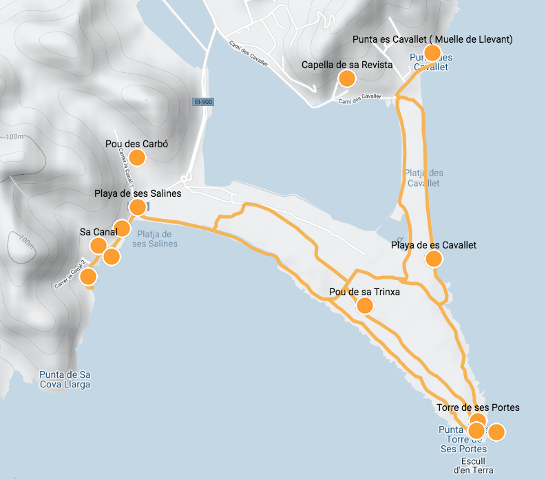
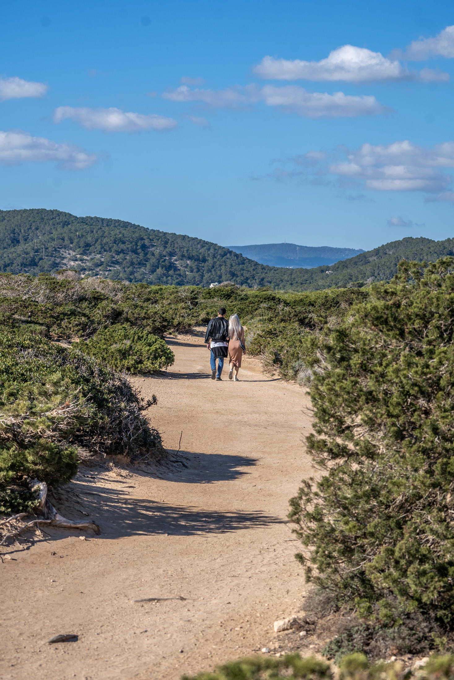
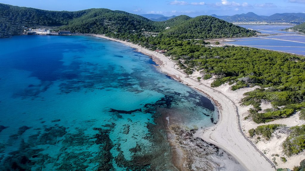
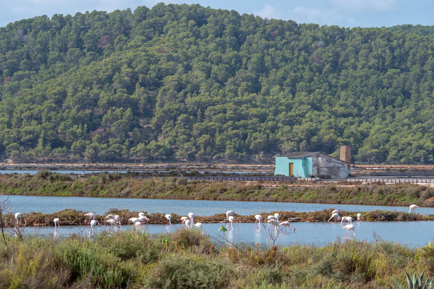
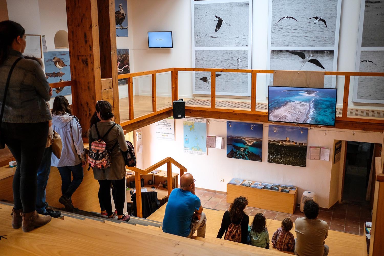
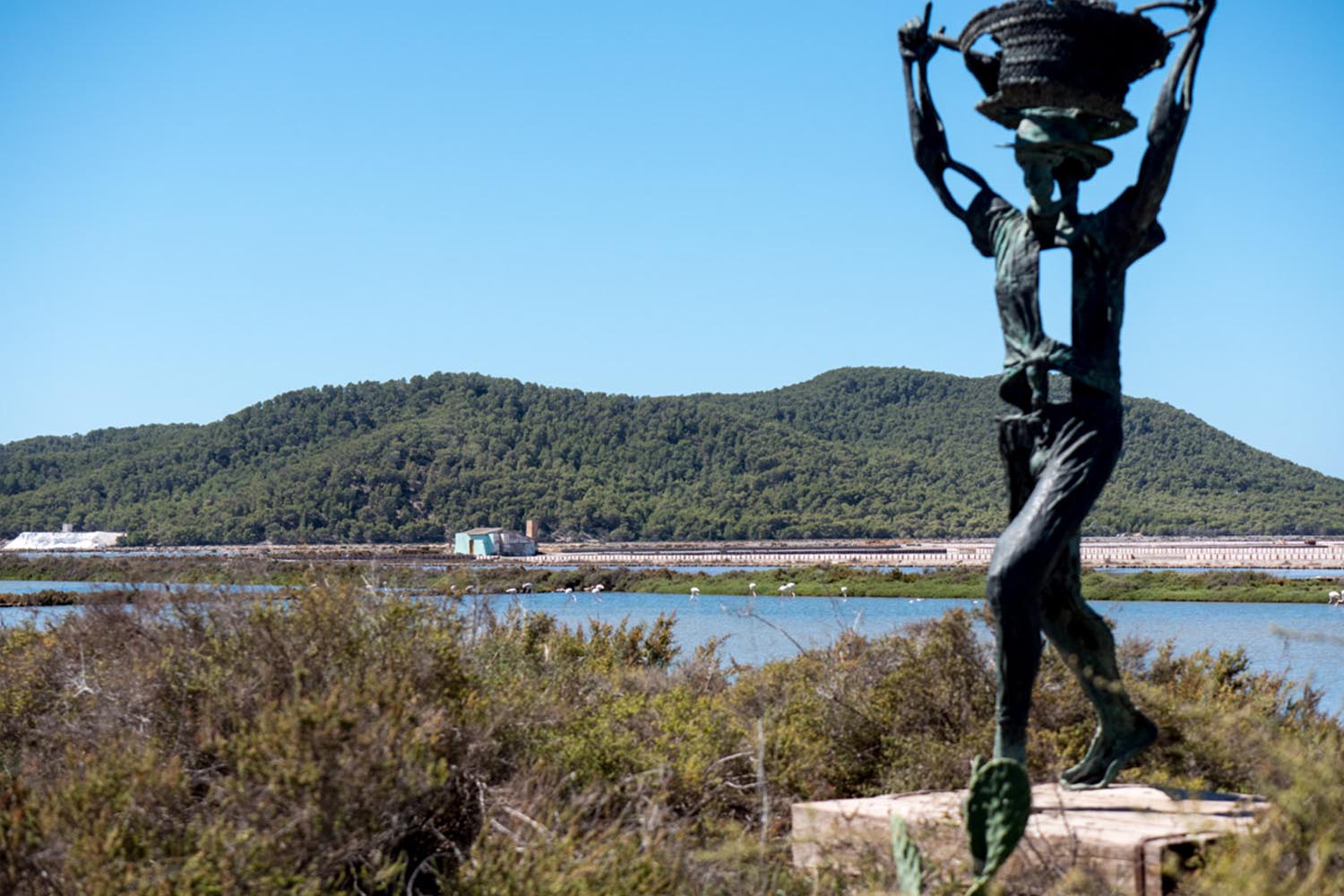
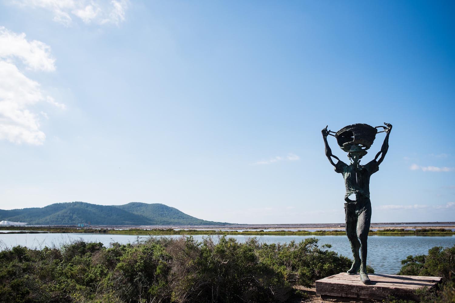
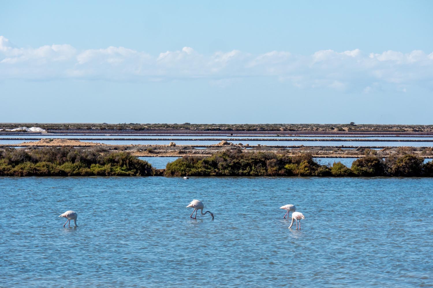
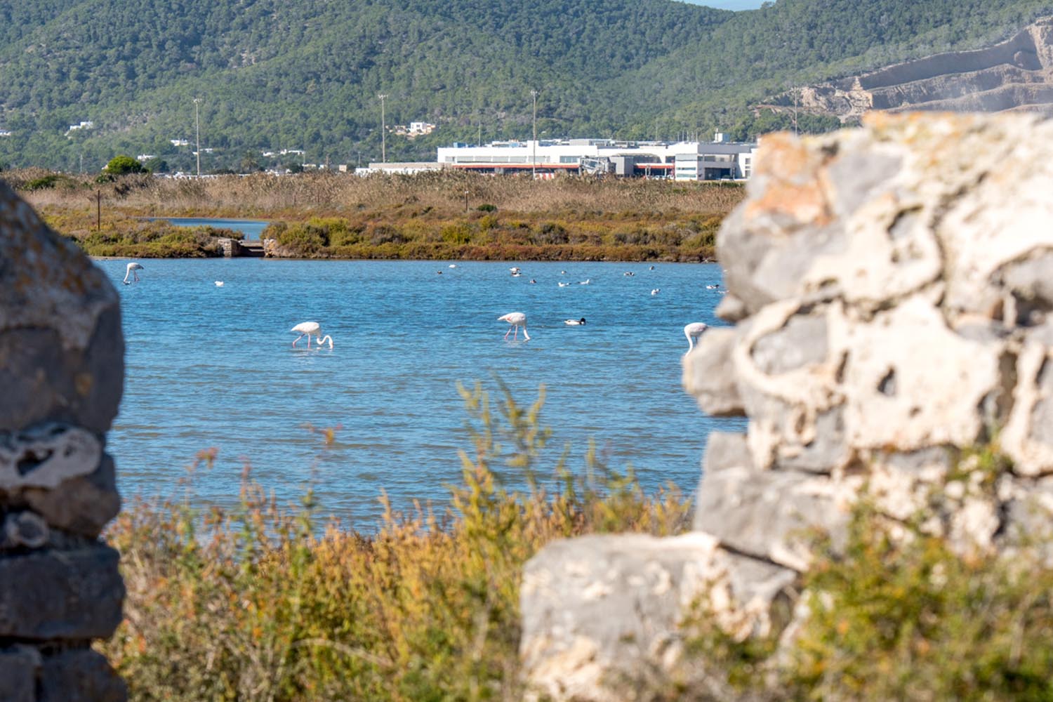
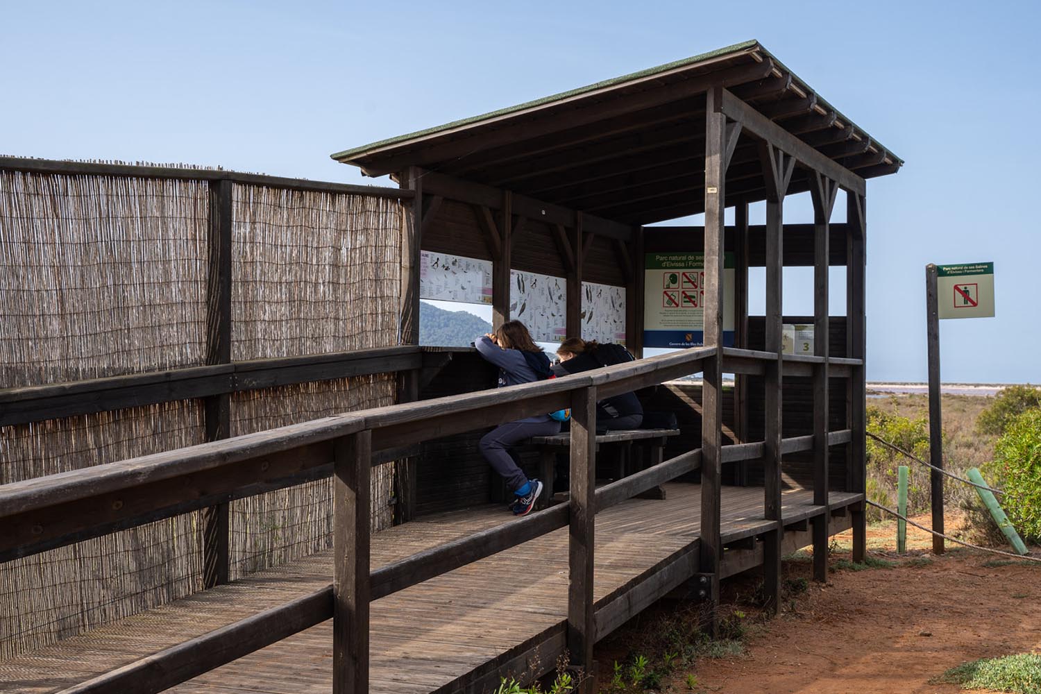
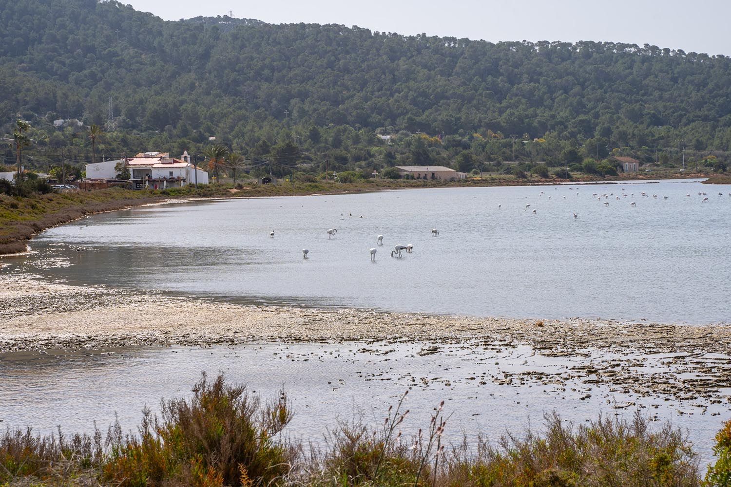
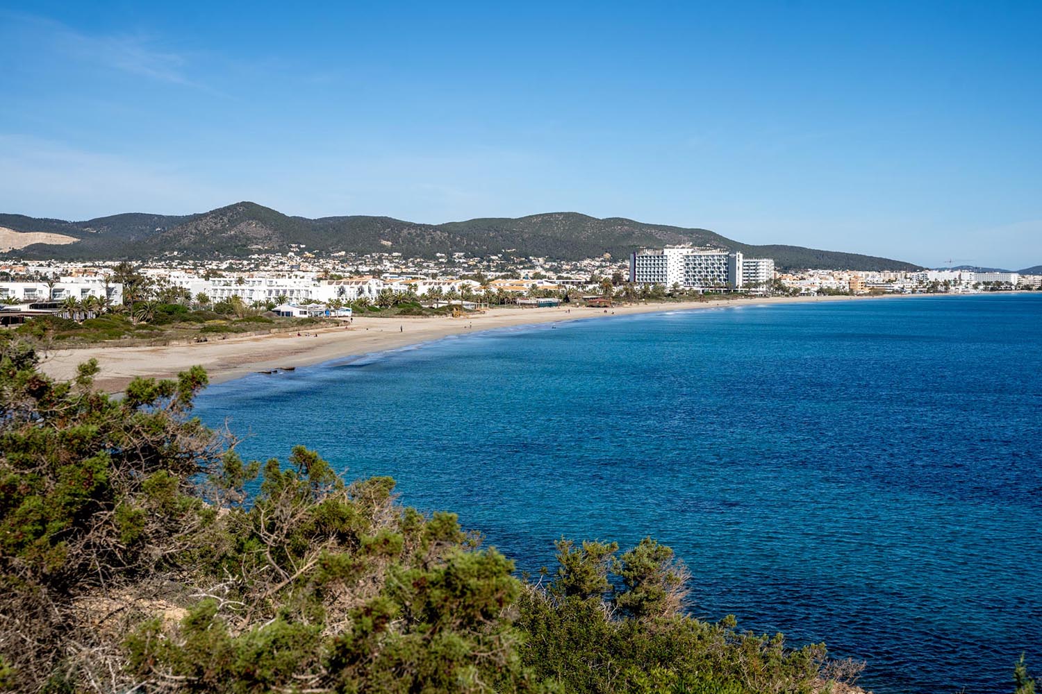
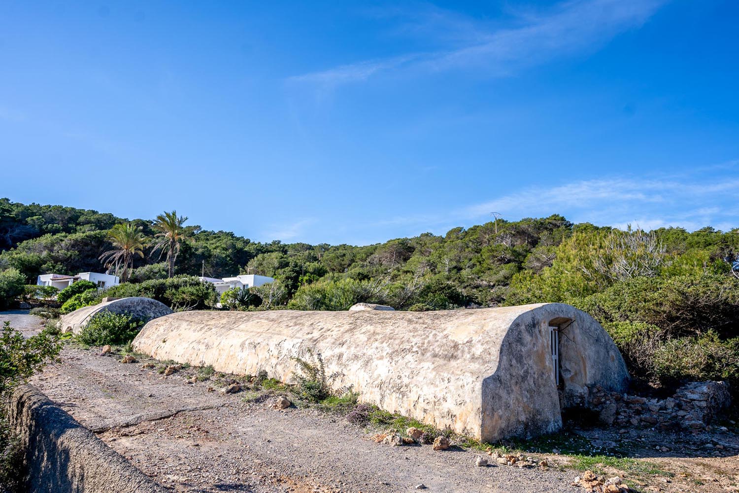
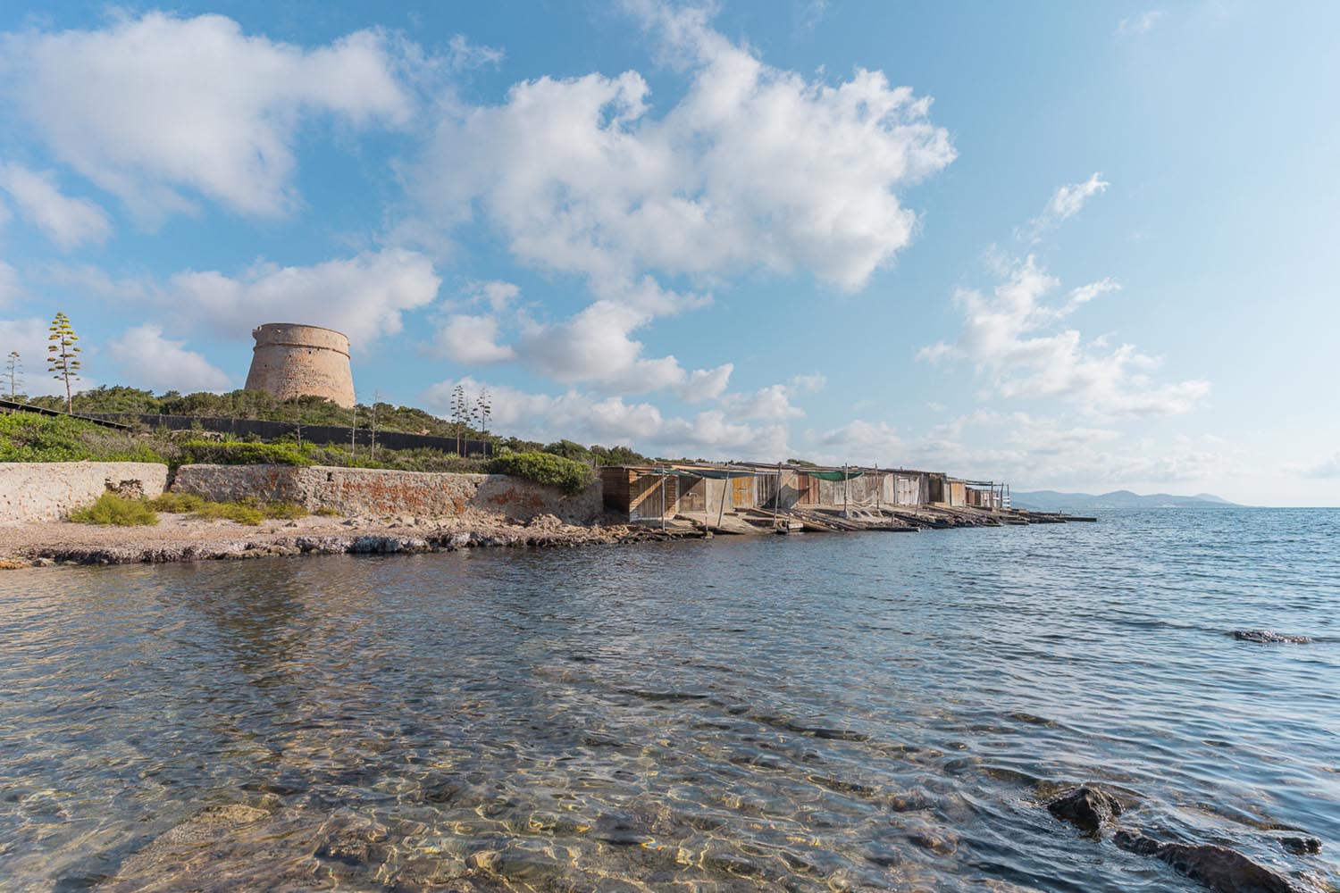
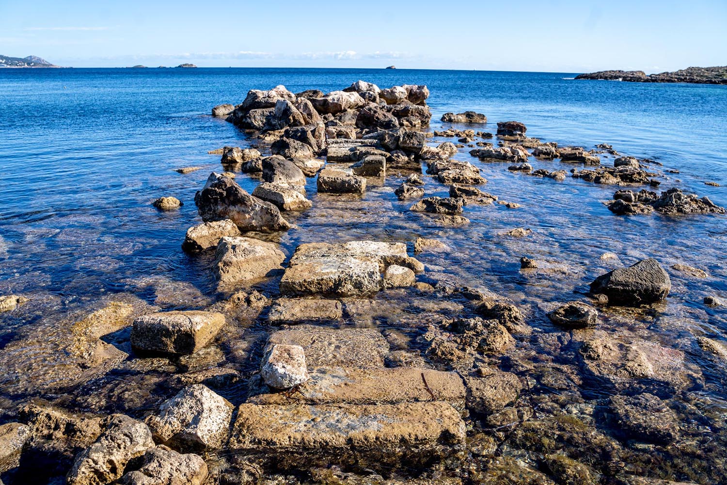
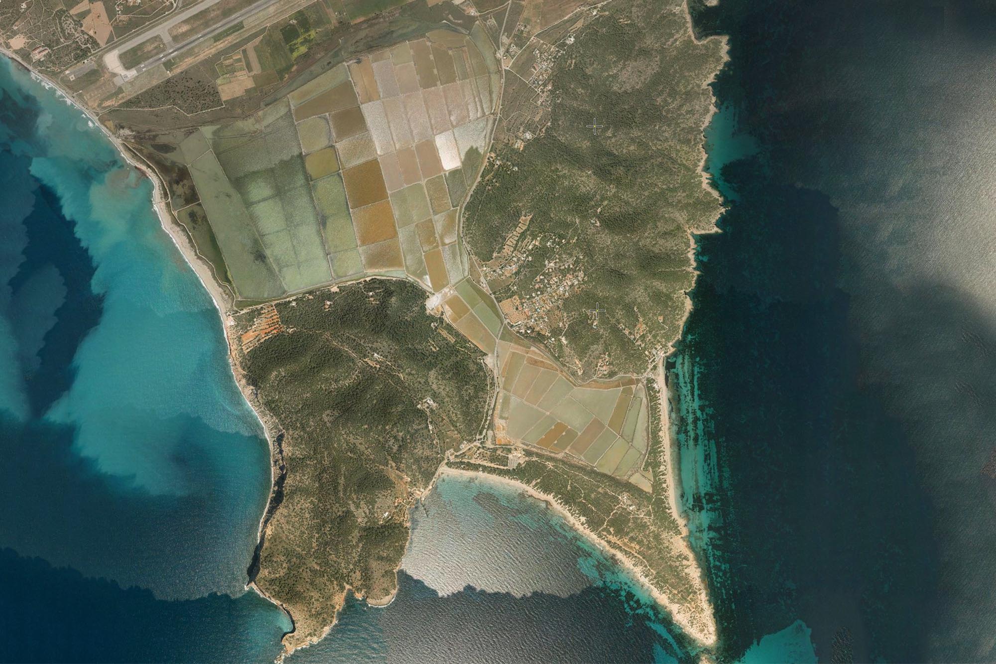
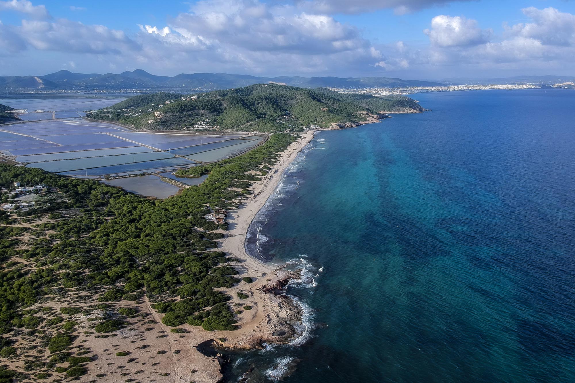
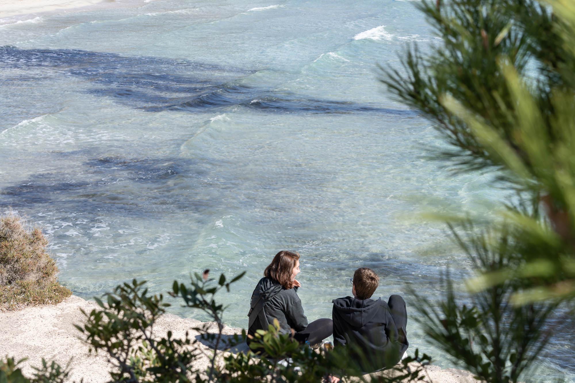
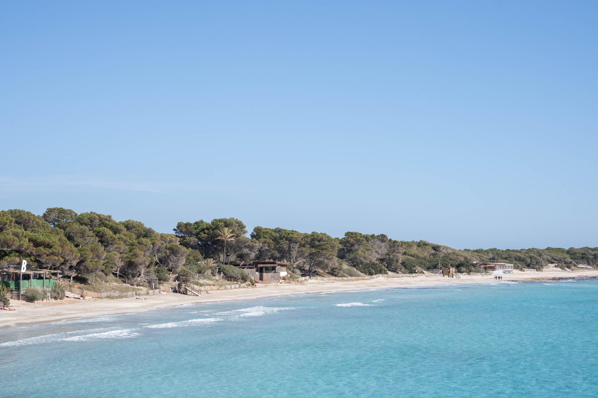
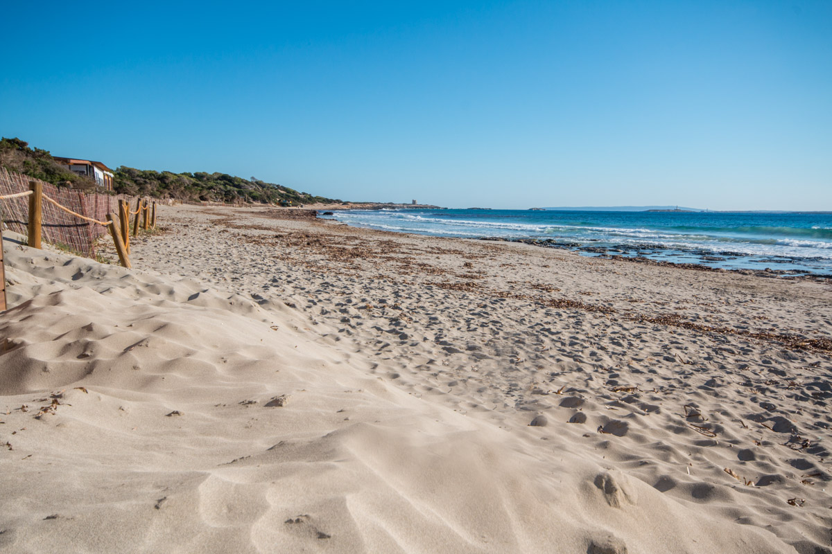
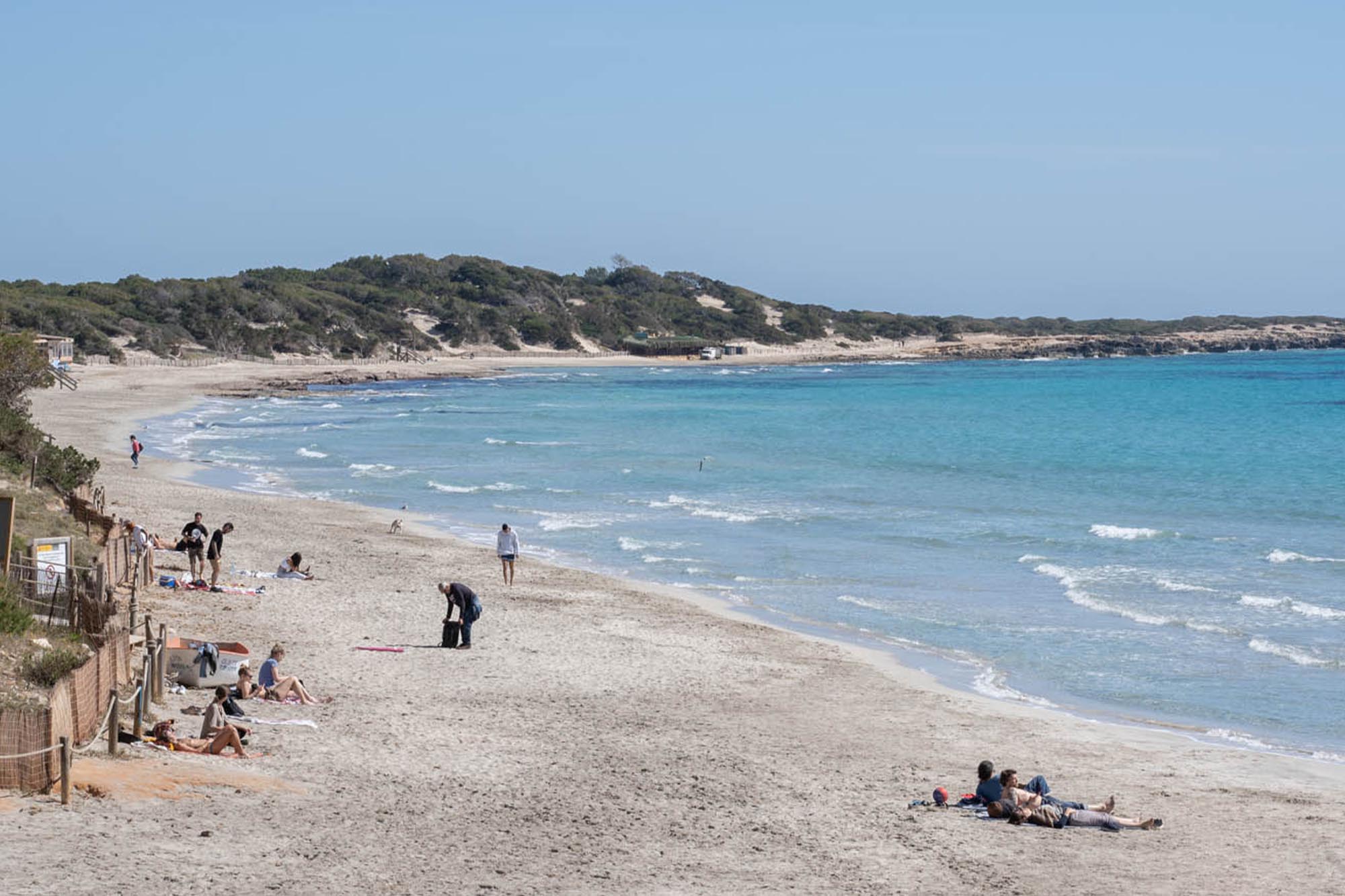
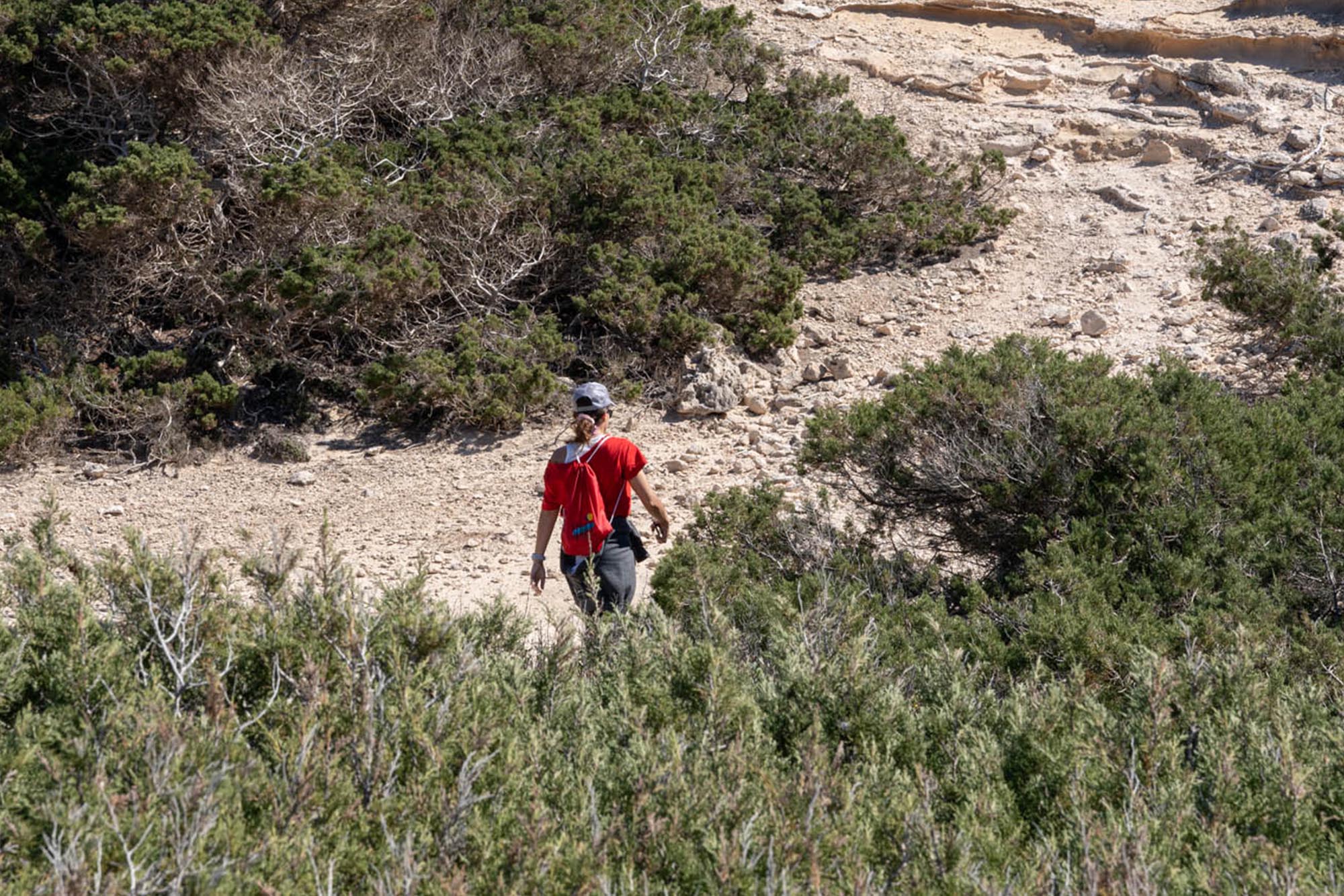
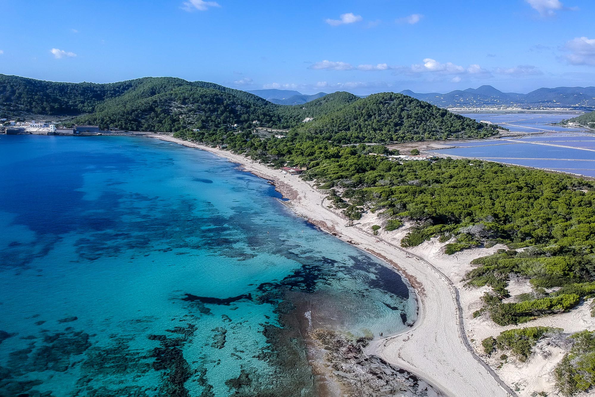
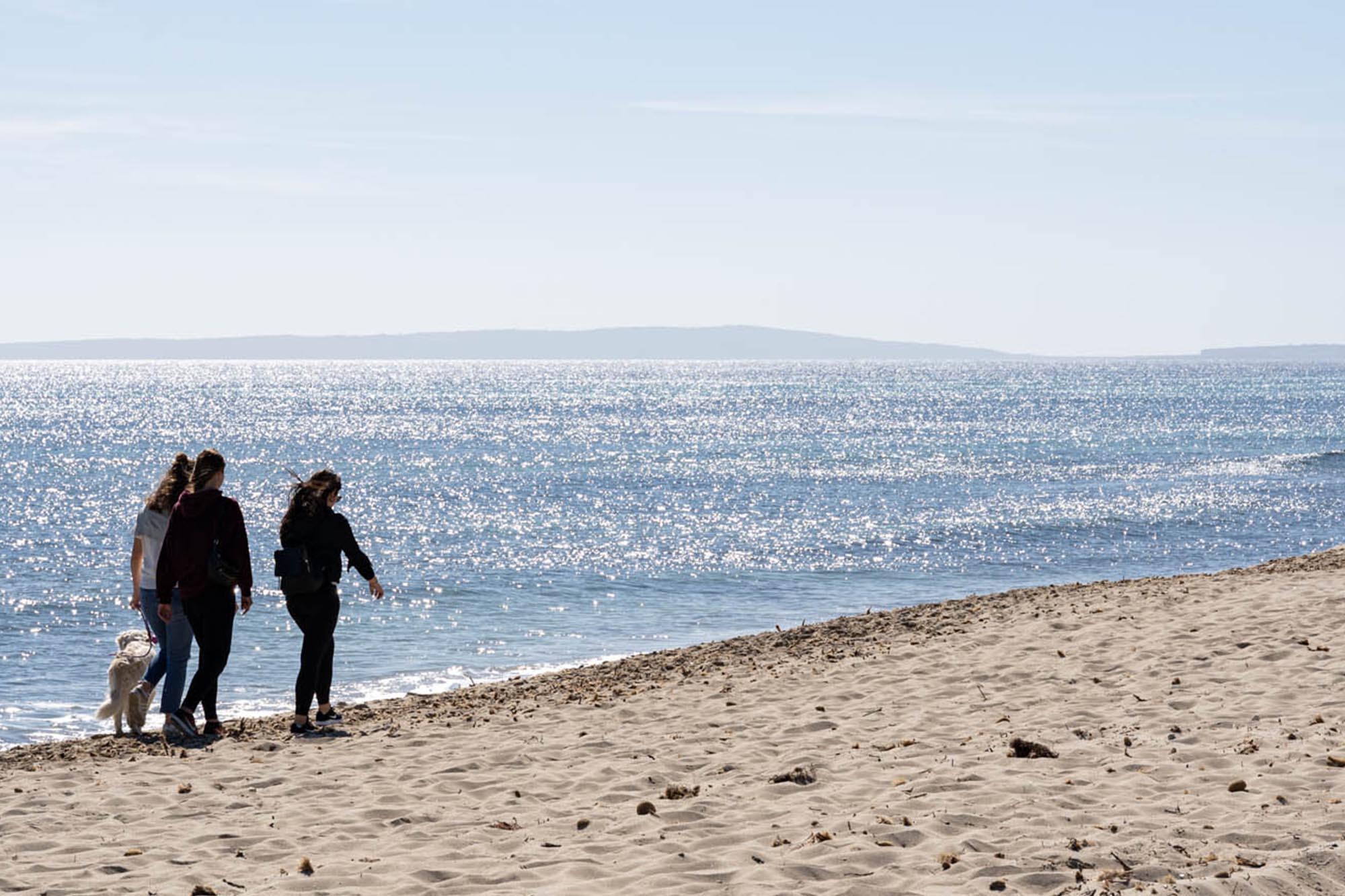
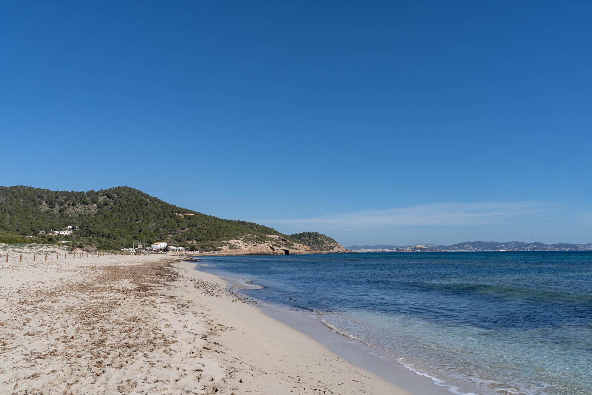
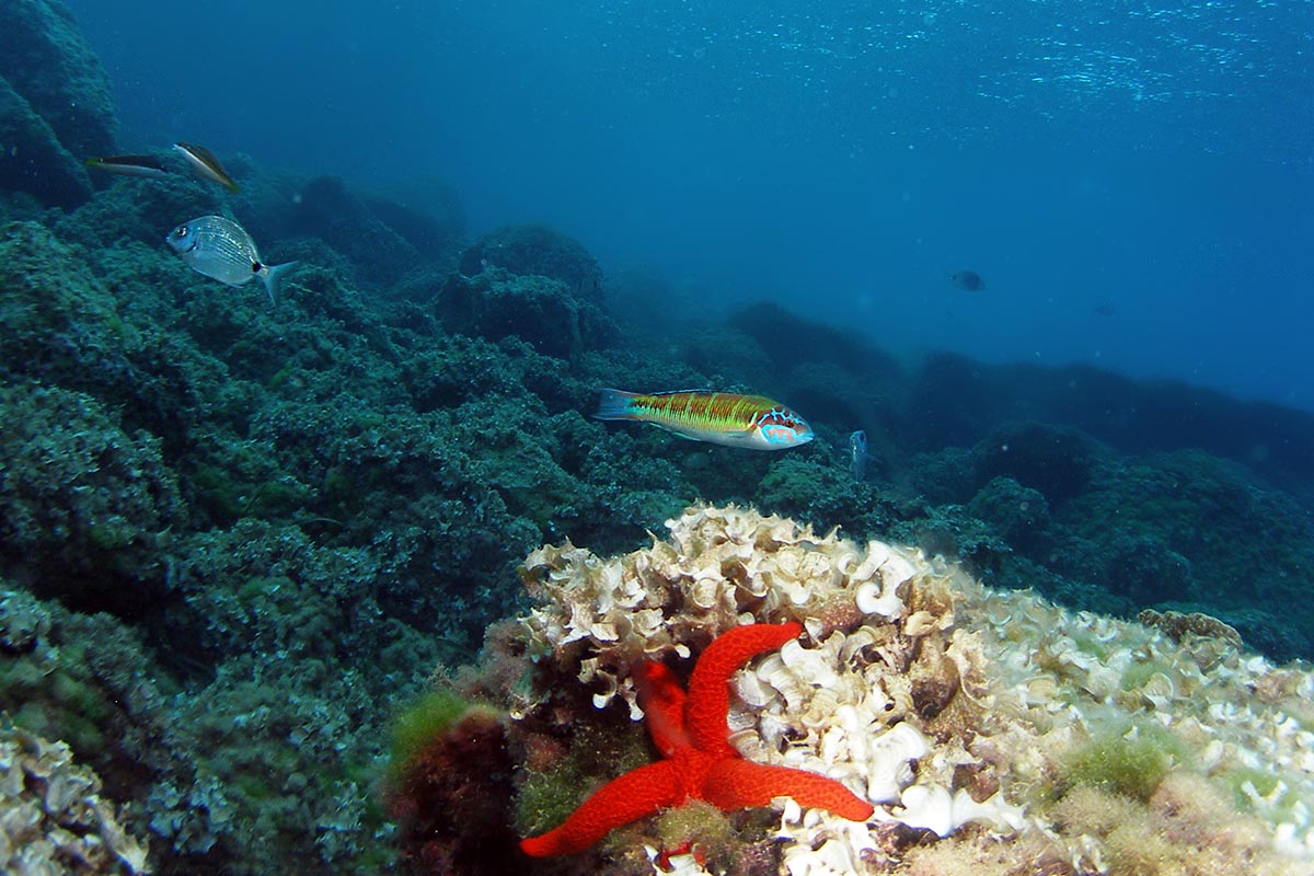
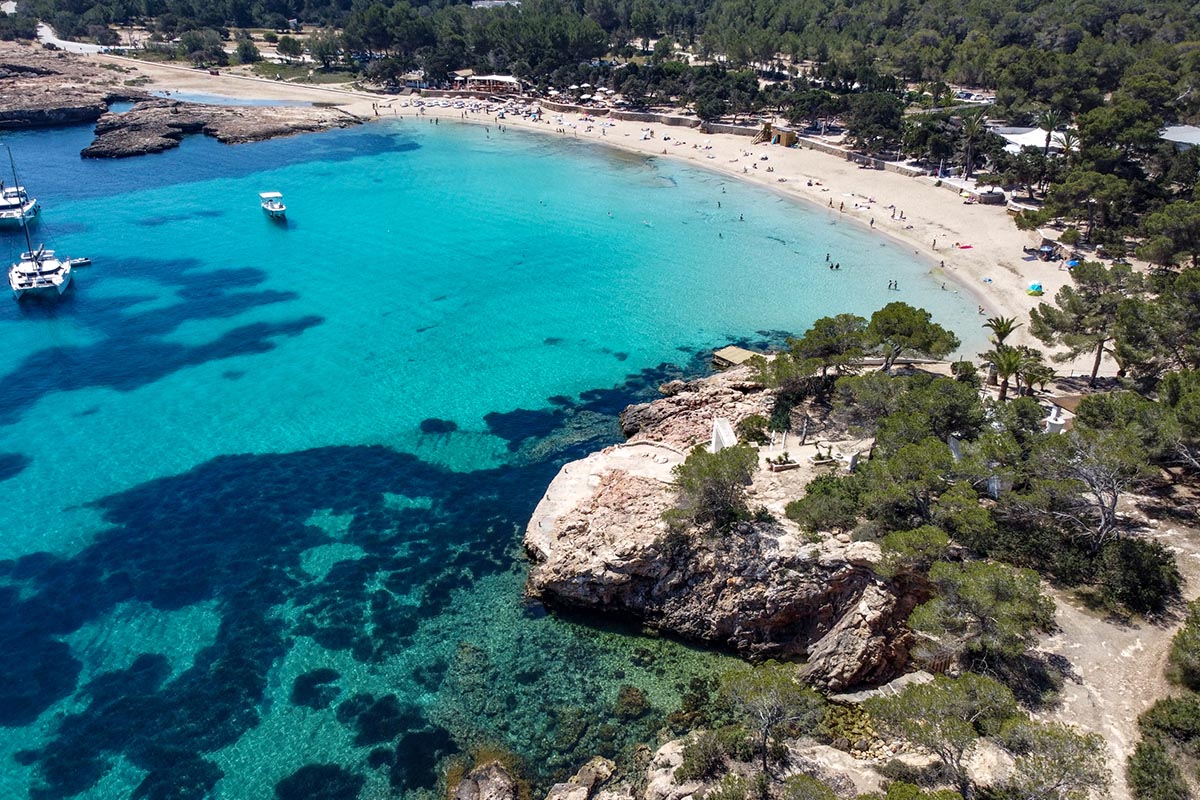
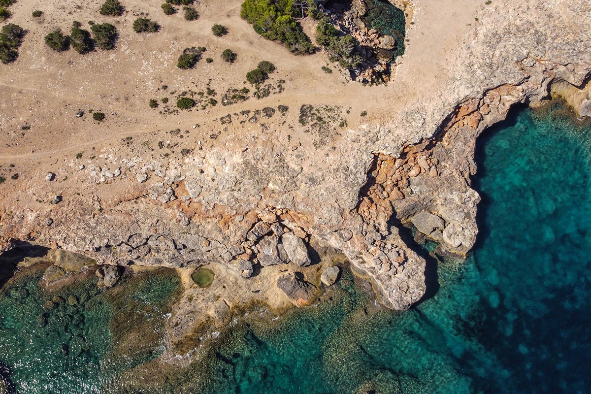
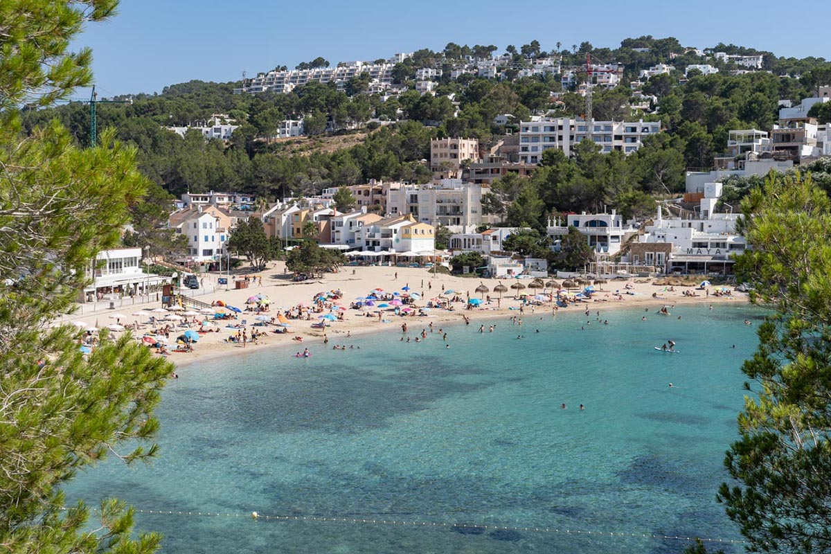
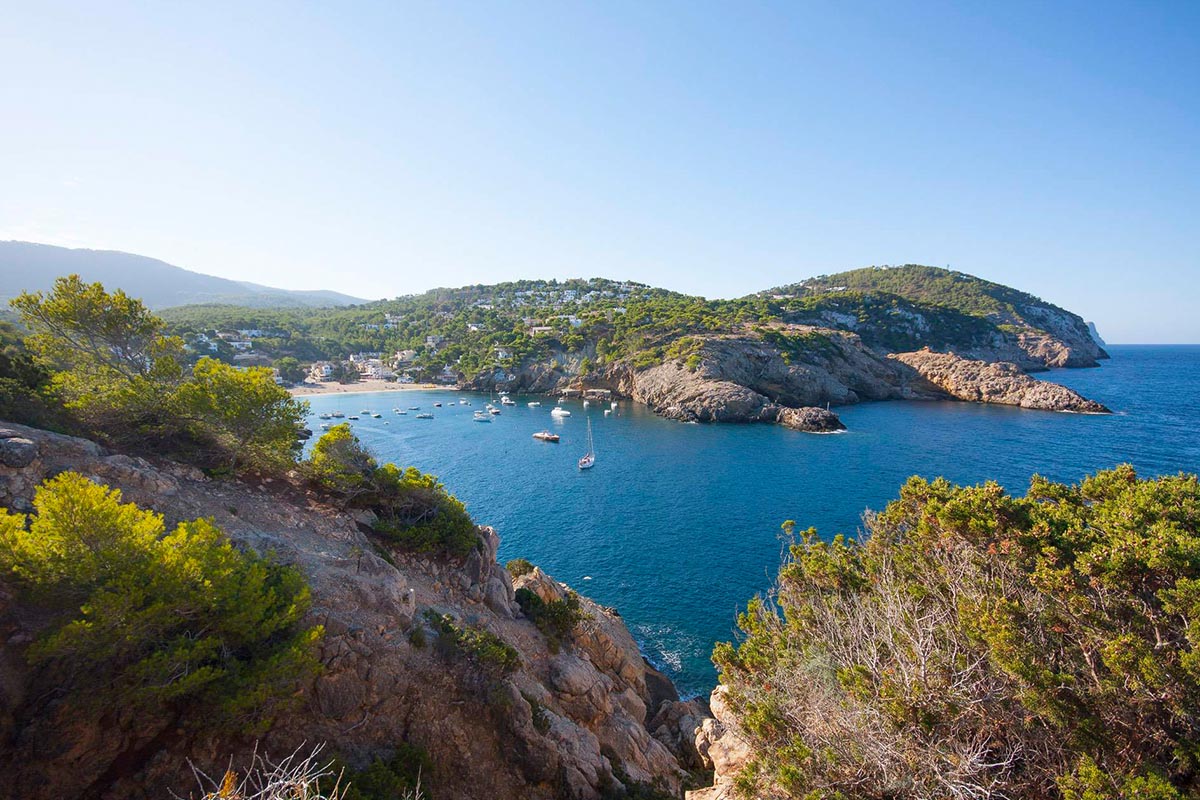
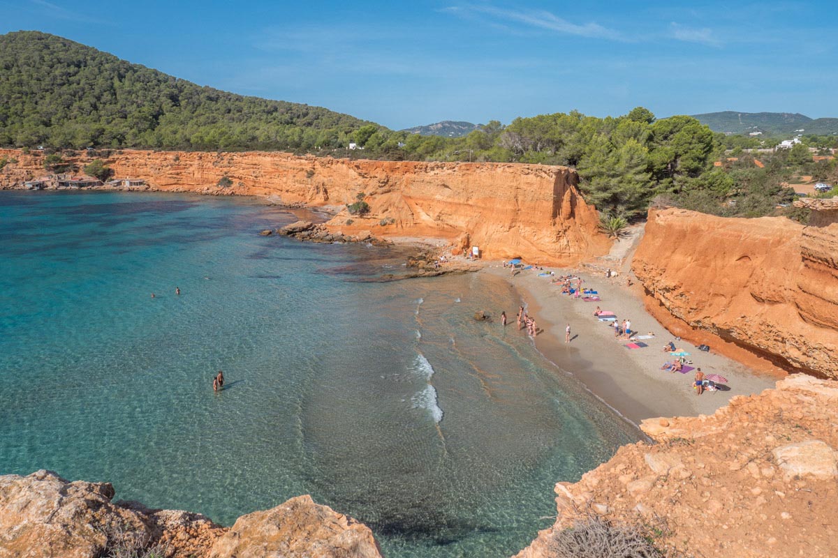
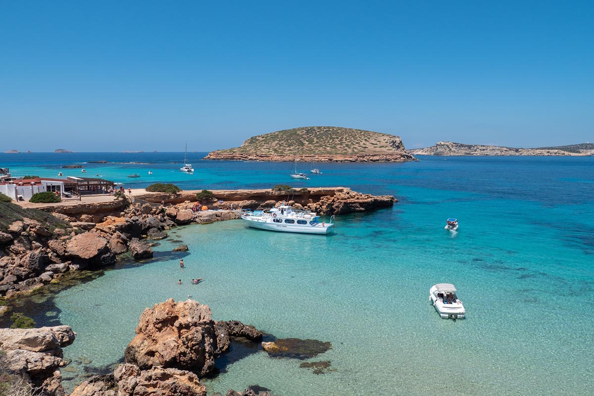
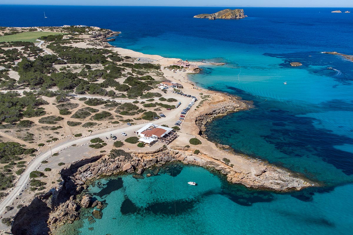
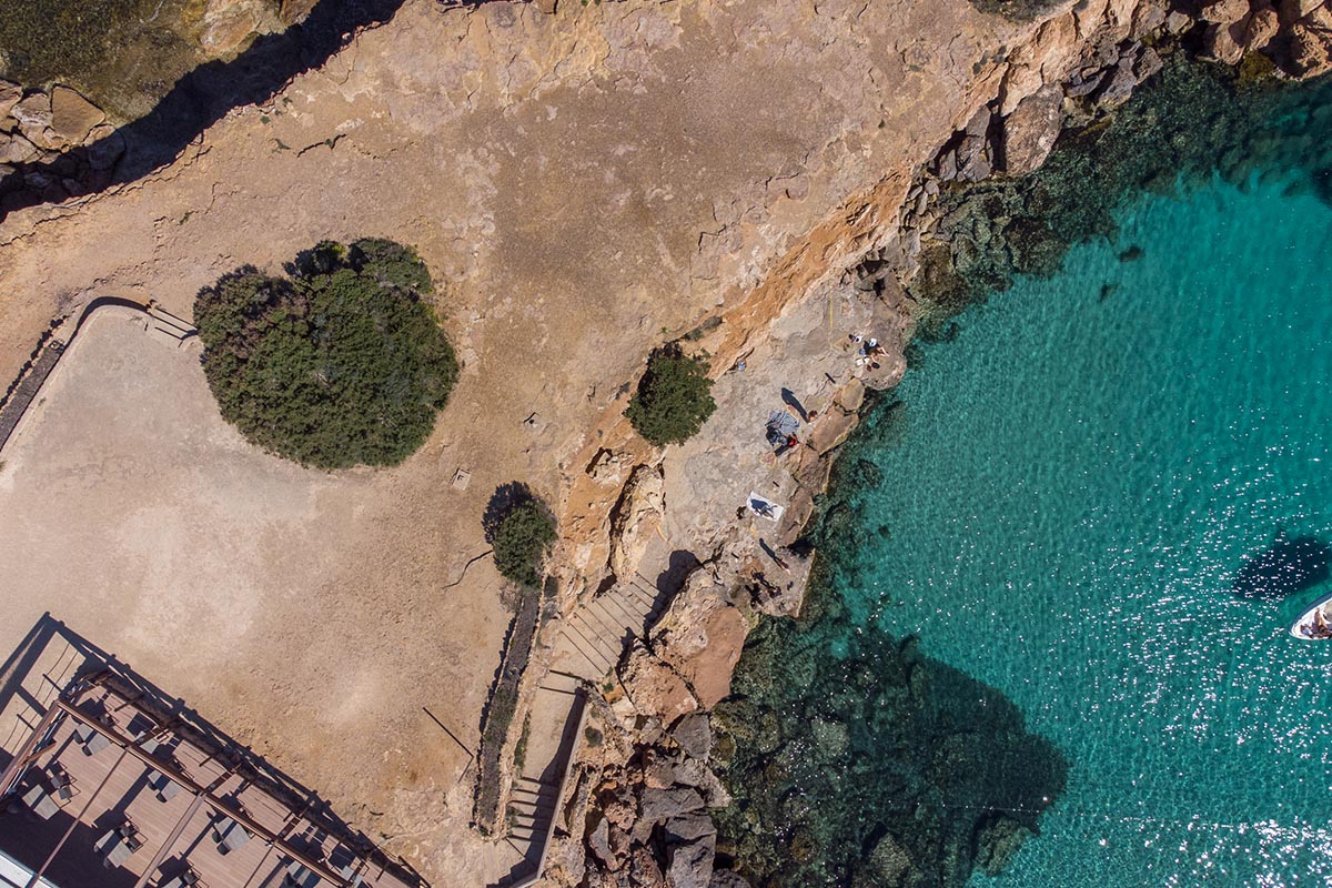
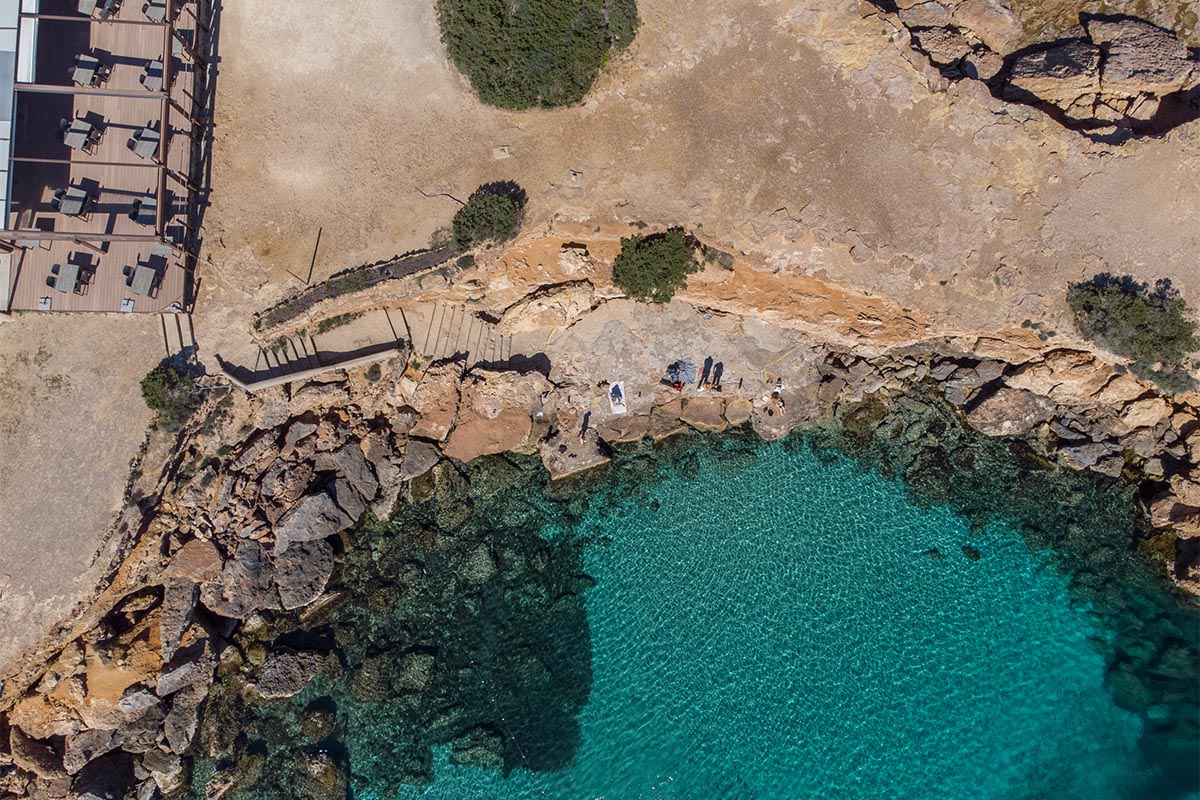
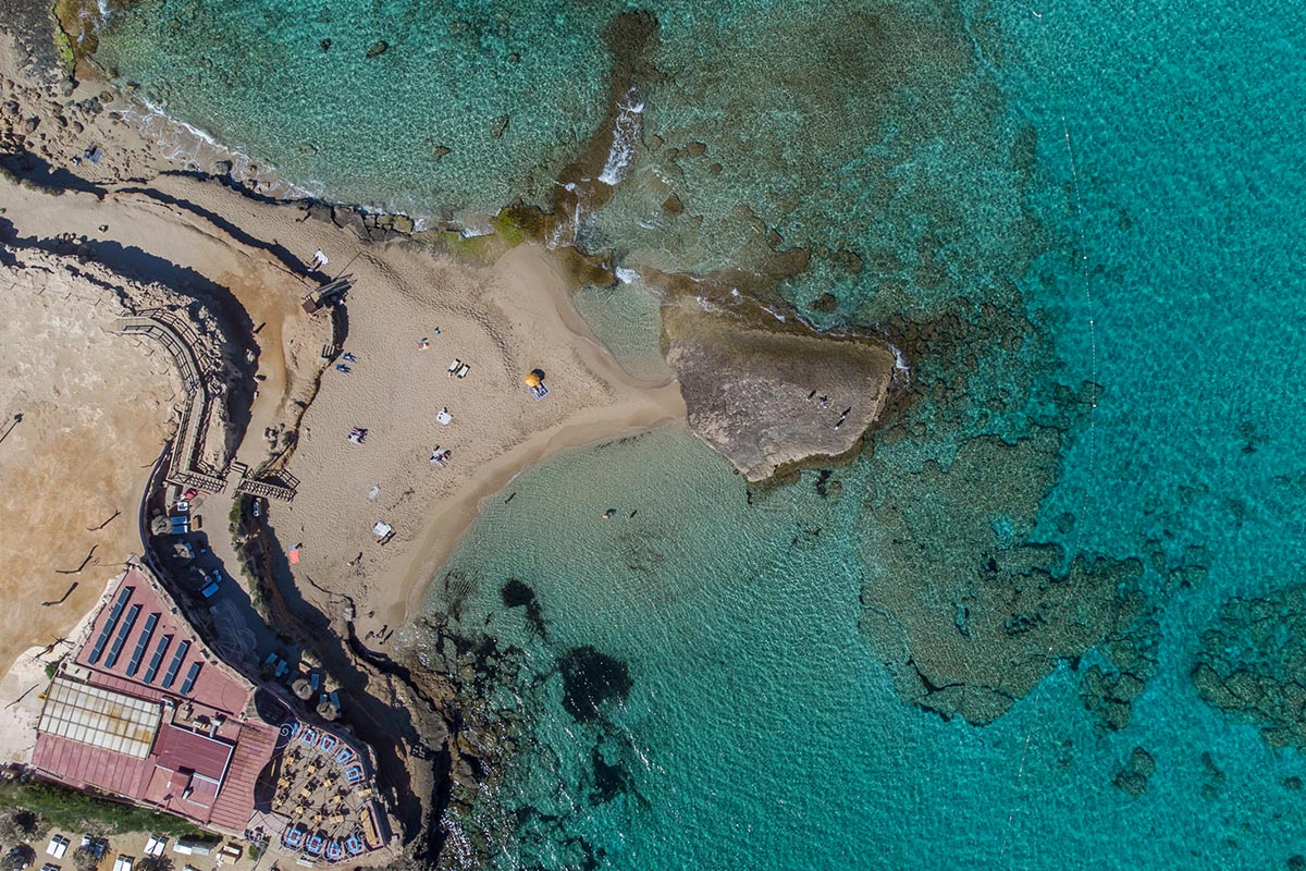
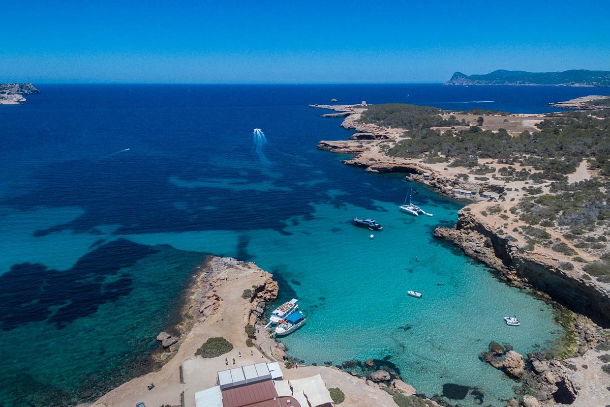
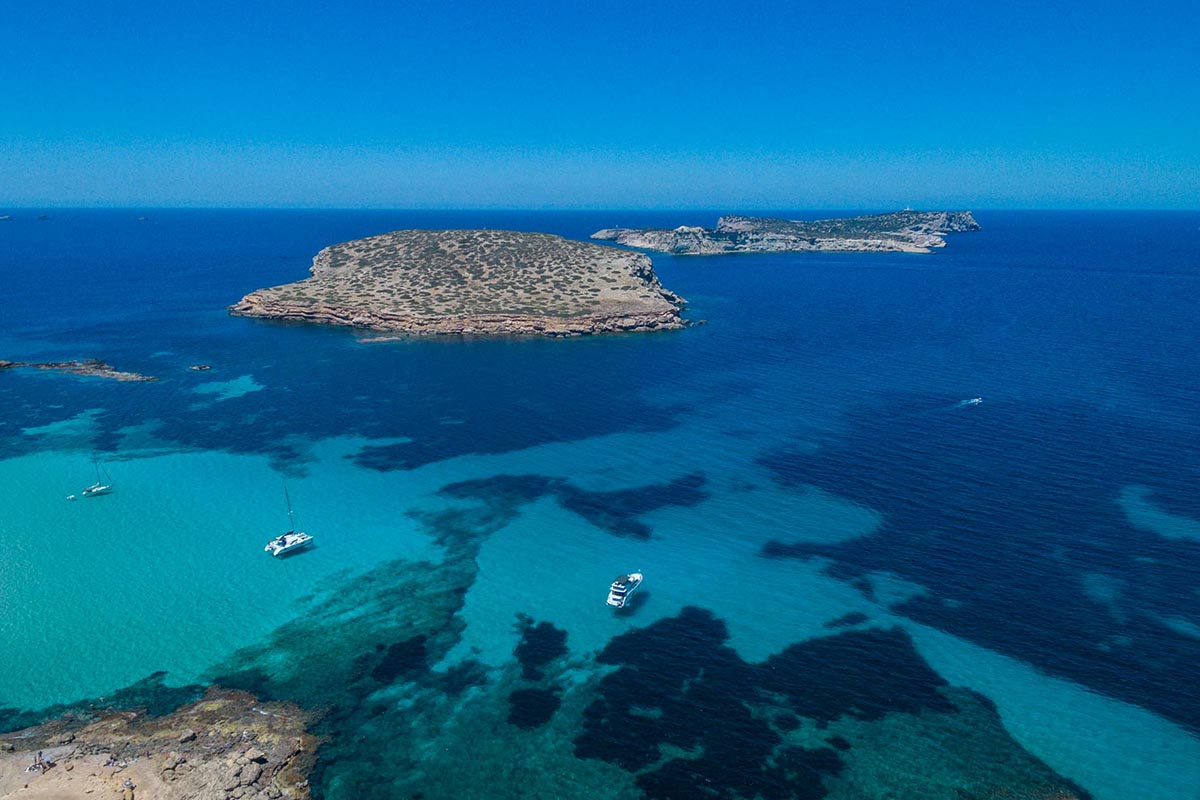
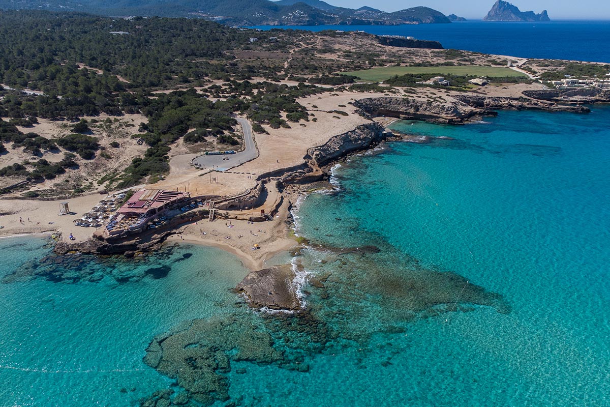
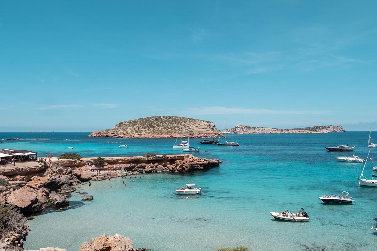
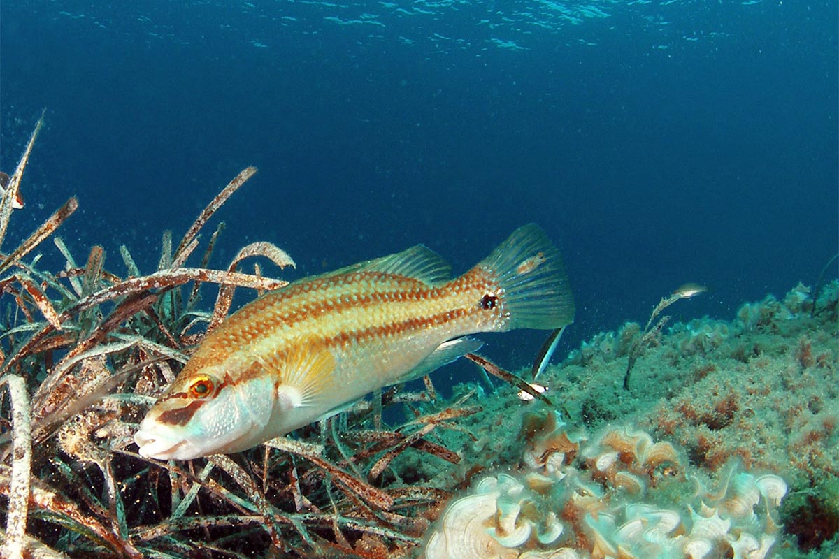
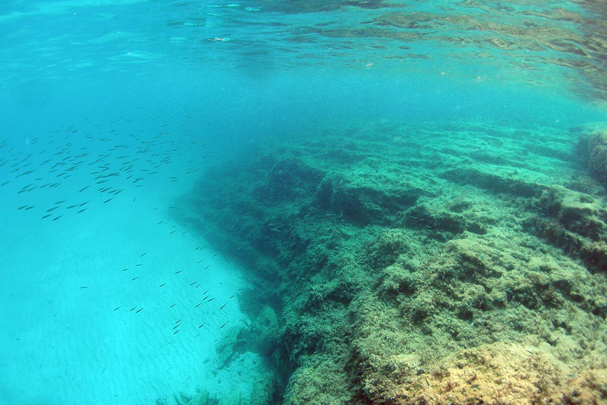
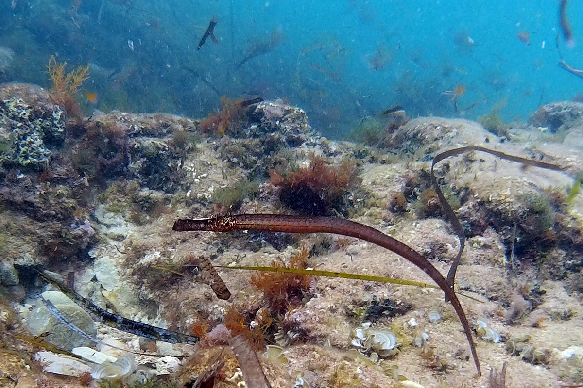
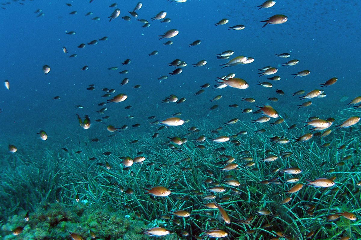
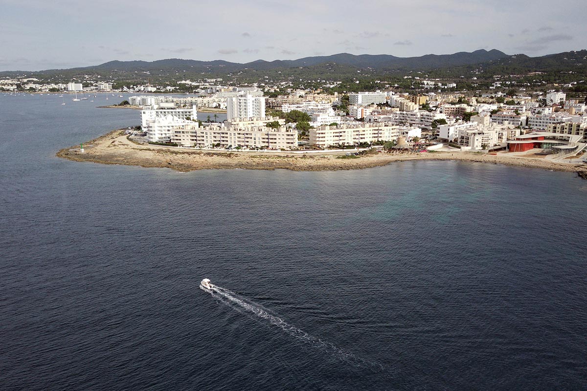
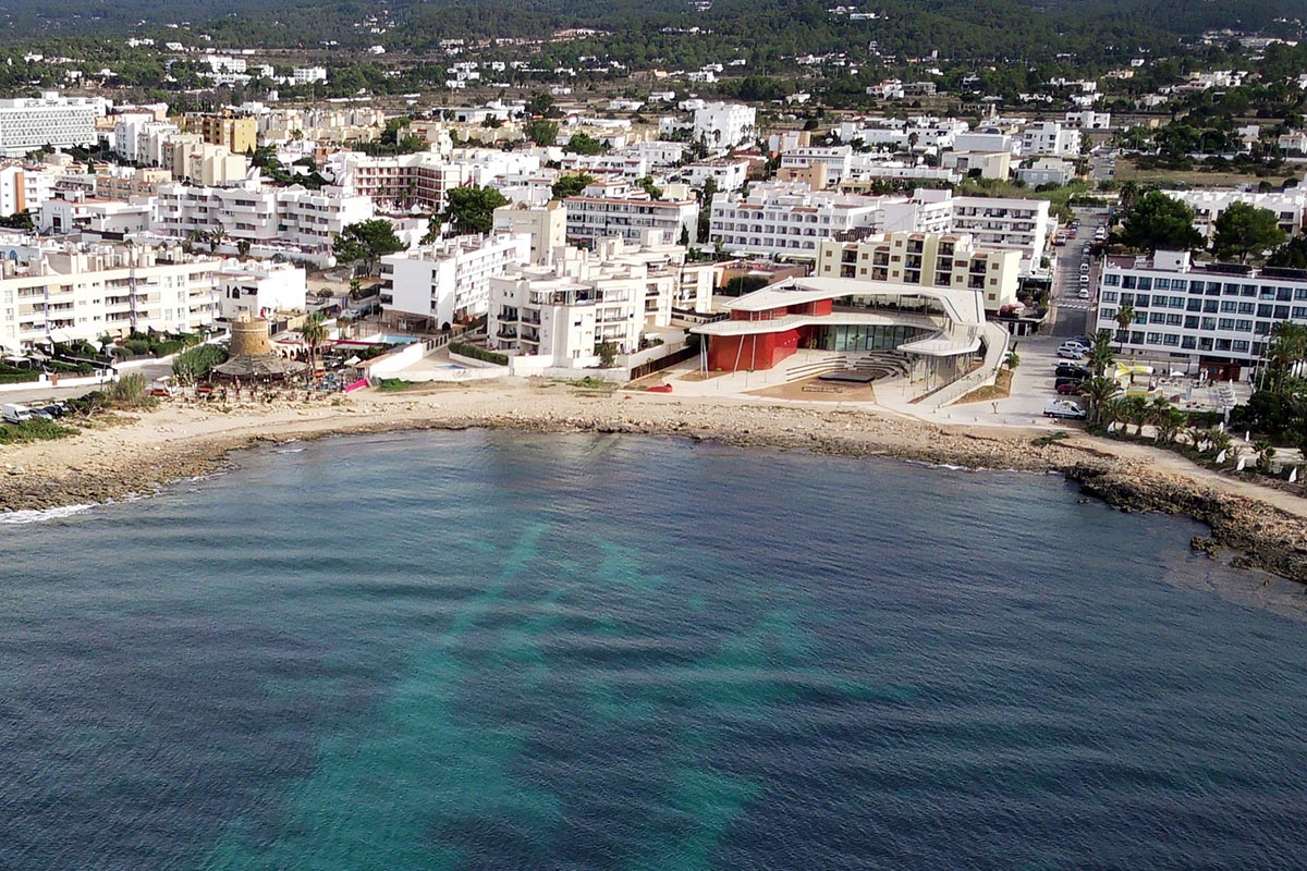
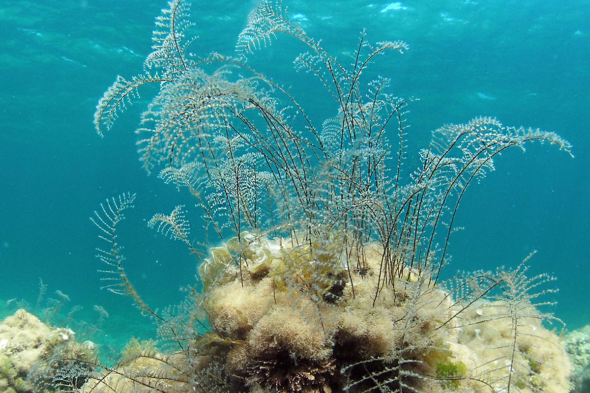
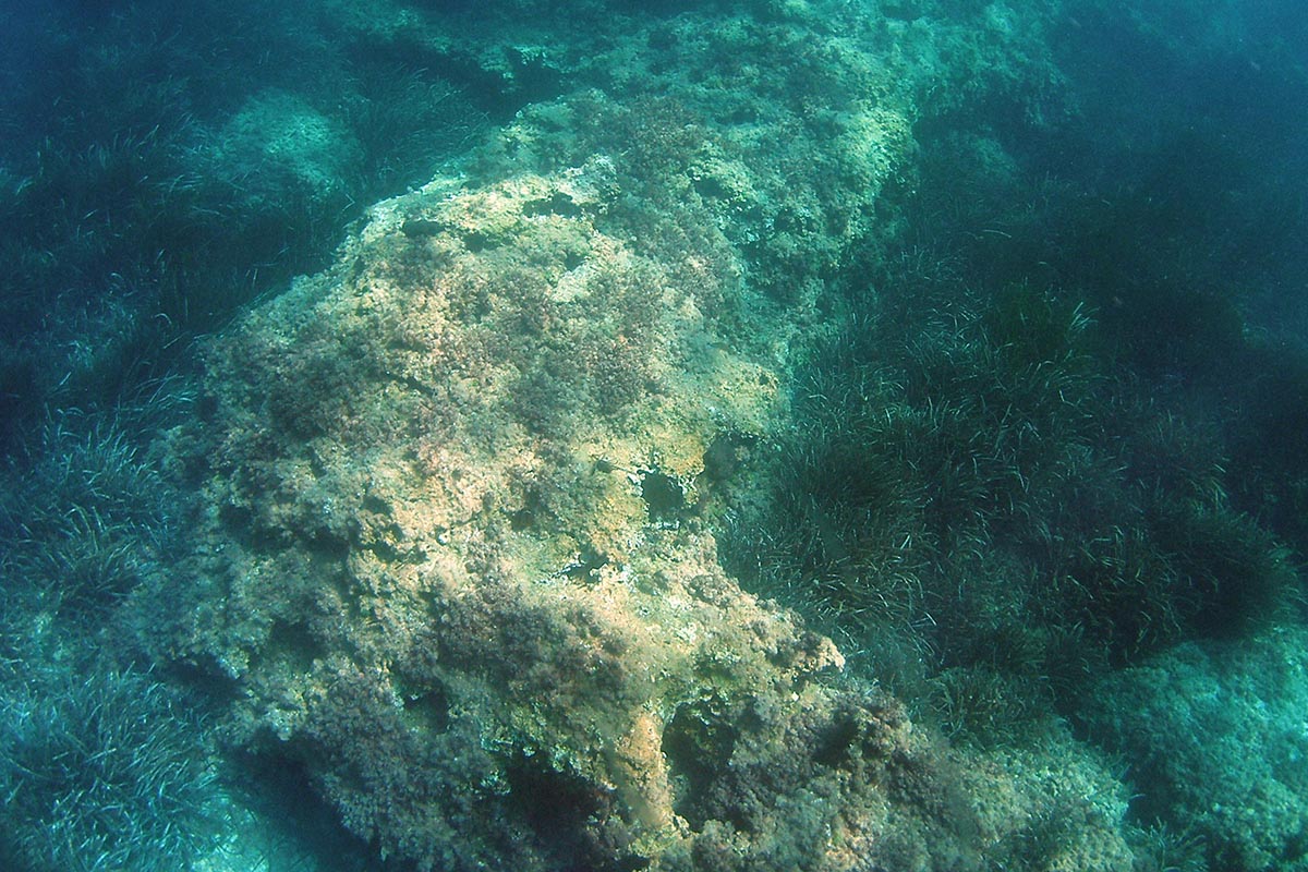
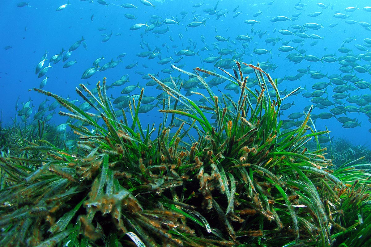
The cosmopolitan and famous beach of Ses Salines and Es Cavallet beach. You can begin the route at either of the two ends and there are alternative trails that pass through wooded areas and along the edges of the saltpans that face eastwards. It is an easy trail that does not require much effort, so all that you would need to take is some water and make sure that you wear a cap or a hat to protect you from the sun, particularly during the summer.
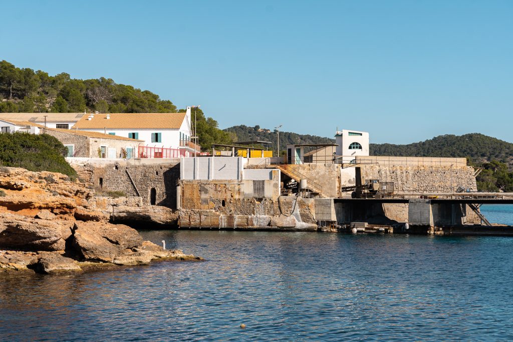
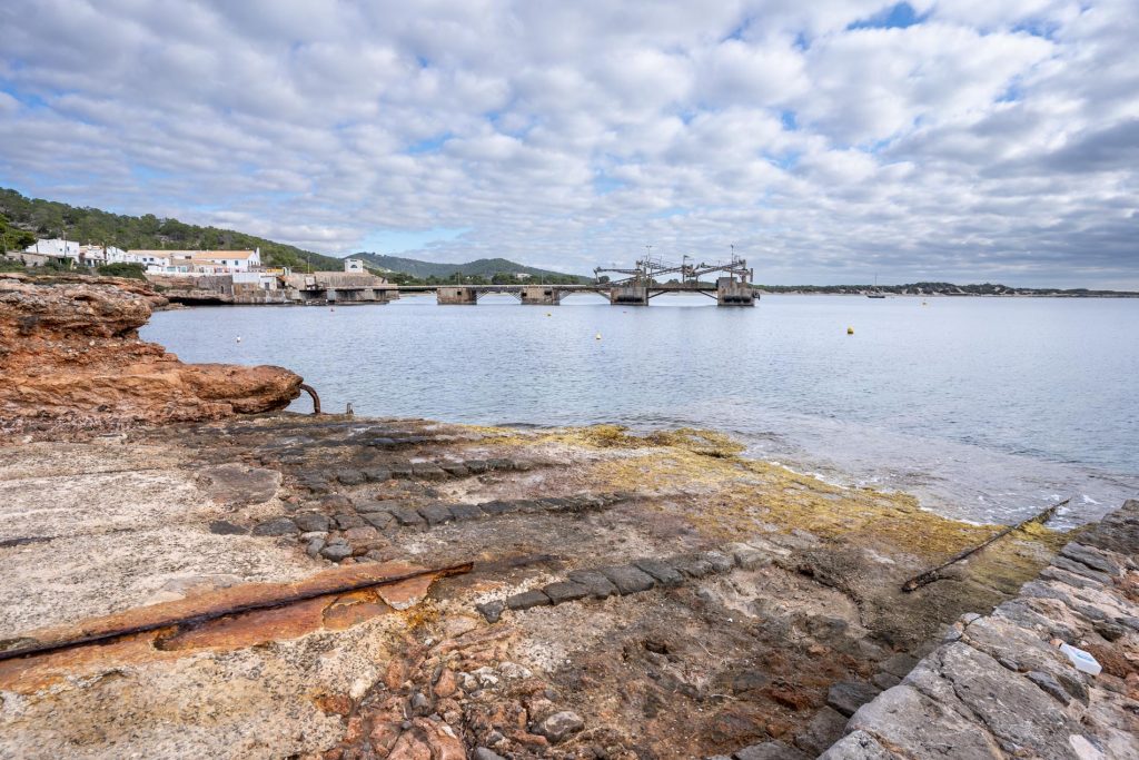
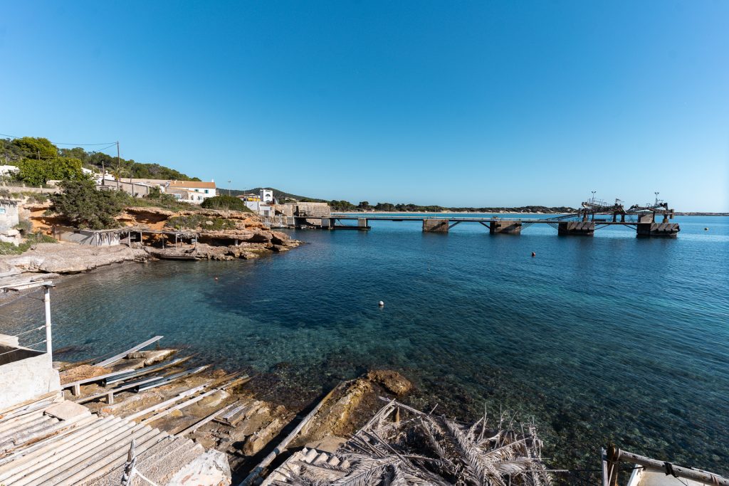
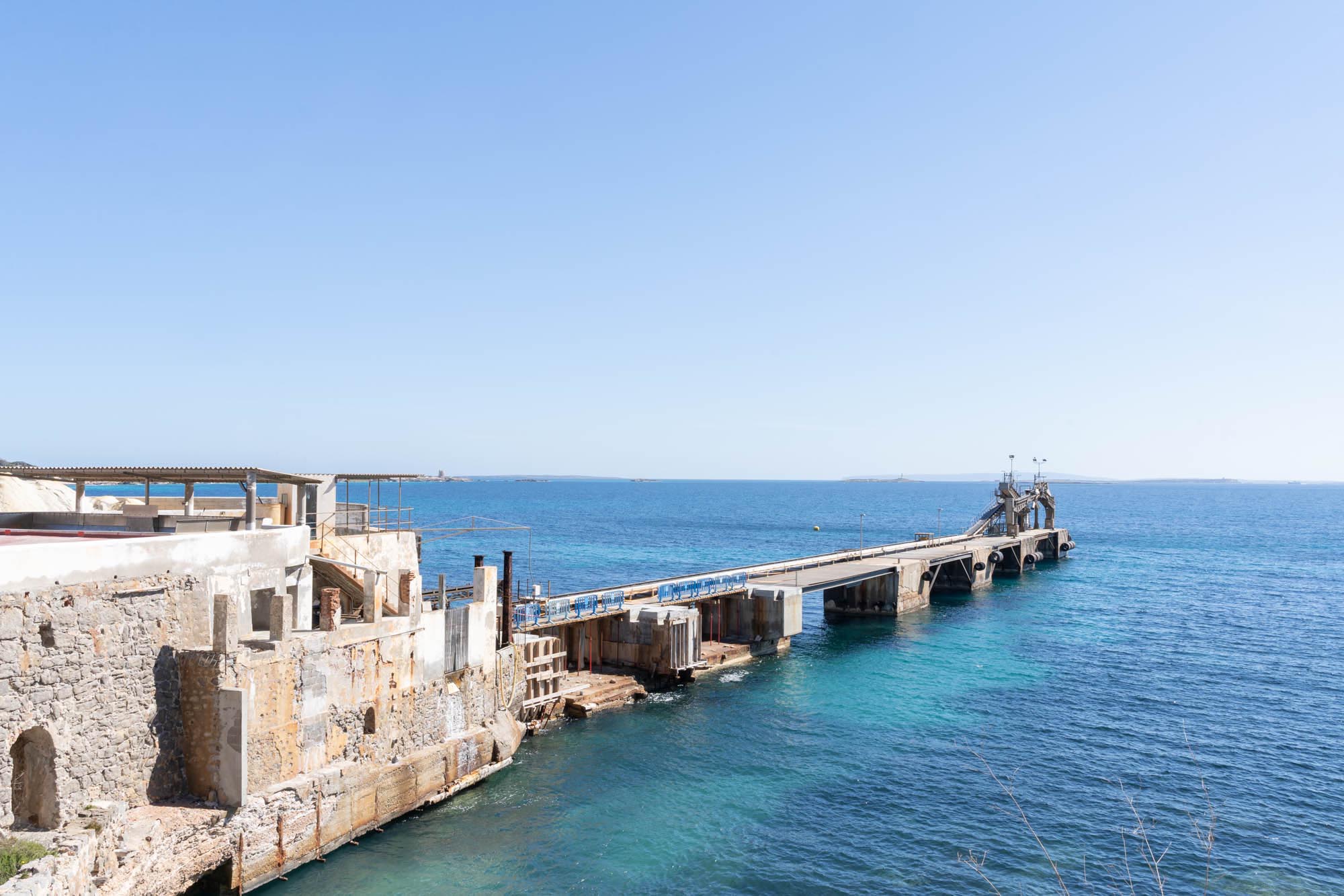
We suggest that you begin the route at Sa Canal, a tiny village of little houses and stores that grew up as the salt industry developed between the 19th and 20th centuries. The place has a special charm with its classic architecture, gabled roofs, whitewashed façades and balustrades with porches that shade doors and windows painted emerald green. Facing the sea and leading into the water is the pier equipped with all the machinery needed to load the salt on the boats moored in the dock.
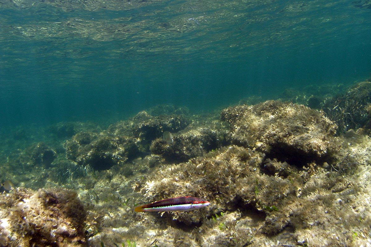
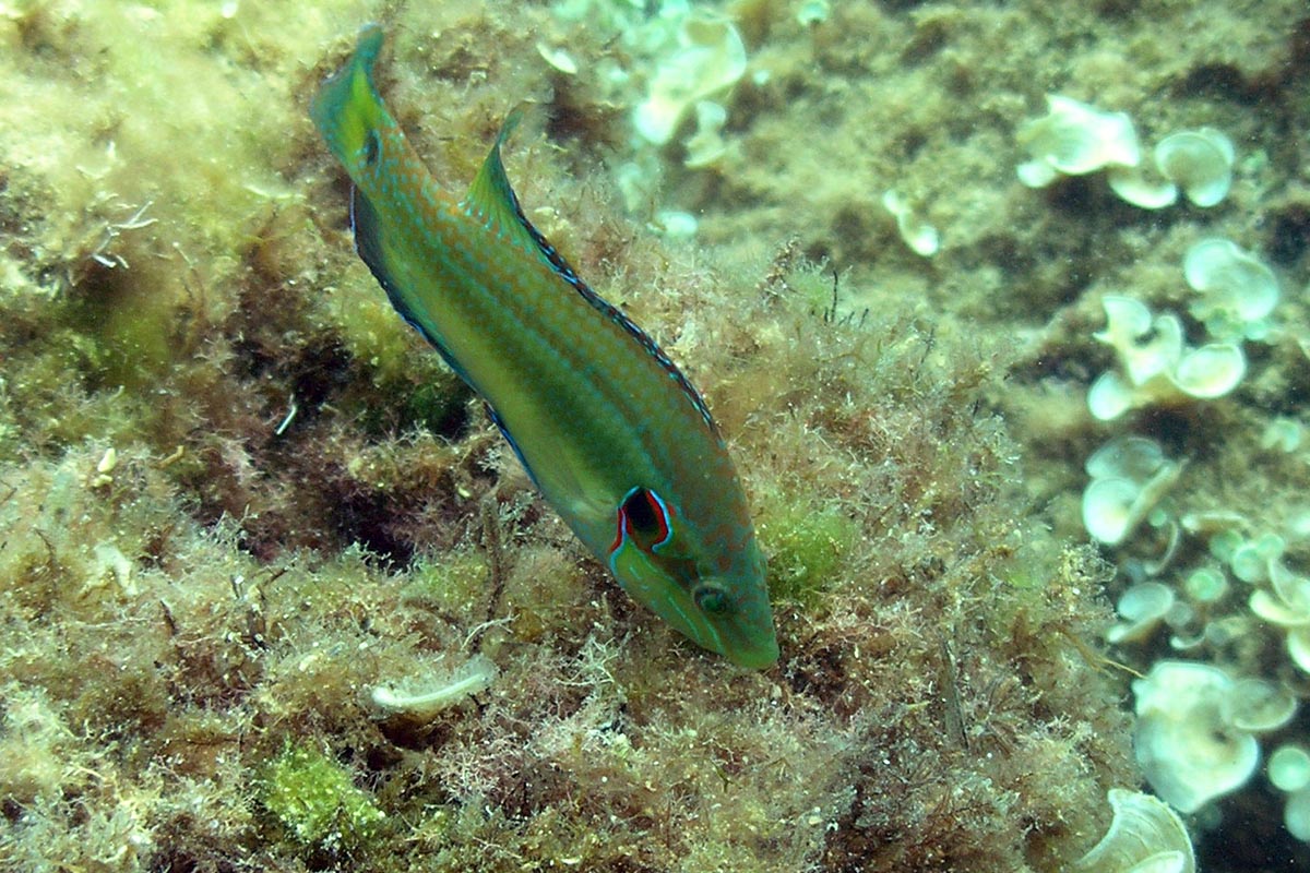
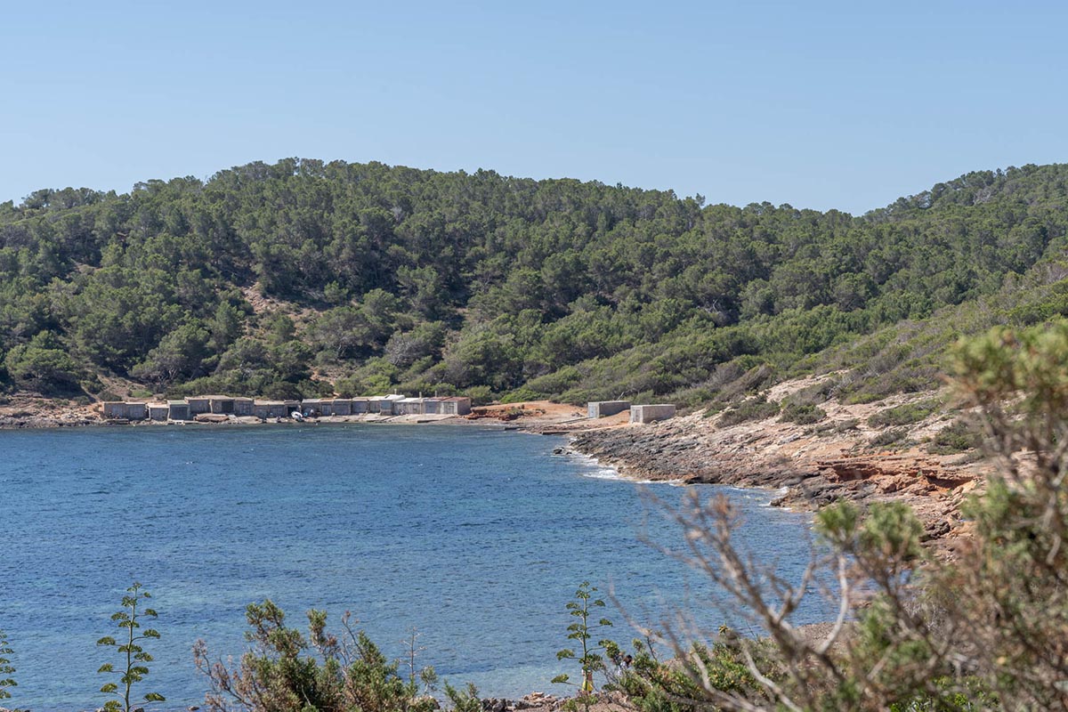
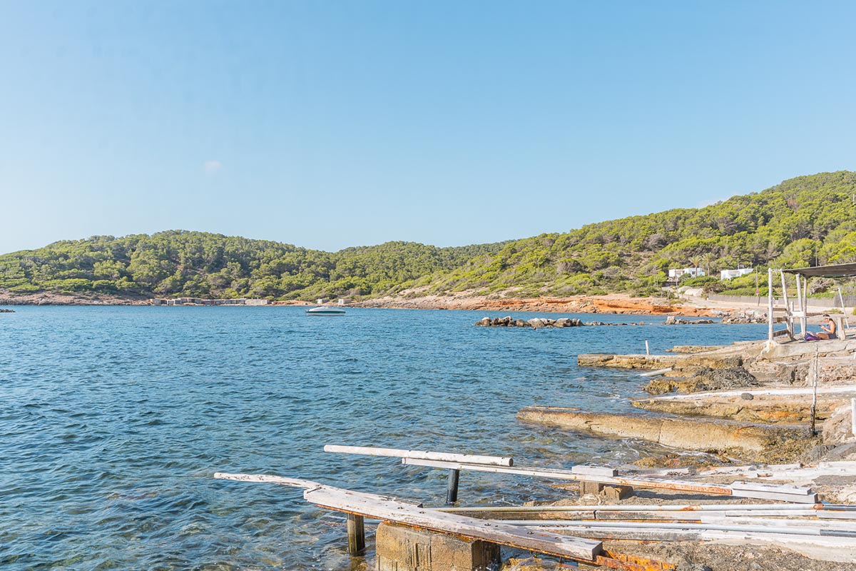
Images of the route
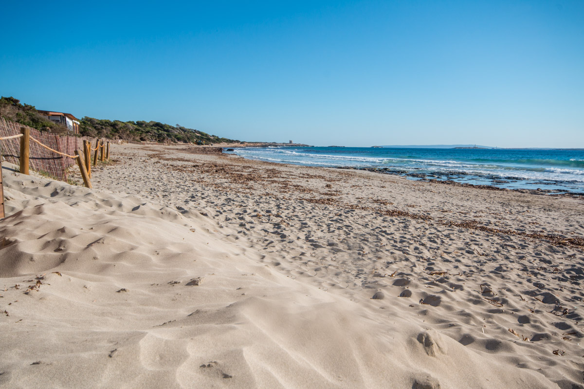
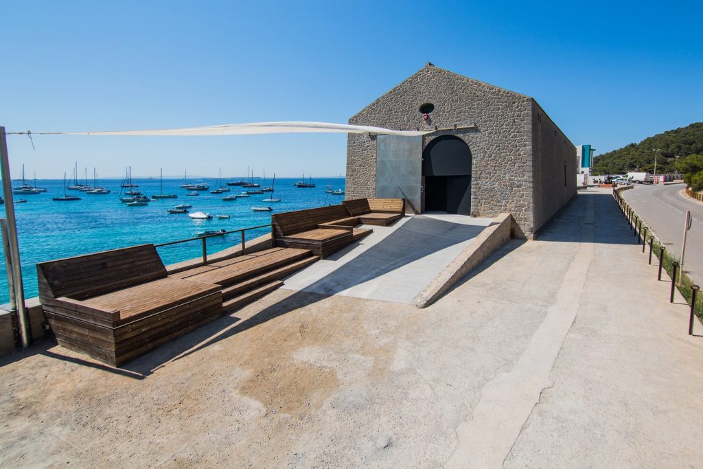
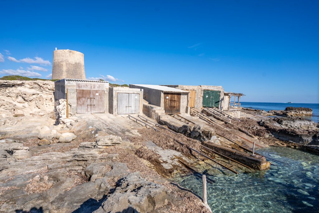
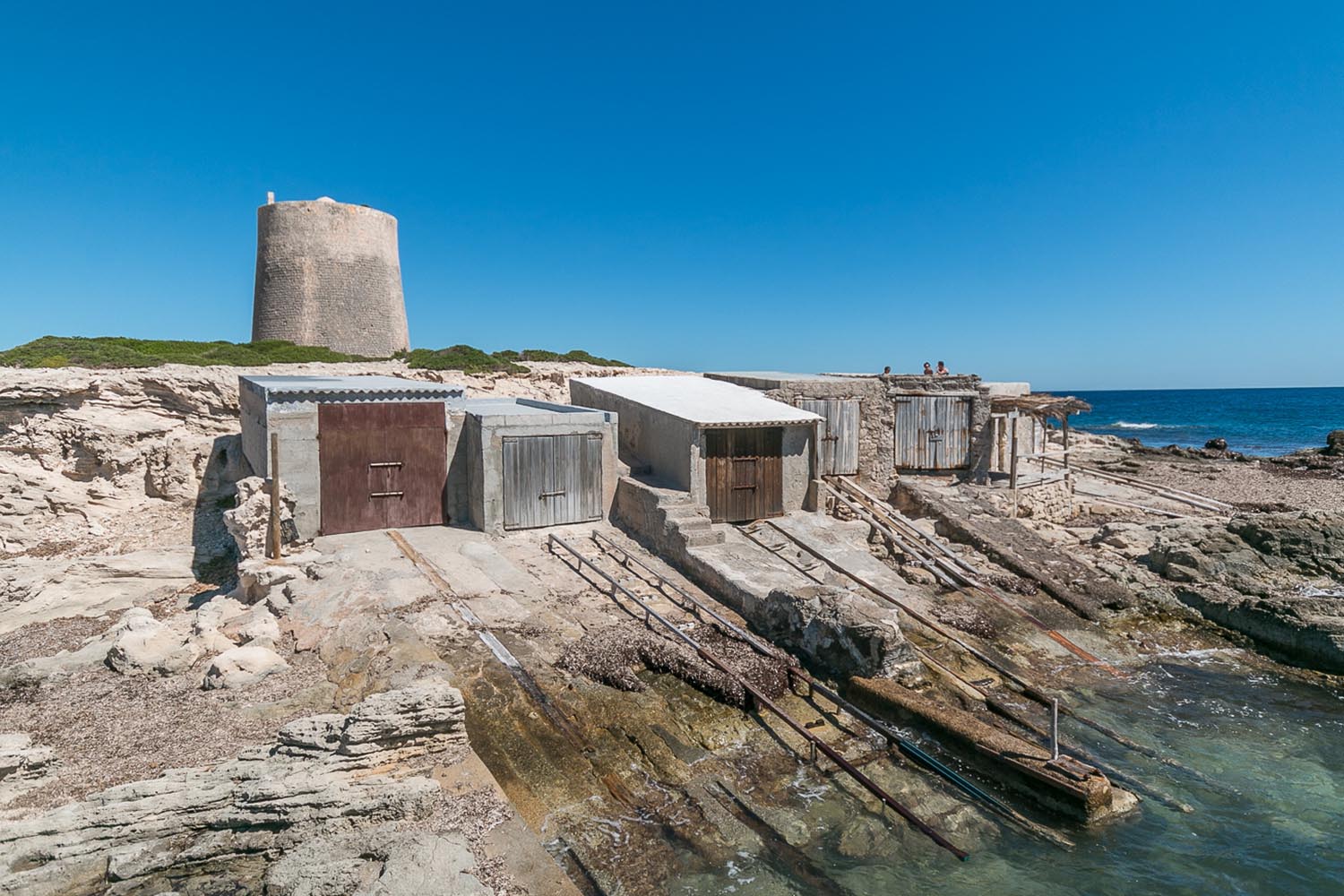
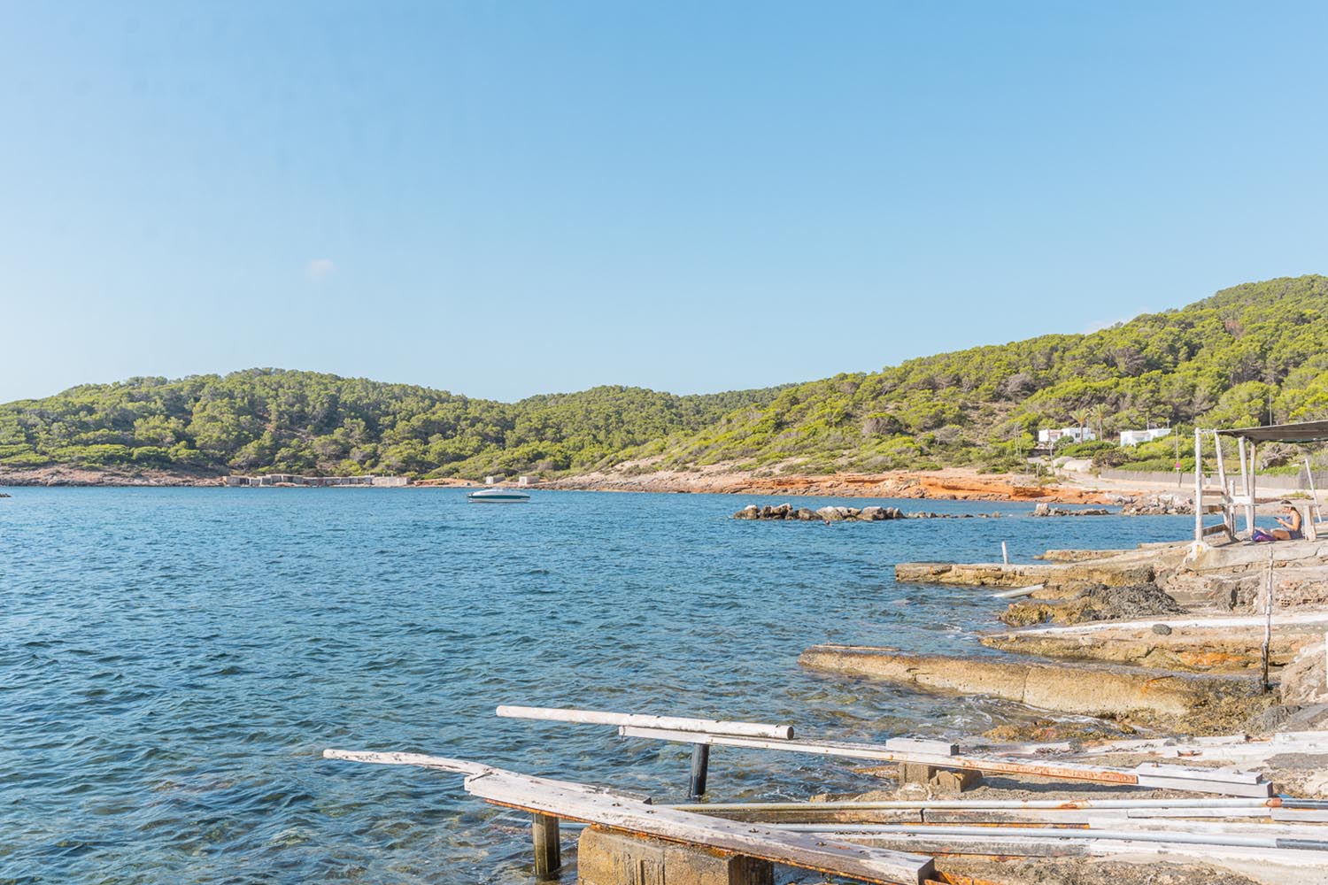
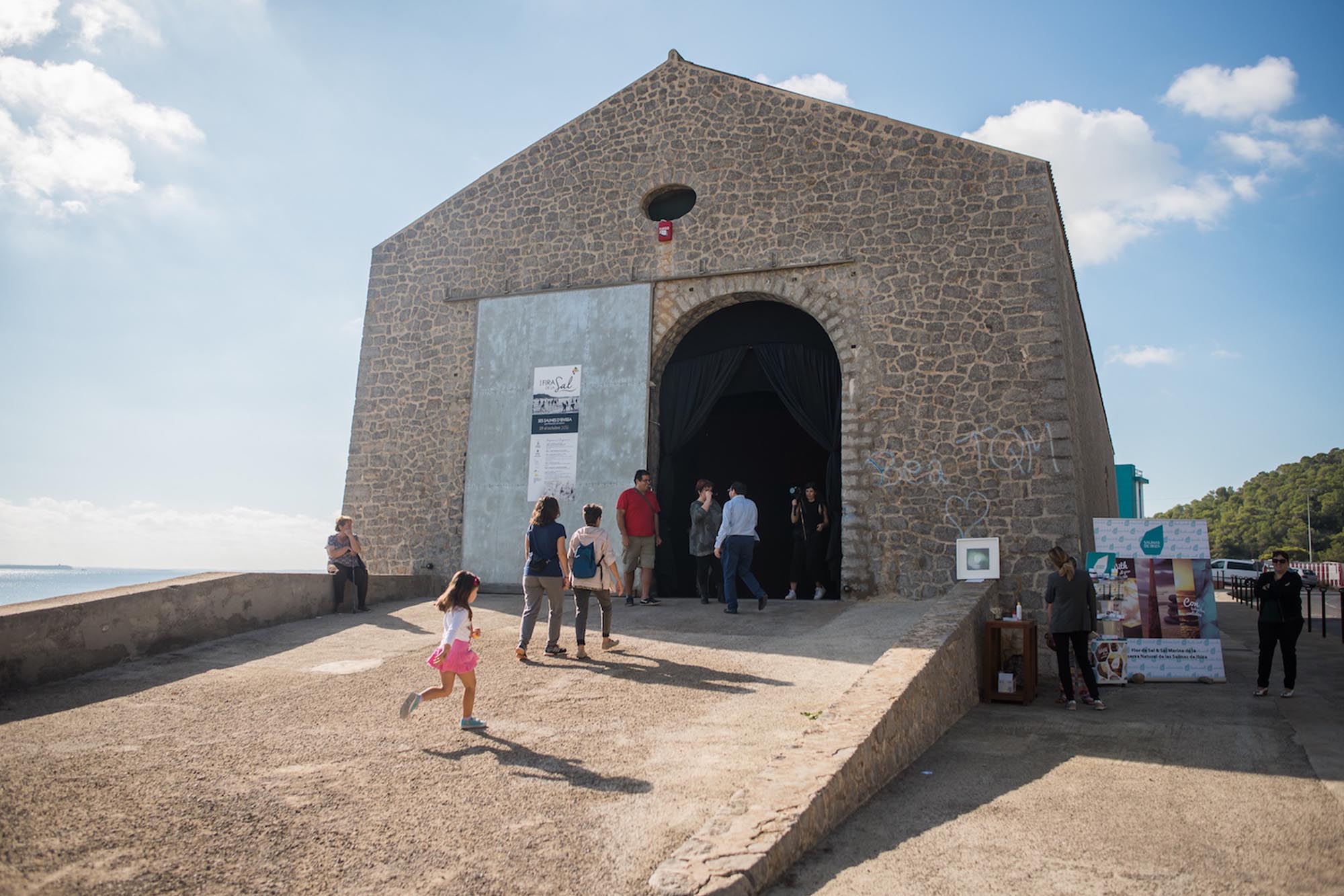
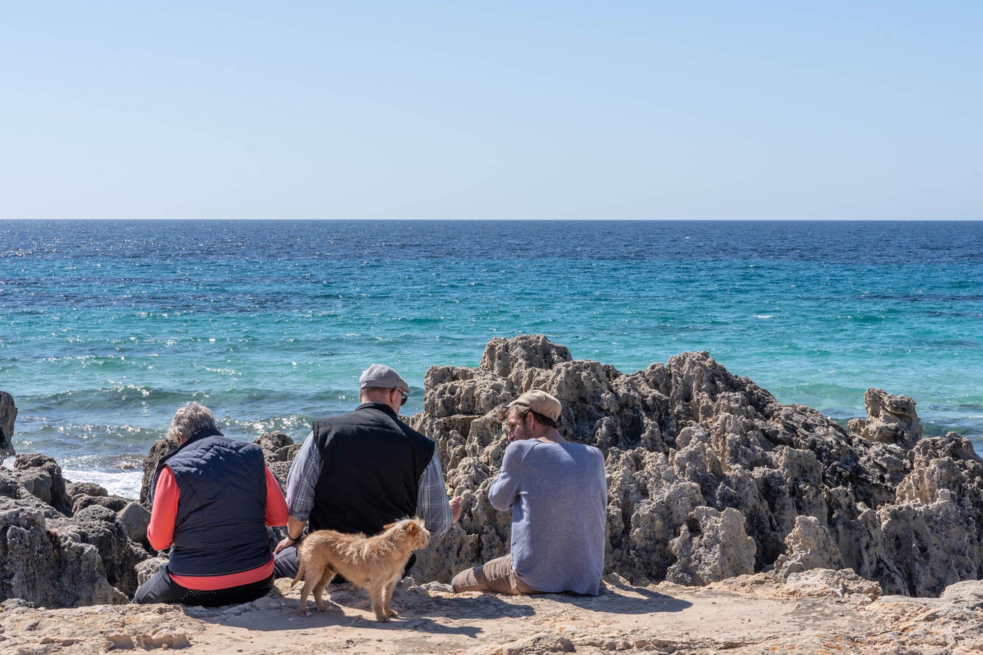
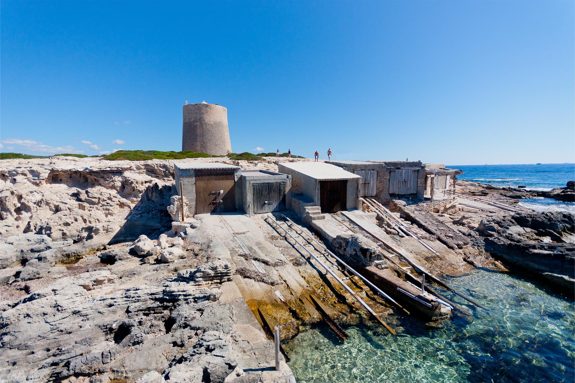
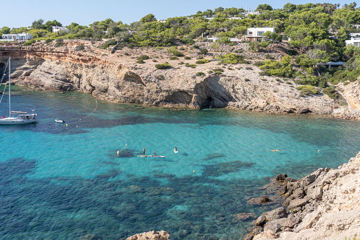
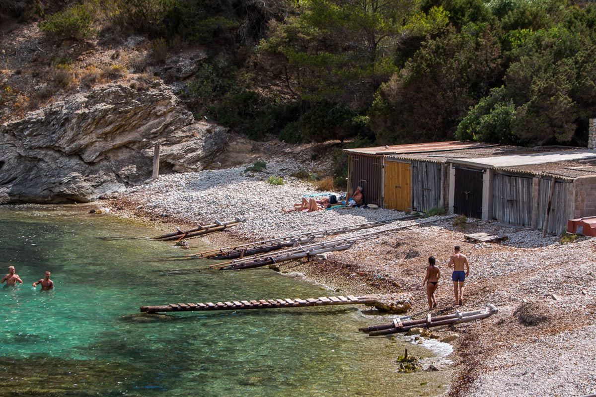
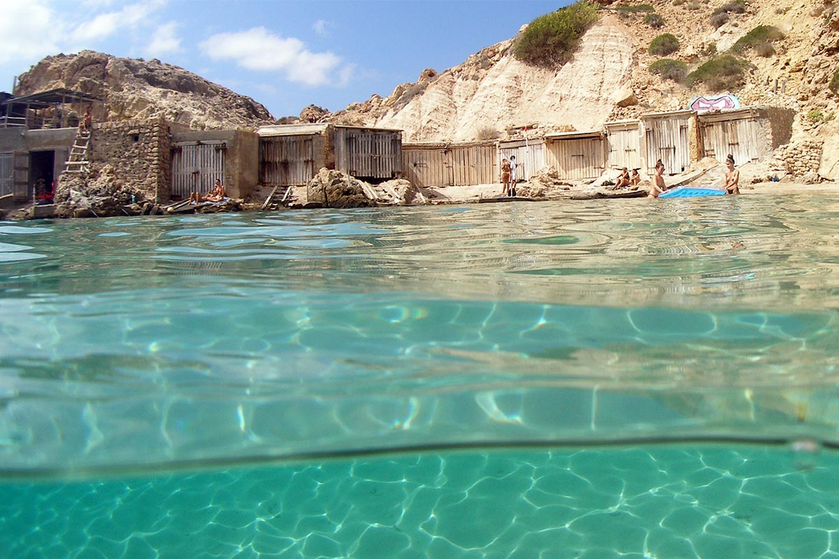
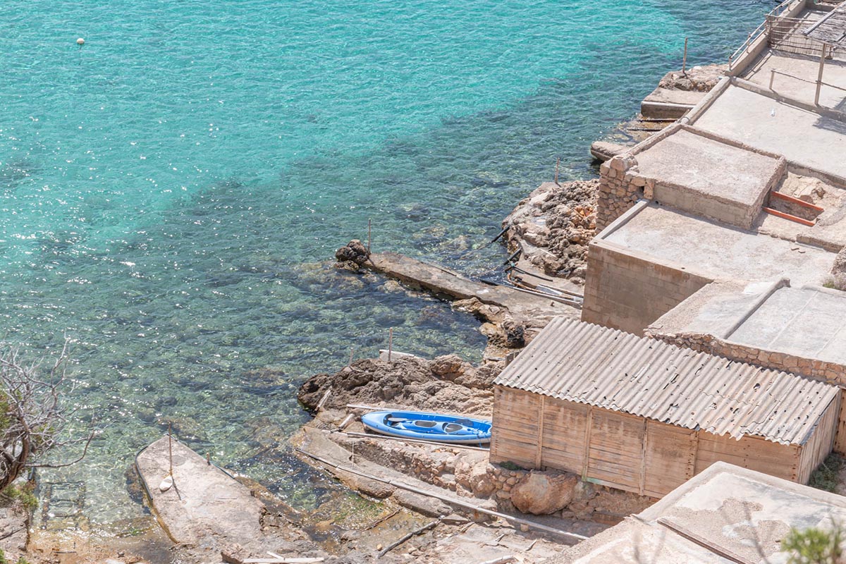
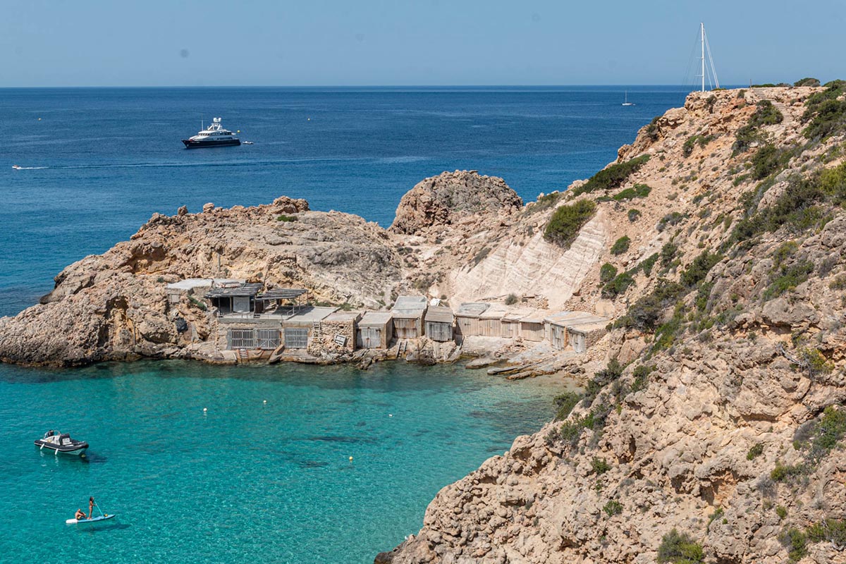
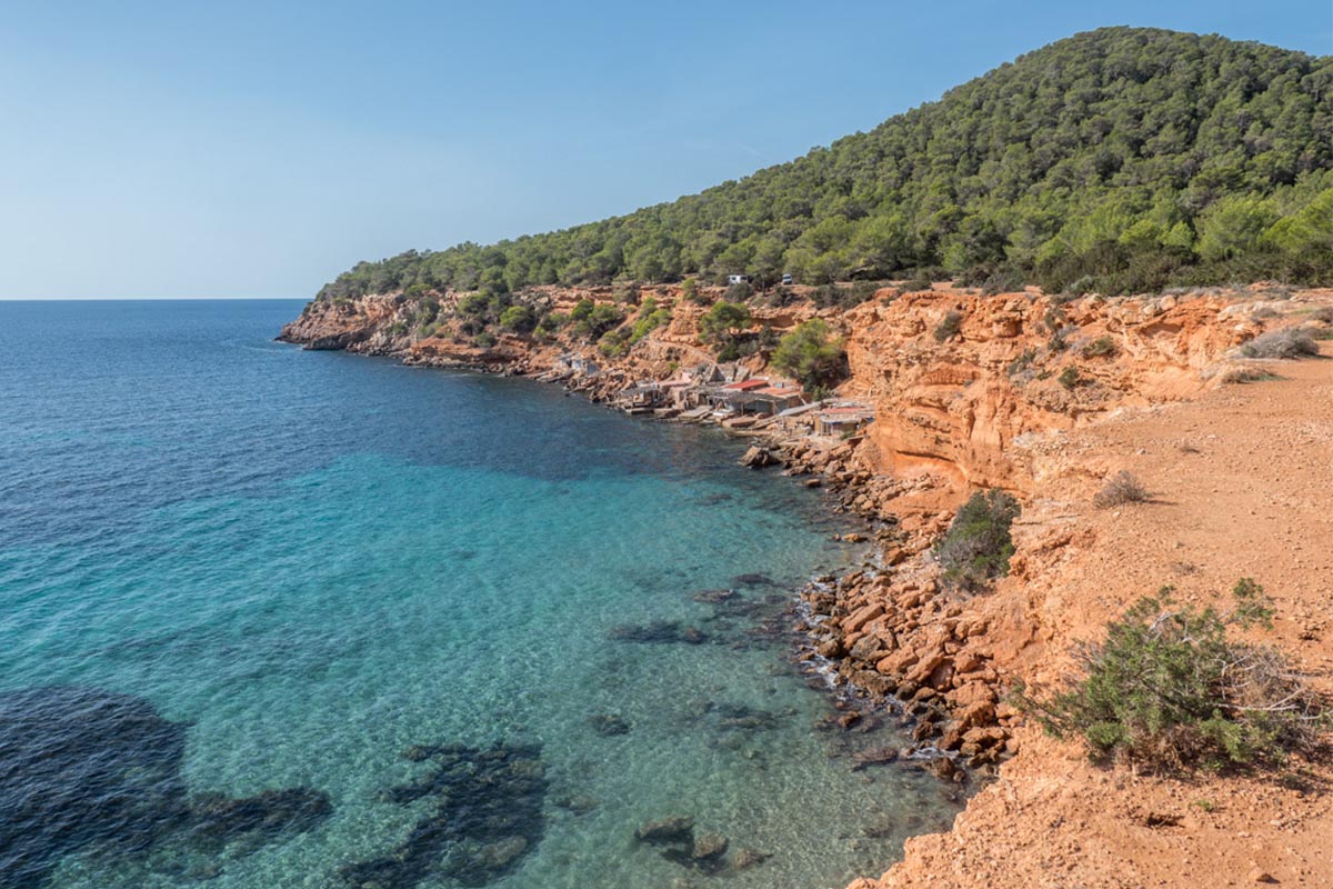
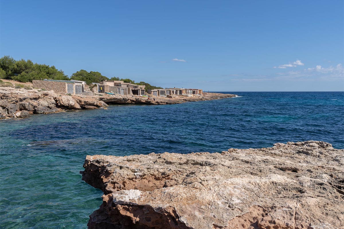
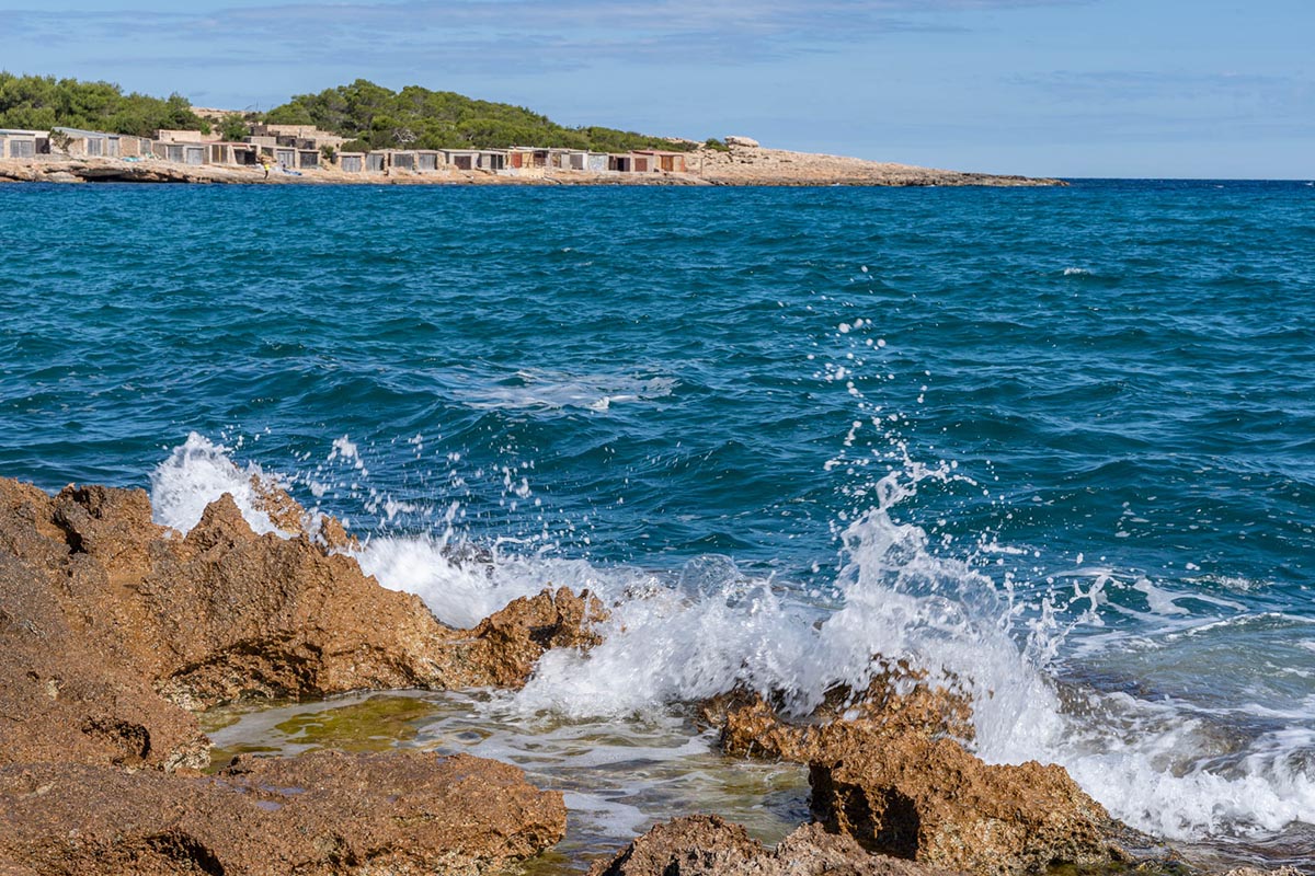
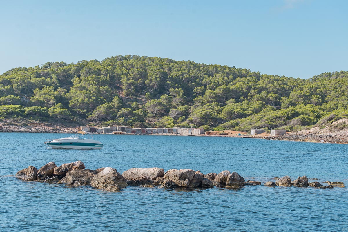
Looking westwards, a few metres from here, you will find a little cove with fishermen’s huts and the remaining vestiges of what was once a flourishing salt industry. For example, you can still see the remains of an old barge, stranded on the rocks, and beyond it another wider ramp where there are rails that run into the sea. These are the remains of the boatyard where the salt company repaired and fitted out the barges that were used to transport the salt before the whole process was mechanised. The former salt loading pier, the village of Sa Canal, and the salt port formed the industrial heart of the area with other constructions such as silos, administrative buildings, and large warehouses and stores. Some of these are used for different purposes today, such as the impressive exhibition venue known as “La Nave” (Spanish for warehouse). Close by is the former train line that was used to bring the precious merchandise from the salt pans.
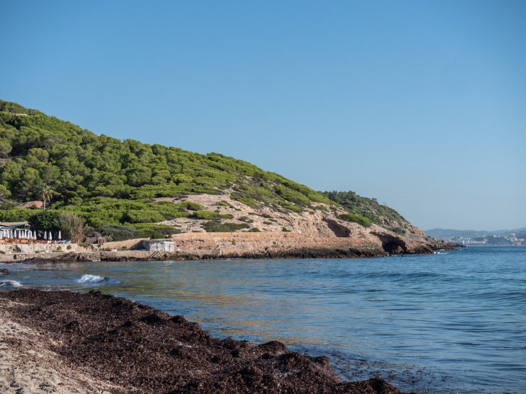
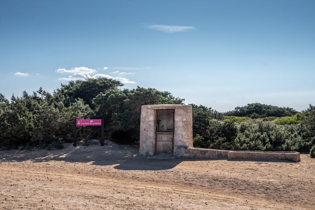
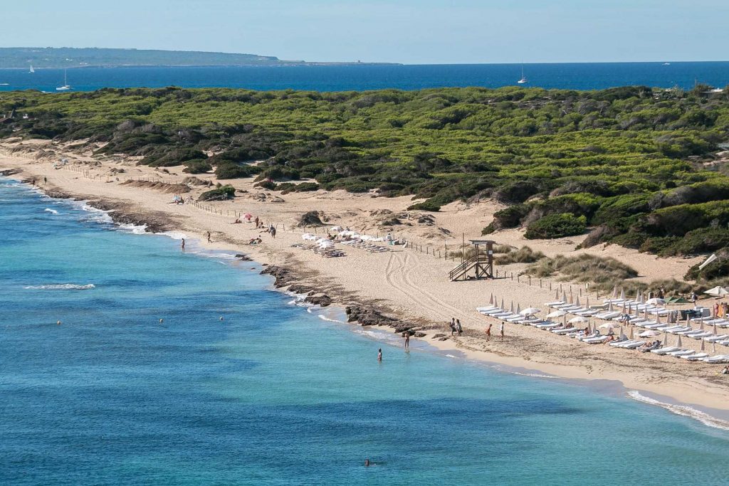
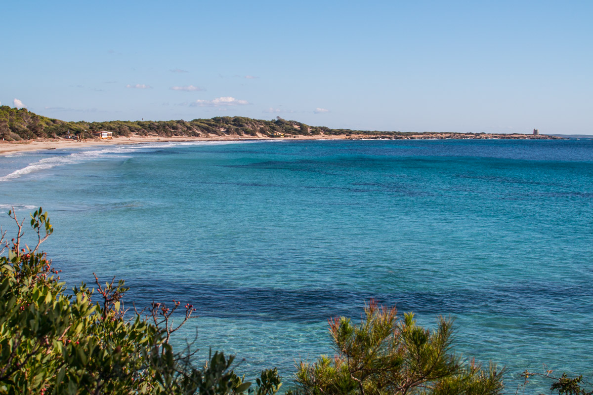
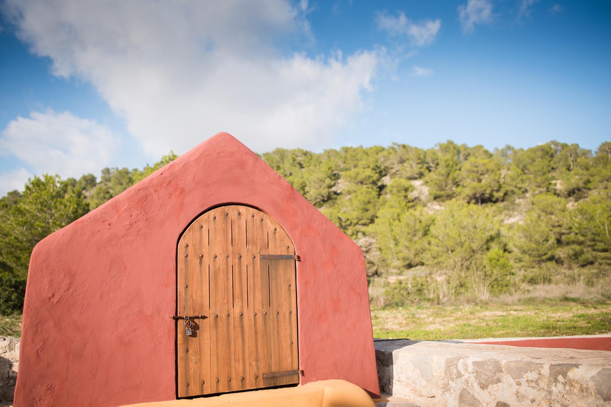
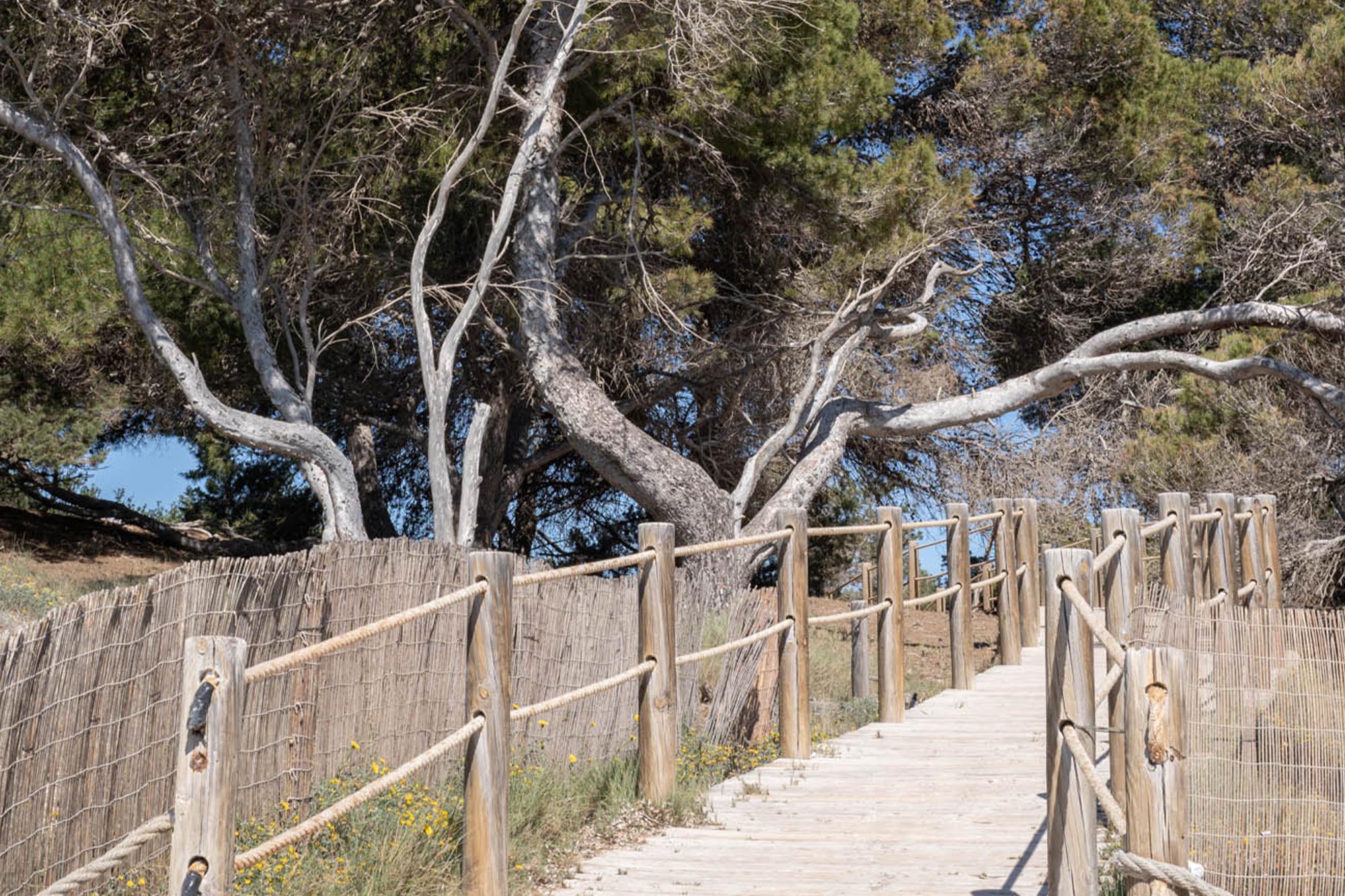
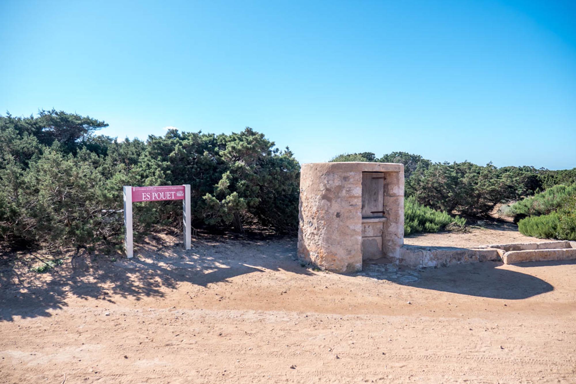
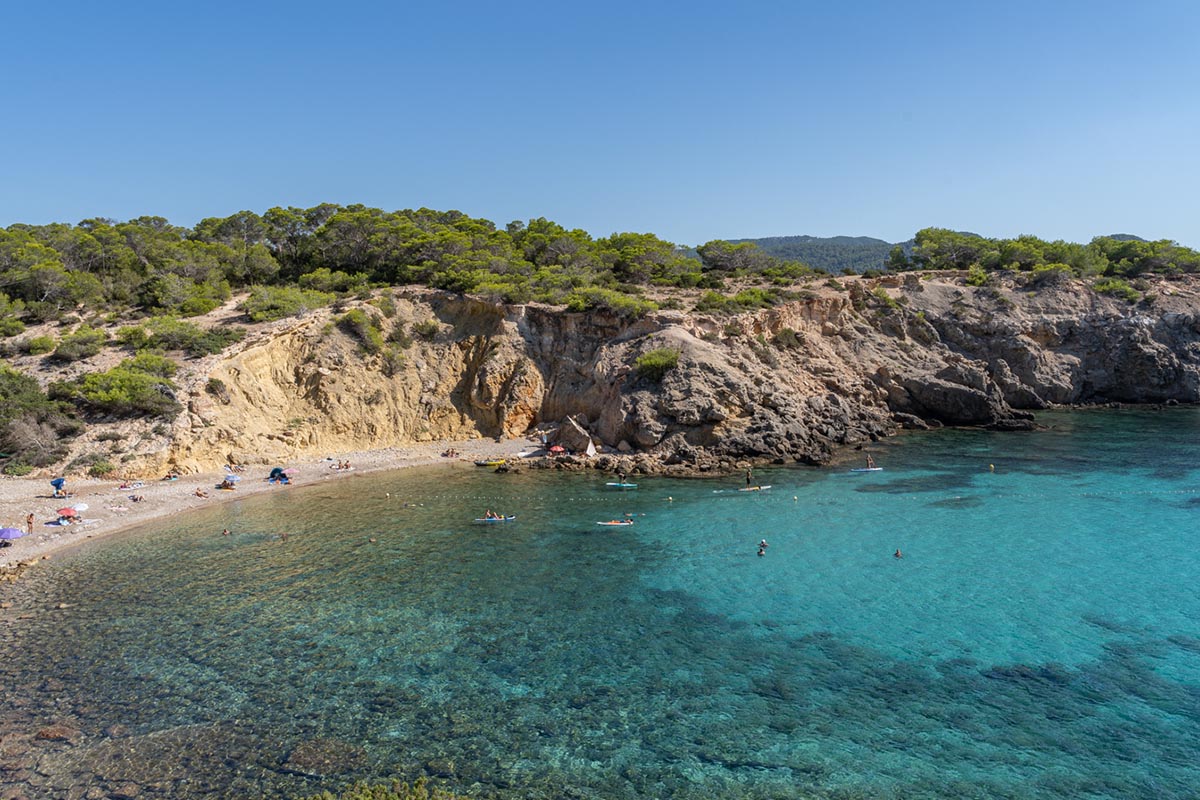
Following along the path, you reach a turn off to the left where you will discover the Pou des Carbó, a well that dates back to 1765, and which supplied the water for the steam engine boilers. Back on the route again, you will come to the popular beach of Ses Salines, a beautiful expanse of sand which at its end divides into a number of little coves with sandstone cliffs etched by the wind and also by human activity. The straighter lines bear witness to a time when the area was a quarry used to supply stone for building the walls of Ibiza’s old town. If you follow this trail in summer, it is probably advisable to take the path that runs through the woodland making the most of the shade that it affords, and which you reach passing on from the sand dunes and the beach. The paths converge and lead to some interesting places such as Pouet de Sa Trinxa (a well built in sandstone, designed to provide fresh water for workers).
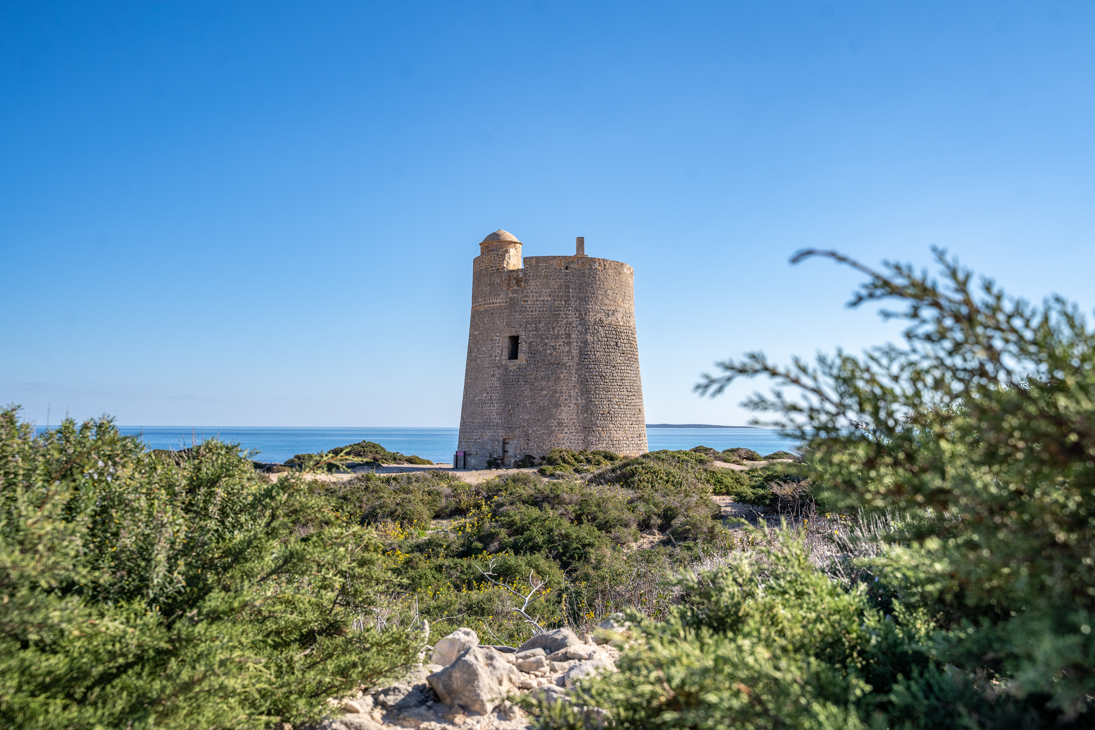
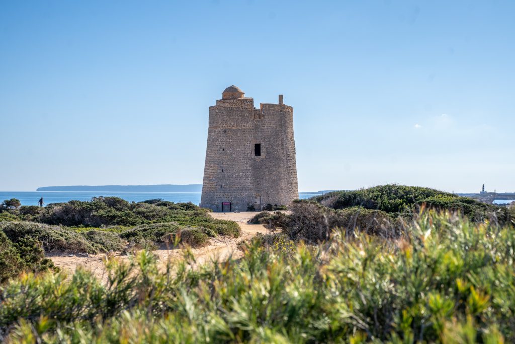
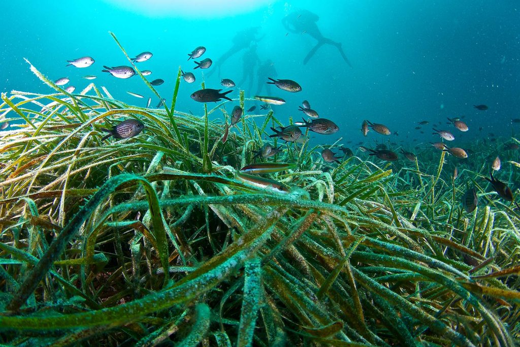
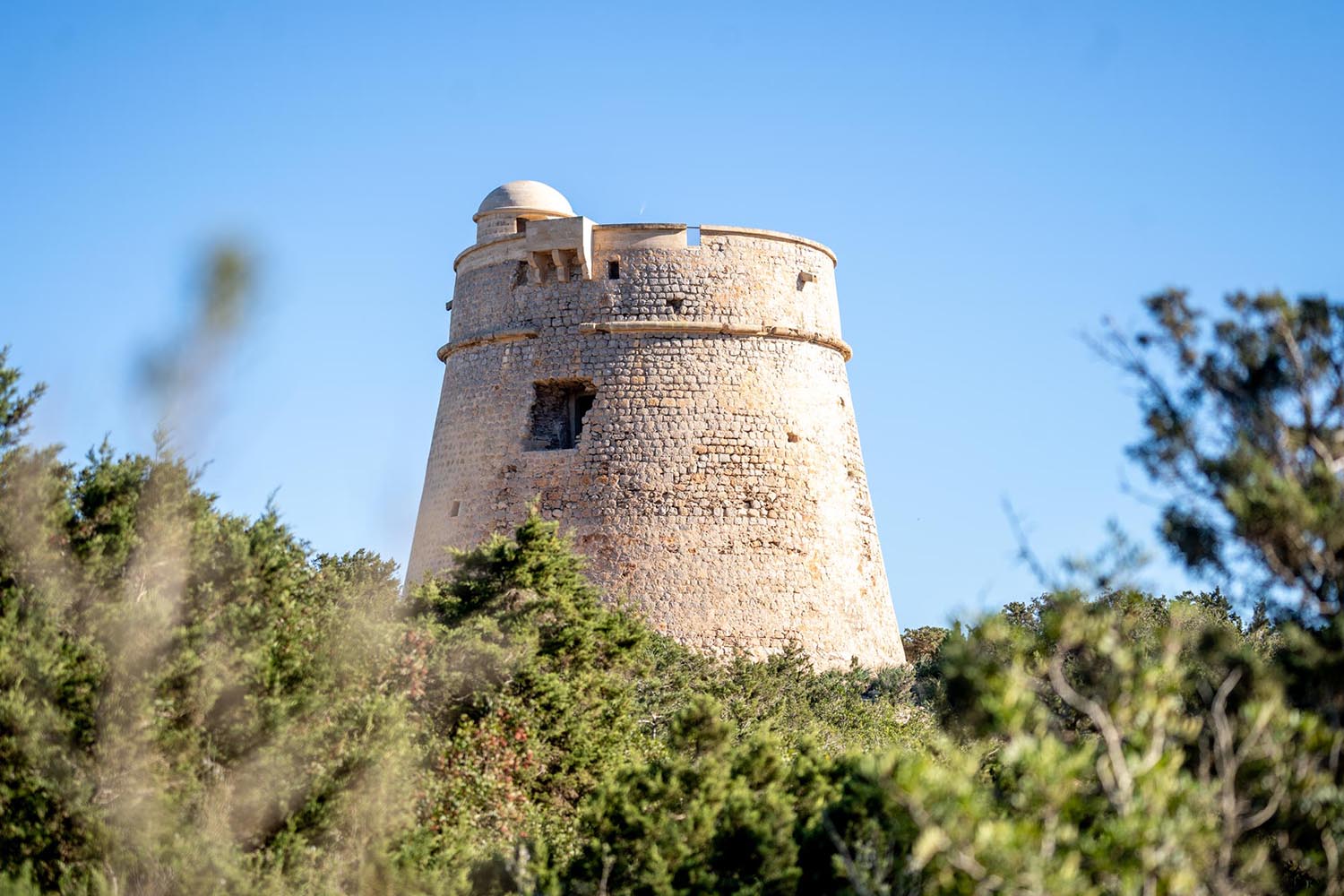
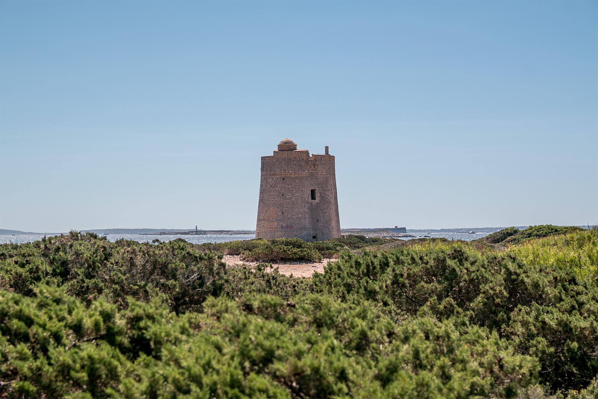
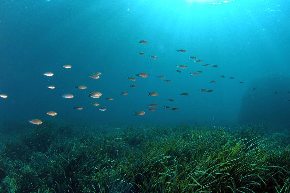
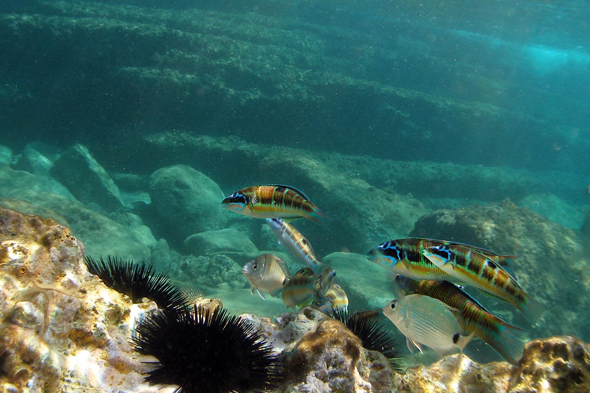
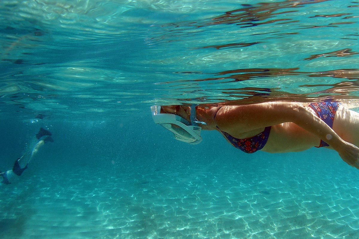
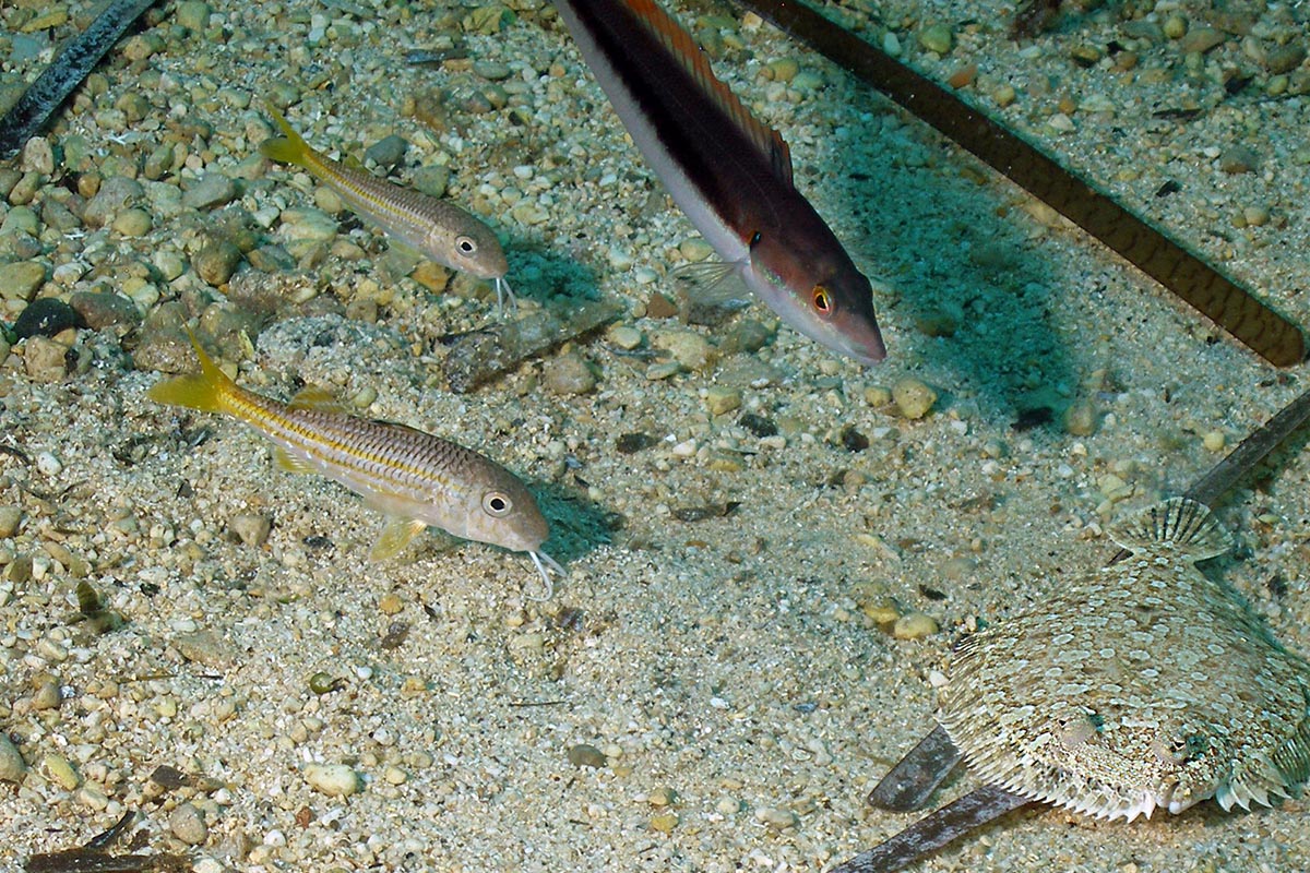
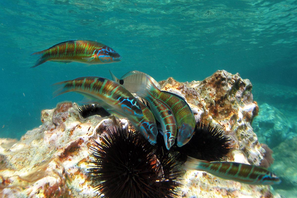
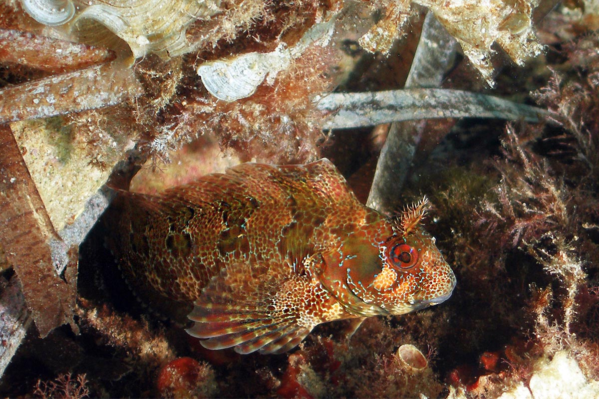
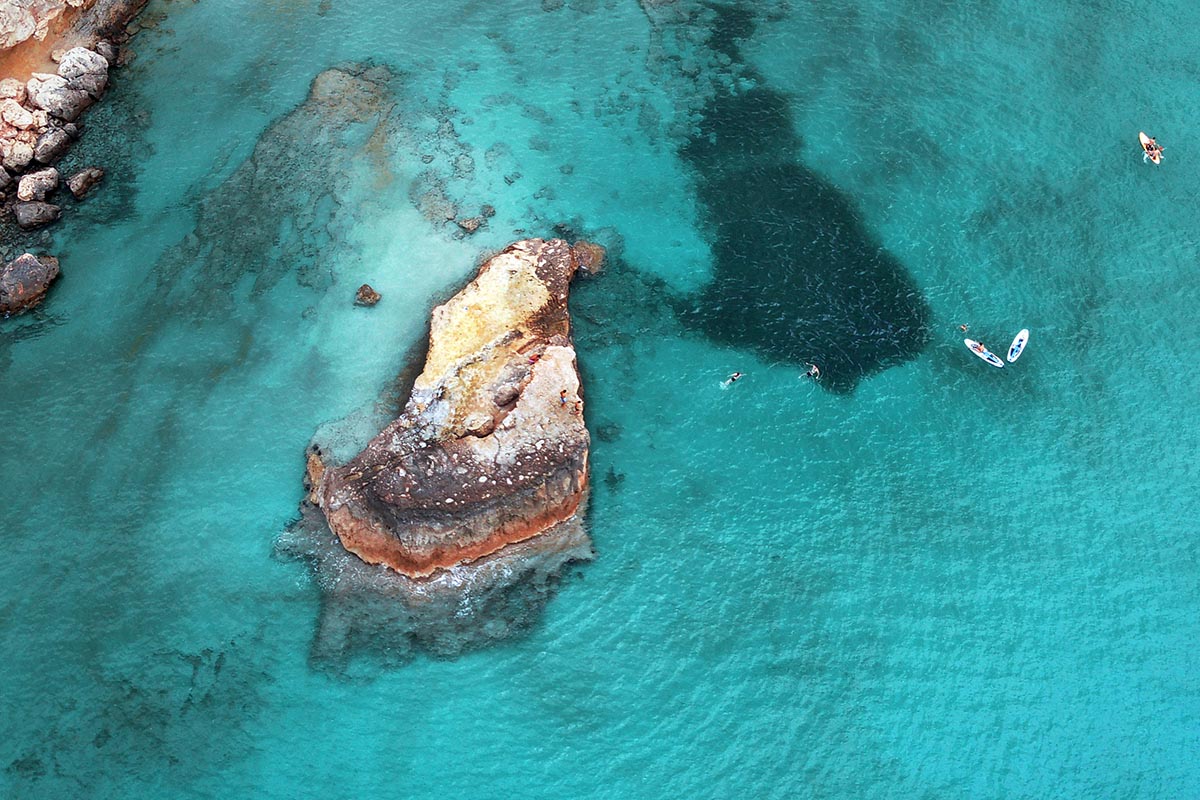
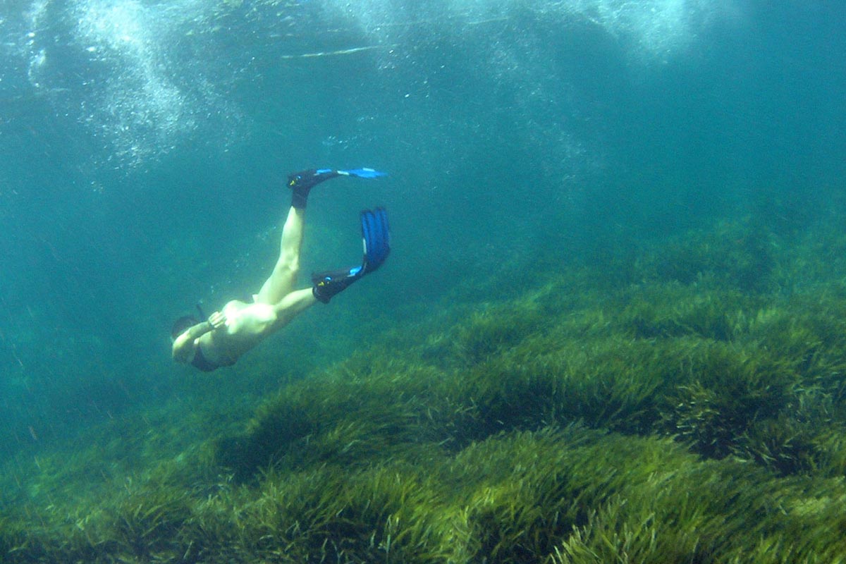
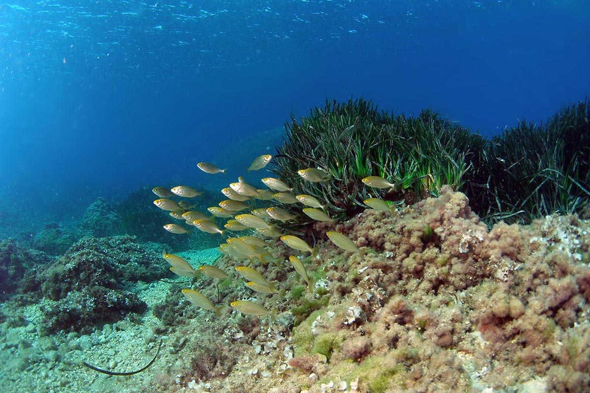
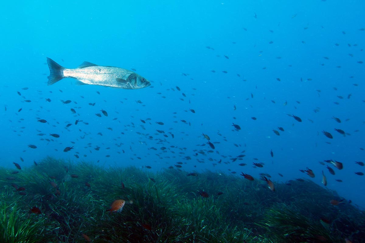
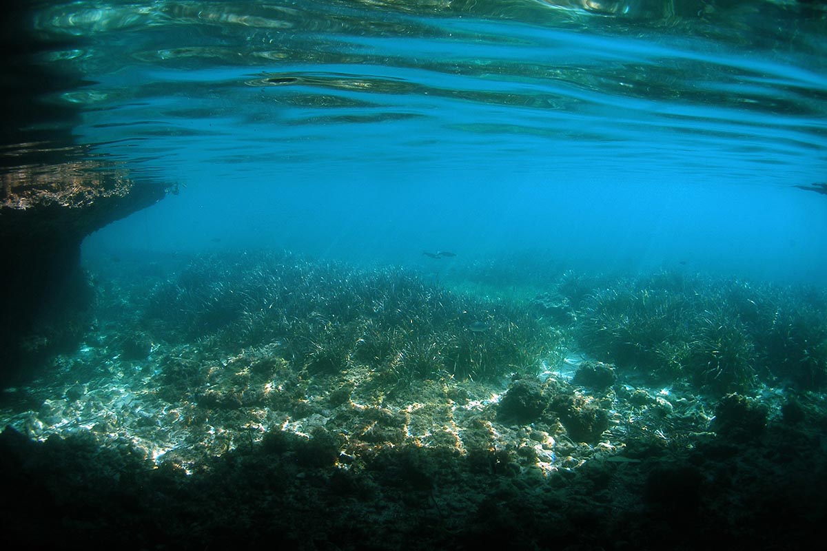
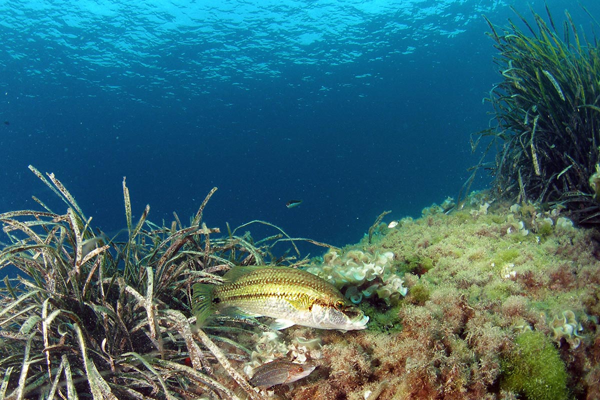
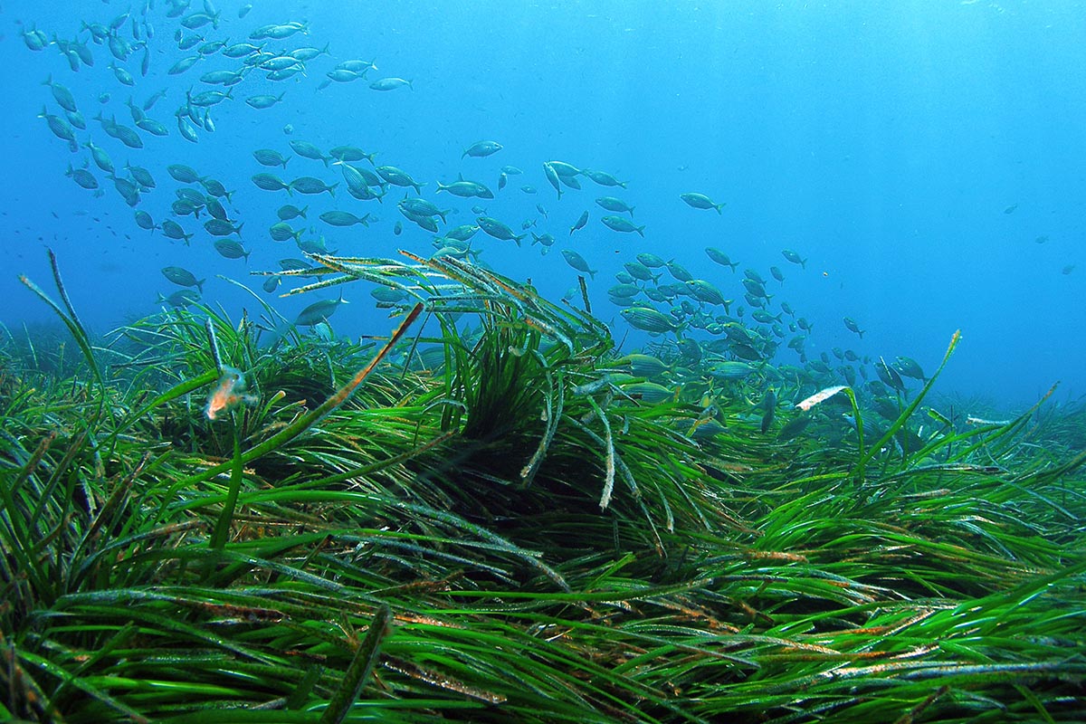
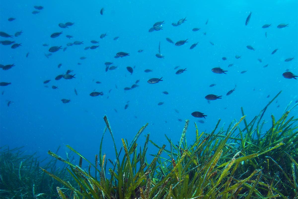
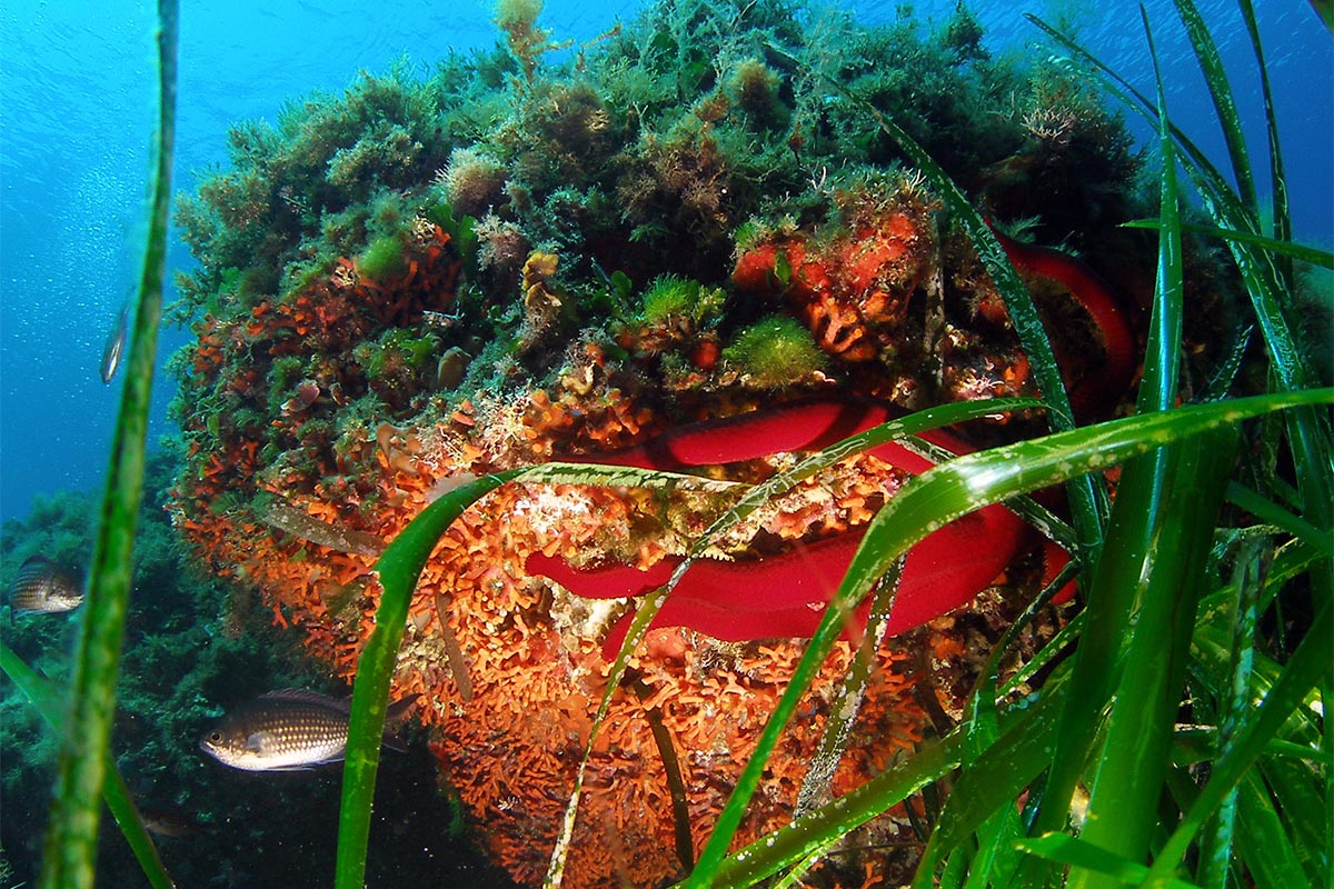
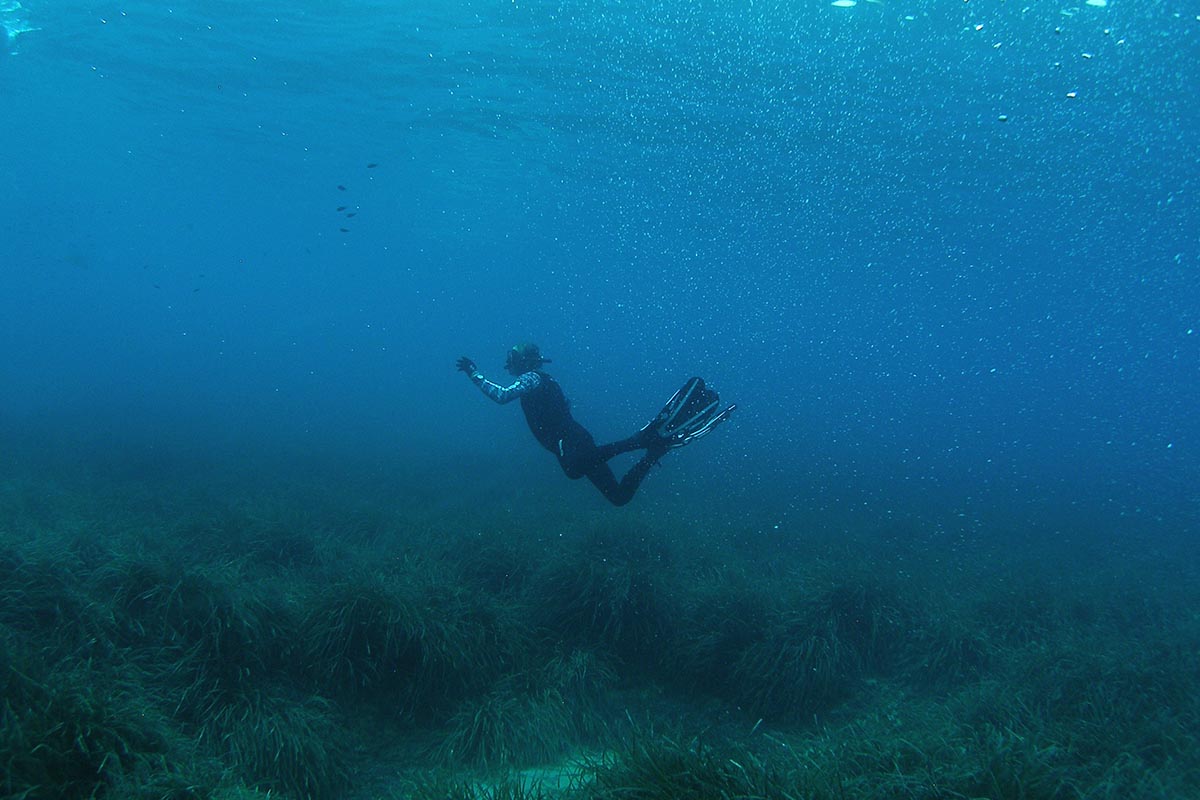
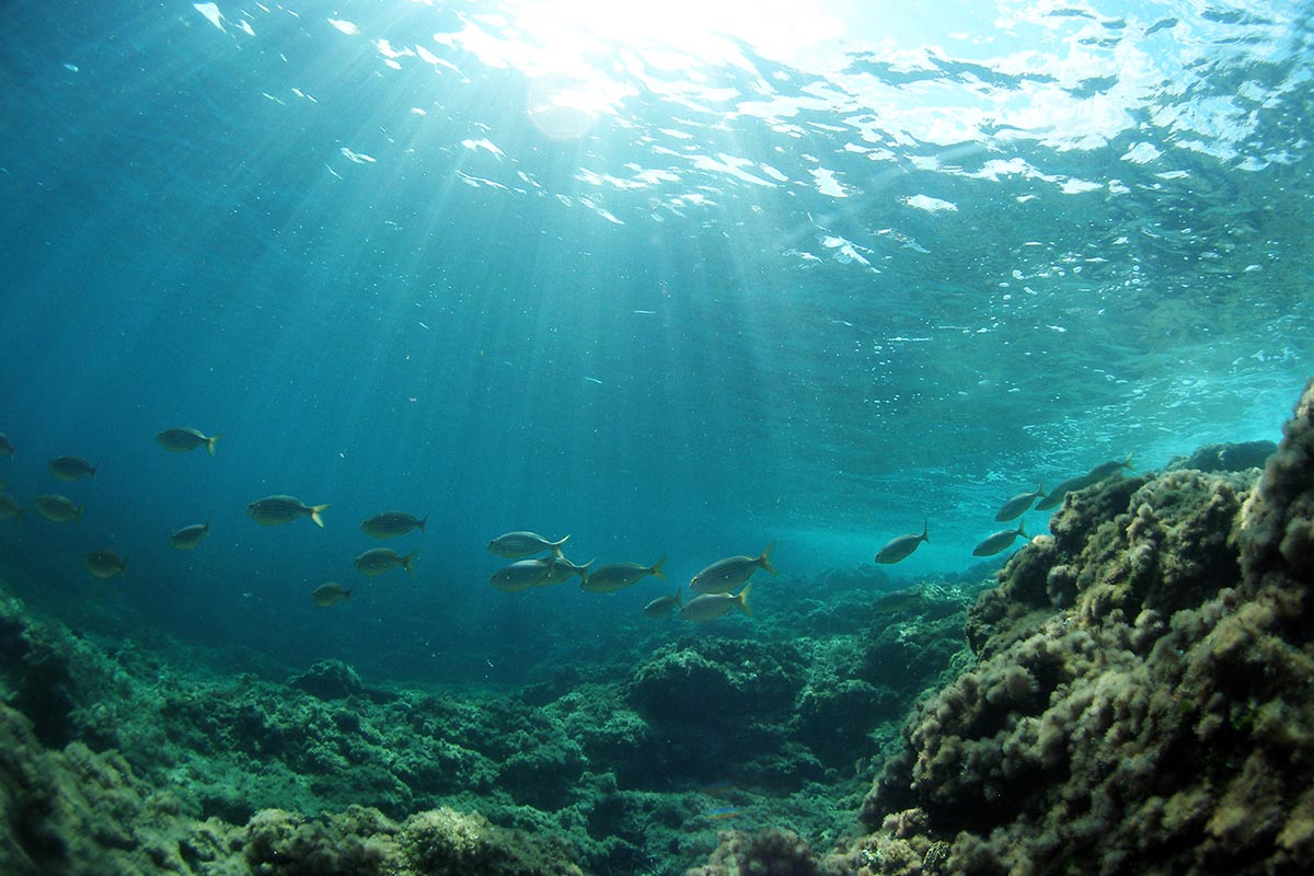
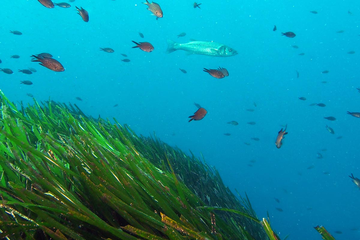
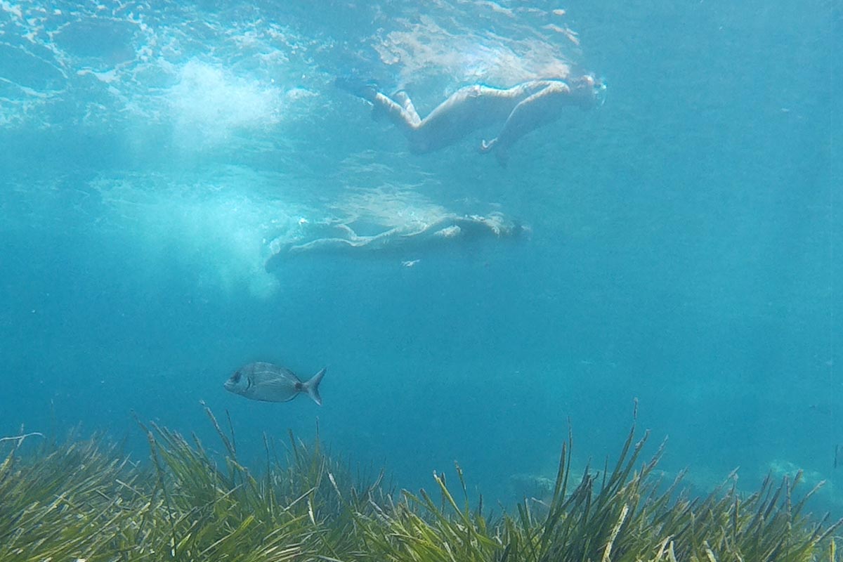
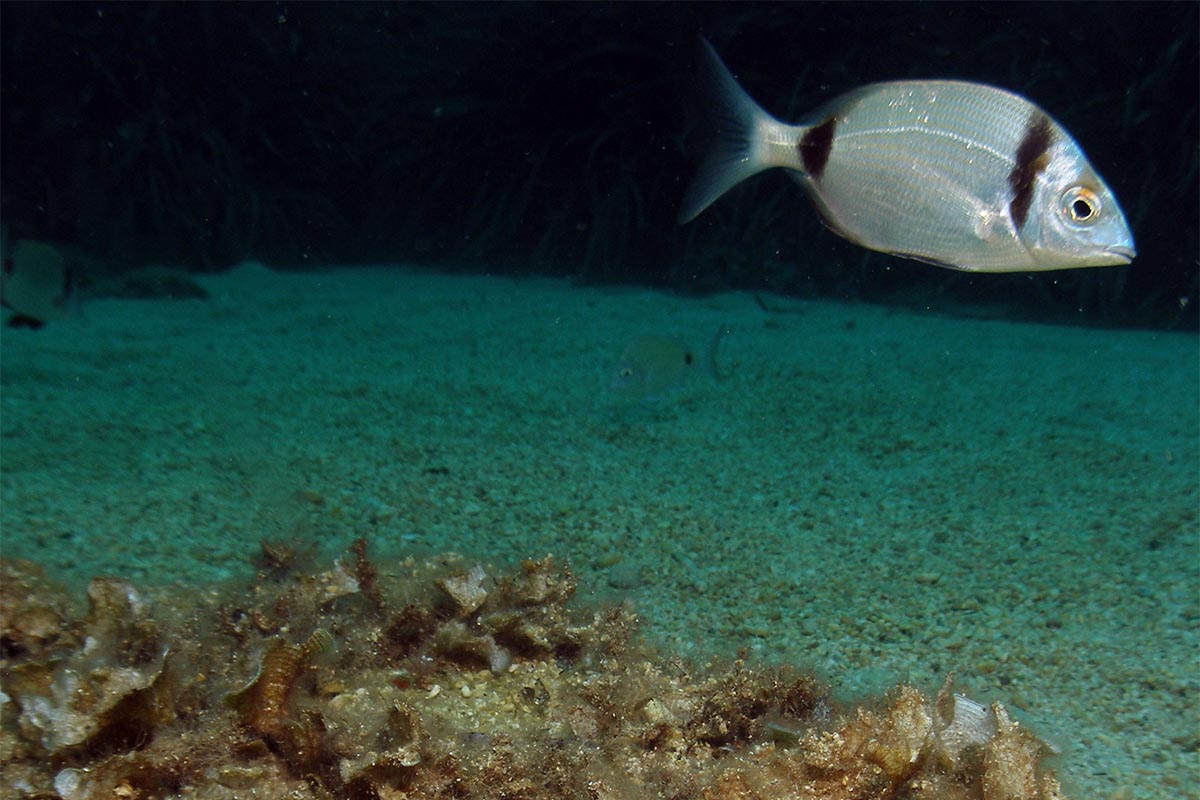
This is a good place to take a short cut to the north where the extensive juniper woods open out towards the salt pans, finally leading to Es Cavallet Point, the end of the trail. However, if you decide to continue the path along the edge of the beach of Ses Salines you will come to the Ses Portes watch tower, a place of critical importance in the 17th century when it was built to control the vessels passing through the channel between Ibiza and Formentera. From there, the coastline turns at almost 180º and faces northwards. The route then opens out onto the beach of Es Cavallet with its magnificent expanse of white sand to the east where you can see the wide fields of Posidonia sea grass beneath the waters. This marine plant, possibly one of the most ancient living organisms on the planet, is responsible for the transparency of the water due to its incredible filtering and oxygenation abilities.
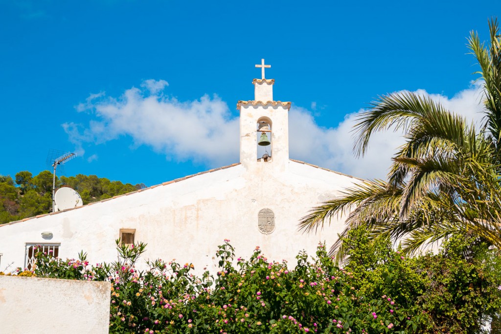
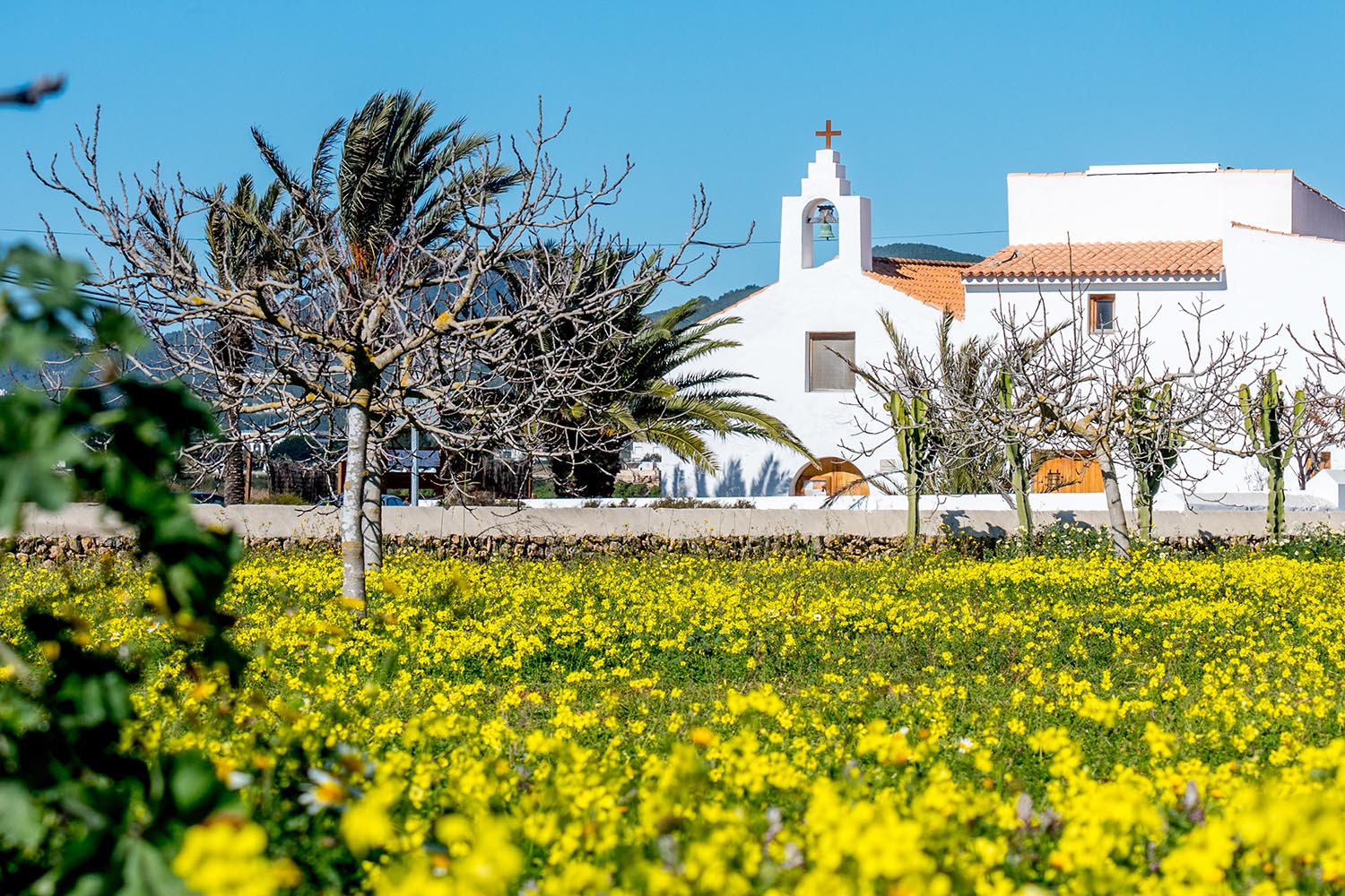
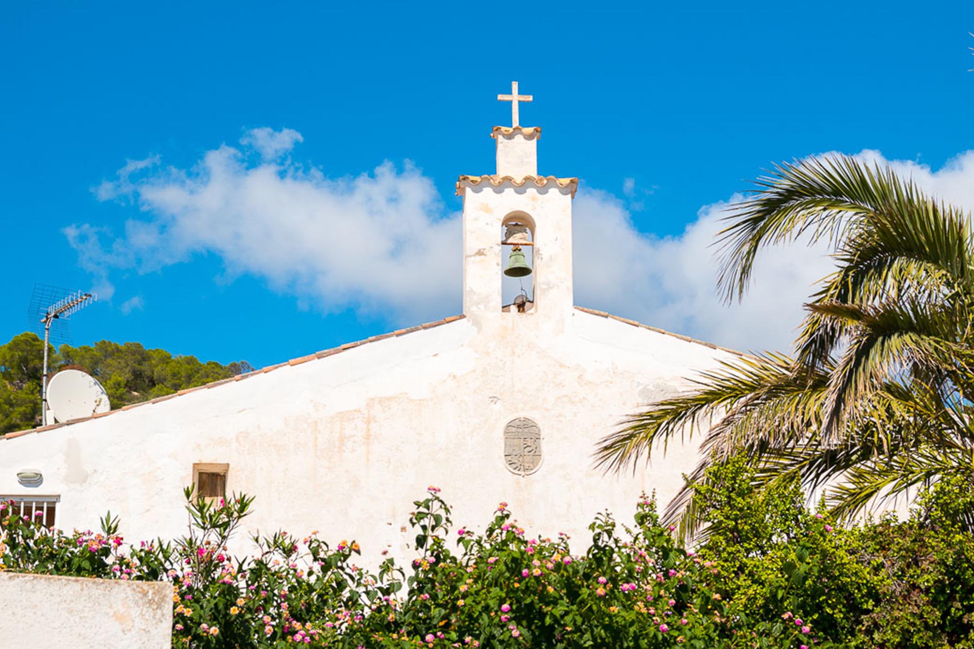
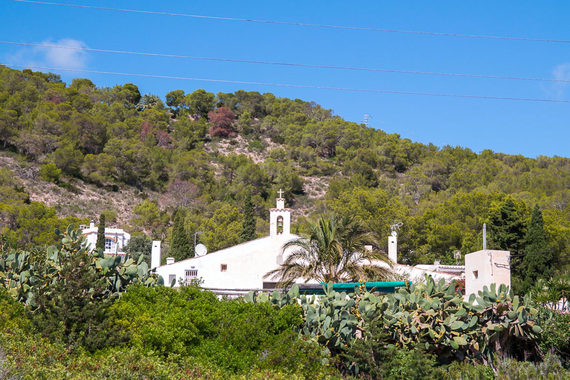
The trail ends at Es Cavallet Point known as the eastern port, where the other pier for loading the salt cargo was located. Back on the road that borders the salt pans, there is a small settlement of salt workers’ houses and a little chapel, the Capella de la Revista built in the 18th century to provide religious services for workers in the area.


